| Photographs of Perth, Western Australia | |||
Calingiri At the heart of the Shire of Victoria Plains, Calingiri is located on the Bindi Bindi - Toodyay Road almost half way between Bolgart and Yerecoin and is 143 kms north east of Perth. The town is named after nearby Calingiri Waterhole. Settlement was first proposed in 1914. The town was gazetted in 1917. Before the final name was adopted, these variations were used: Calingtry, Kalingiri, Kalingary, Calingarra, Caligiry, Kalingiry and even The Washpool |
|||
| North to Yerecoin | South to Bolgart | ||
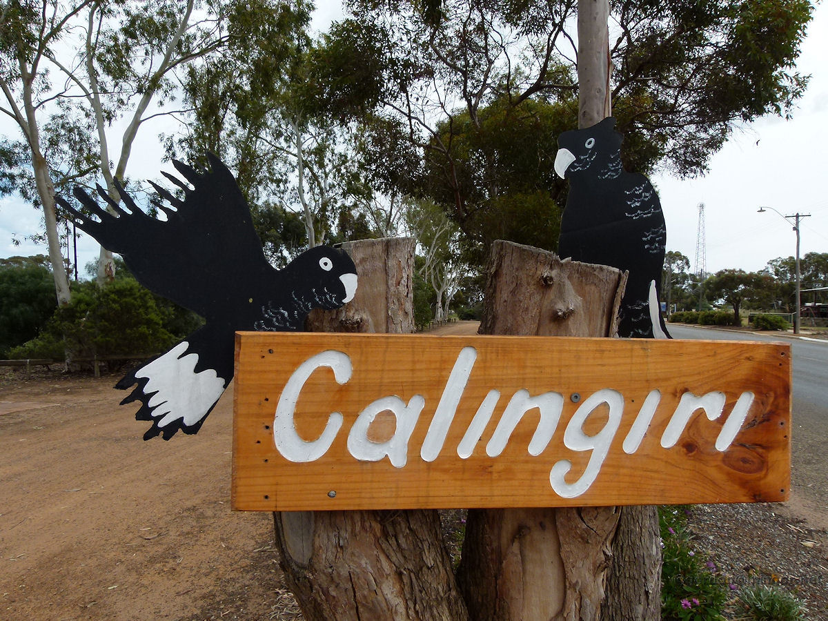 |
Calingiri - Roadside Welcome Sign Roadside sign proclaiming our arrival in town, complete with a couple of black cockatoos. October 2011. Photos Ref: CALG001 |
||
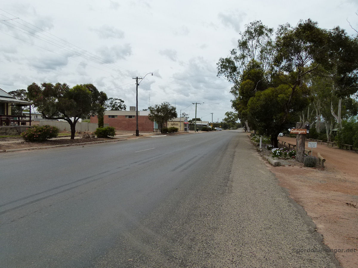 |
Calingiri - Highway A view looking south down the Bindi Bindi - Toodyay Road, back towards Bolgart. October 2011. Photos Ref: CALG002 |
||
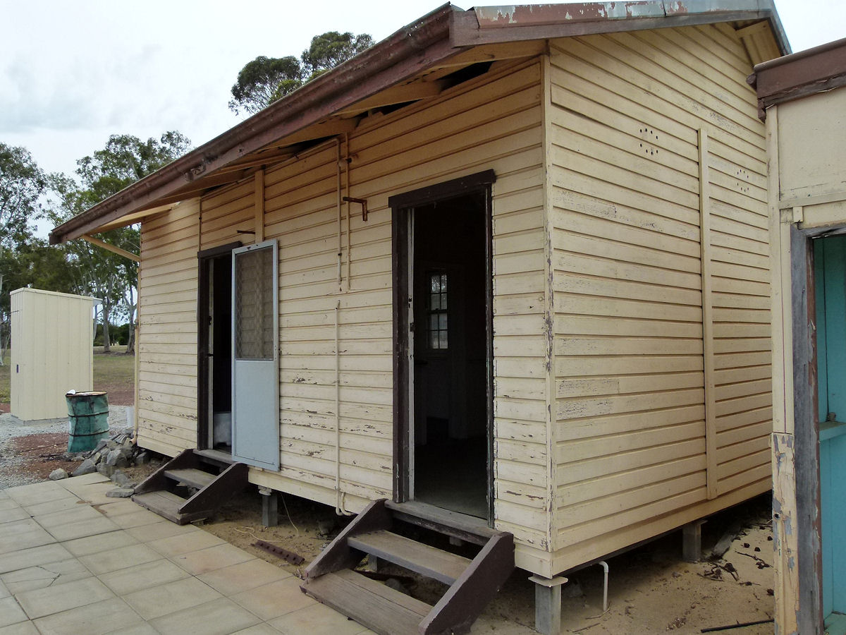 |
Calingiri - Railway Station Sitting beside the rail tracks is what you would guess to be the original Calingiri station. But it's not. In fact this building is part of the old Miling Station and this section was transported here sometime after Miling station was closed in 1985. This part housed the parcels/ticketing office and station master's office - see the other half under Miling locality. (Info from former Miling Station Master, Kevin Rosier). October 2011. Photos Ref: CALG003 |
||
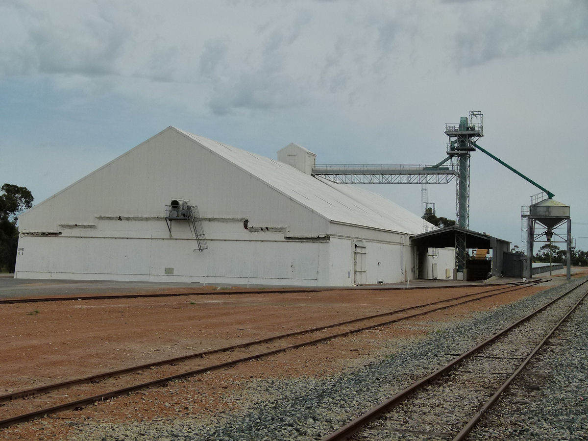 |
Calingiri - Grain Storage Grain storage bins next to the railway line. They all look pretty similar but mostly are the dominant structure in these small wheat towns. The rail track is narrow gauge and used probably only after the grain harvest each year. October 2011. Photos Ref: CALG004 |
||
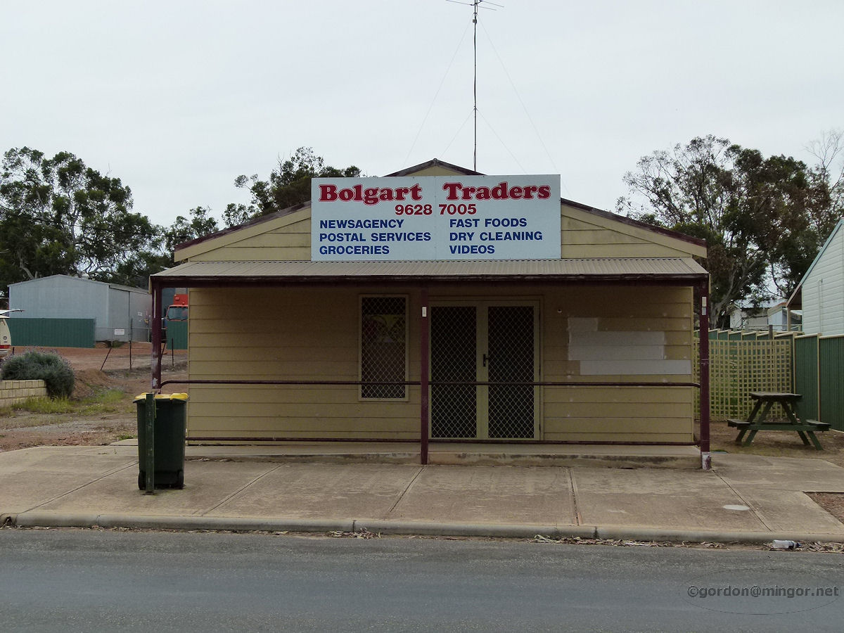 |
Calingiri - Bolgart Traders Bolgart Traders store on the main road through town where you can buy just about any daily needs. October 2011. Photos Ref: CALG005 |
||
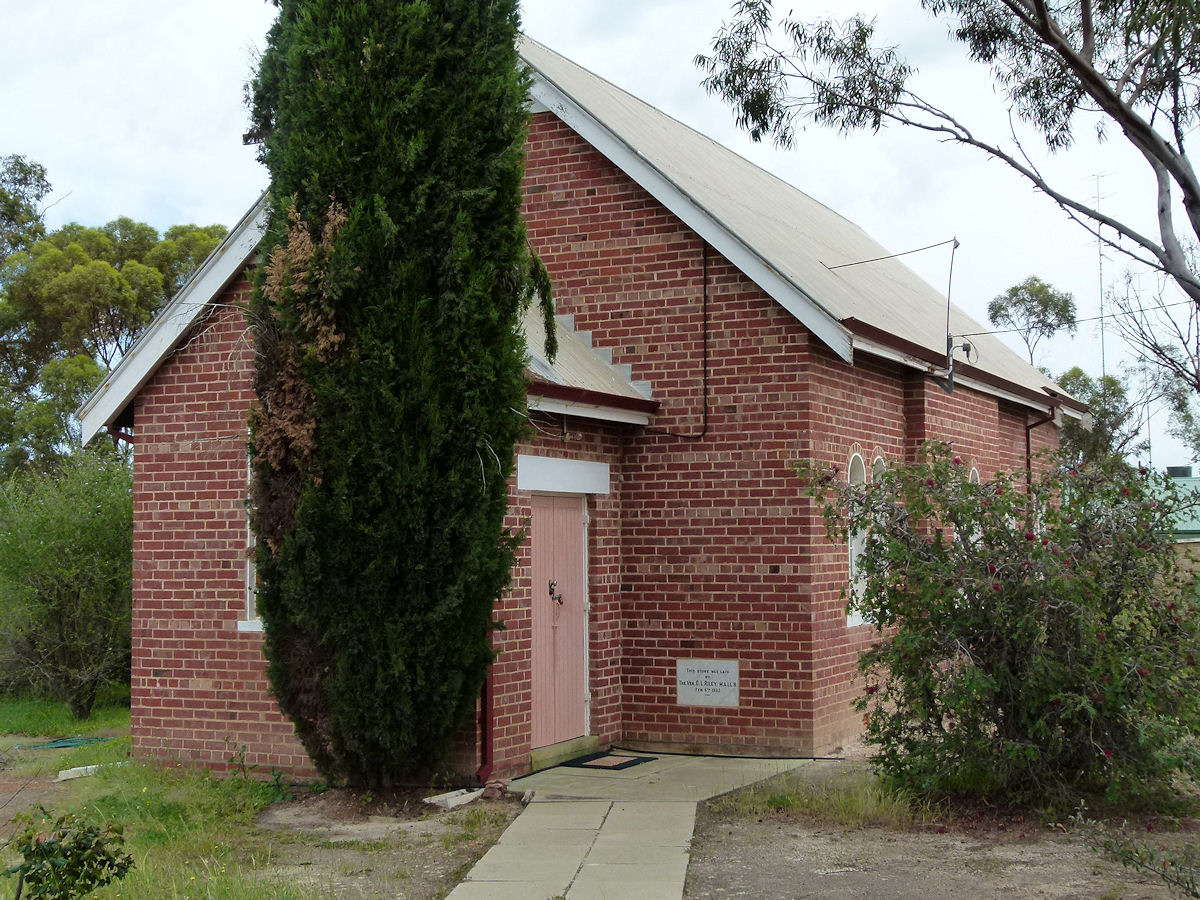 |
Calingiri - Anglican Church St John the Baptist Anglican Church, Calingiri. The Foundation Stone was laid by the Ven. C. L. Riley on February 6th, 1932. October 2011. Photos Ref: CALG006 |
||
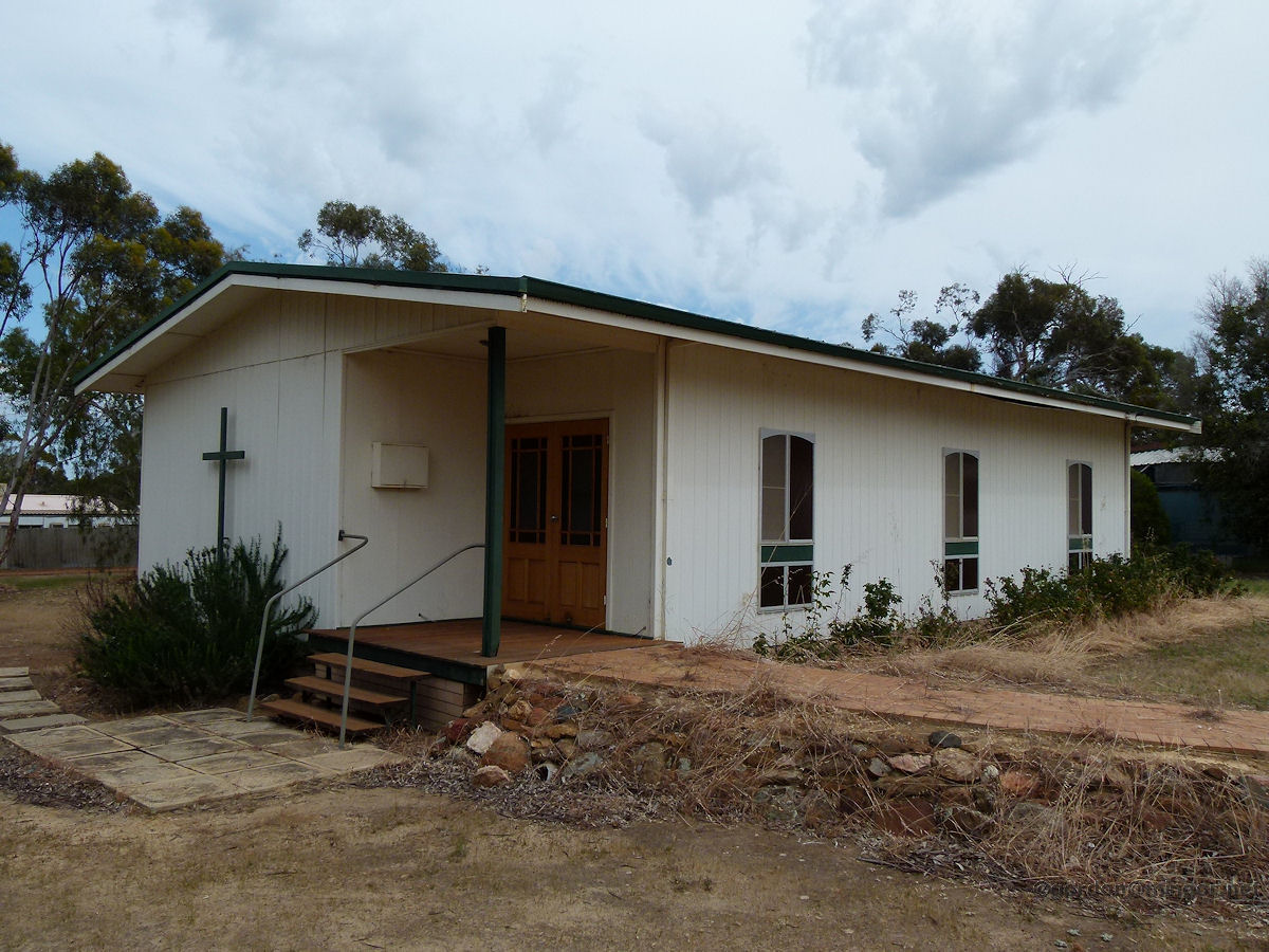 |
Calingiri - Catholic Church The modern Catholic Church of Calingiri. This is St Anselm's Church built in 1973. In around 1939 a wooden Catholic church was constructed but this was later demolished. October 2011. Photos Ref: CALG007 |
||
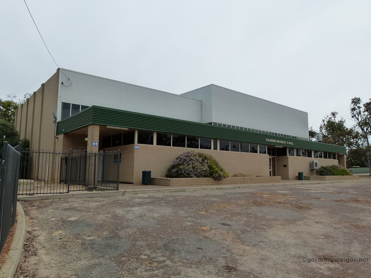 |
Calingiri - Recreation Hall The large Calingiri Recreation Hall is a modern structure which was erected in 1980. October 2011. Photos Ref: CALG008 |
||
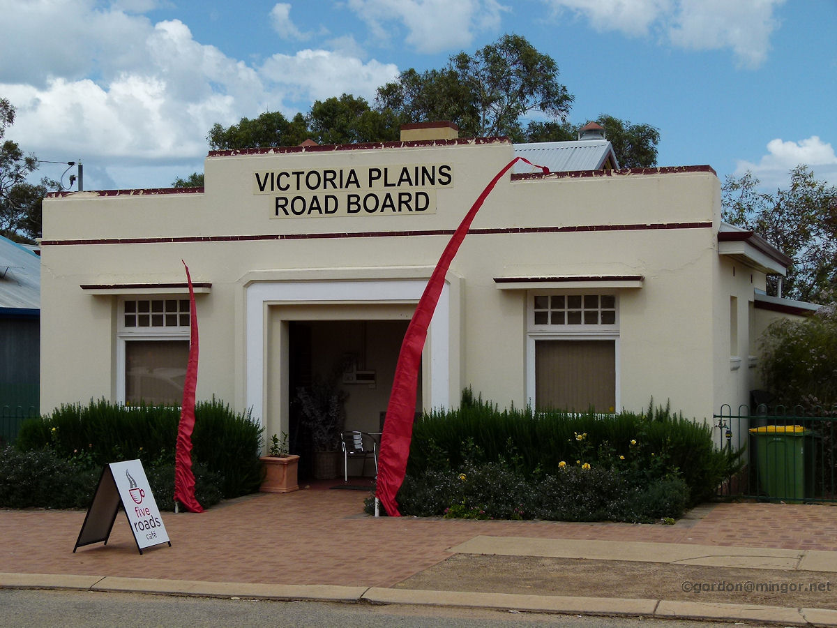 |
Calingiri - Road Board Building The former Road Board Building of Victoria Plains. The building is being well cared for by the Five Roads Cafe, the current occupants. The structure was opened by P. D. Ferguson, M.L.A., on March 20th, 1937. October 2011. Photos Ref: CALG009 |
||
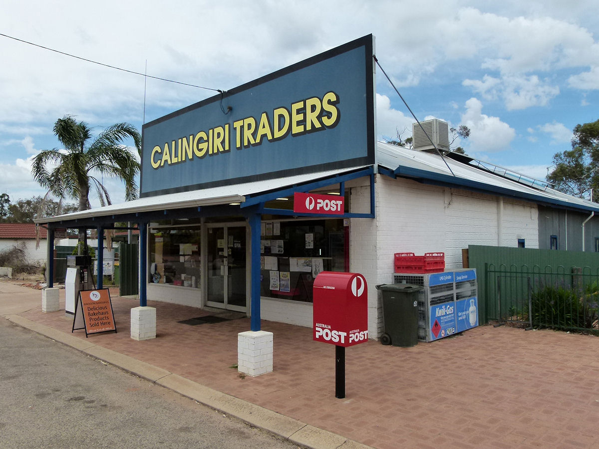 |
Calingiri - Calingiri Traders Calingiri Traders, the town's all-purpose general store caters for many of the daily needs of the local townsfolk. October 2011. Photos Ref: CALG010 |
||
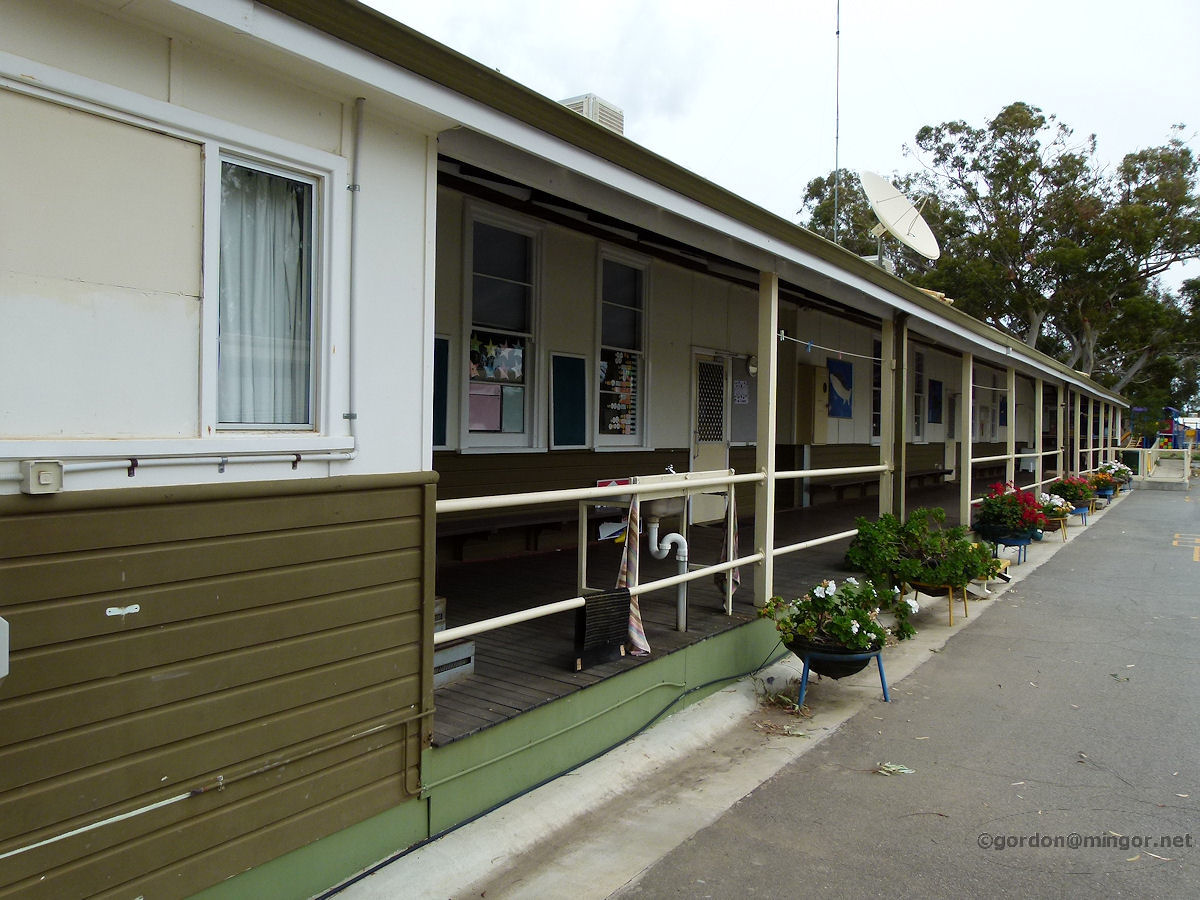 |
Calingiri - Primary School This is one face of the local primary school, a view down a verandah showing some of the classroom doors. The school first opened on August 1st, 1917. The school looks attractive and well maintained. October 2011. Photos Ref: CALG011 |
||
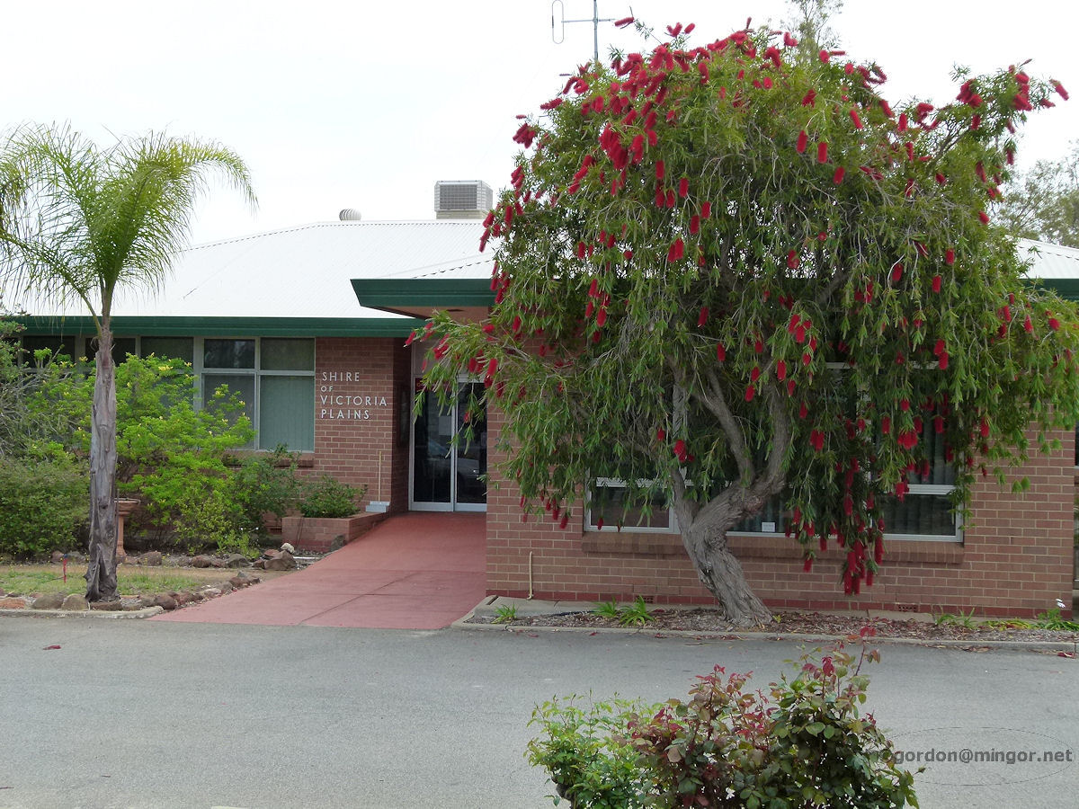 |
Calingiri - Shire of Victoria Plains Offices Calingiri is in the middle of the Shire of Victoria Plains and as such, the shire has made this town its headquarters. This is a glimpse of the Shire Offices. October 2011. Photos Ref: CALG012 |
||
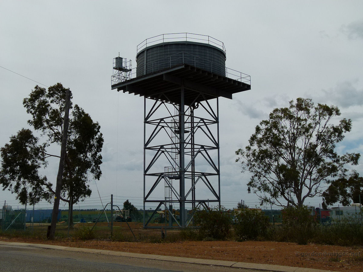 |
Calingiri - Water Tank A water tank which undoubtedly stores and delivers the town's water supply is flanked by a couple of trees in its position on the edge of town. October 2011. Photos Ref: CALG013 |
||
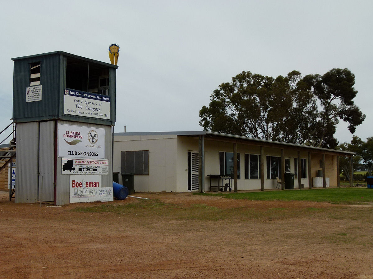 |
Calingiri - Sports Ground The local sports ground is currently being maintained. Big piles of soil/sand probably to top dress the playing surface? This looks like a broadcast/coaches tower with the clubrooms alongside. October 2011. Photos Ref: CALG014 |
||
All images published on this website are copyright © of the webmaster. See About section for clarification and special schools permission |
|||