| Photographs of Perth, Western Australia | |||
Bencubbin - Photographs of Western Australia Bencubbin is the largest town within the Shire of Mount Marshall. The town is approx. 275 kms north-east of Perth. Local industry is centred on agriculture - wheat and wool. The town was gazetted in 1917. The name Bencubbin is derived from a name used by Aborigines for Mount Marshall. At one time this was the extremity of the railway line running north and east from Wyalkatchem. The line (now classified as Tier 2) was later extended east to Mukinbudin |
|||
| North to Beacon | South to Trayning | ||
| West to Koorda | East to Mukinbudin | ||
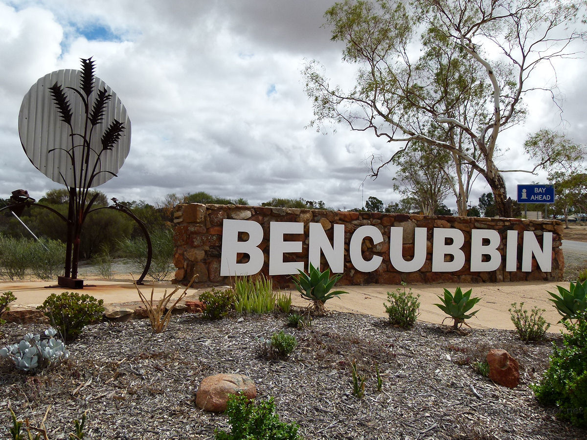 |
Bencubbin Welcome Sign The bold Bencubbin welcome sign sits alongside the road into town. March 2015. Photos Ref: BENC001 |
||
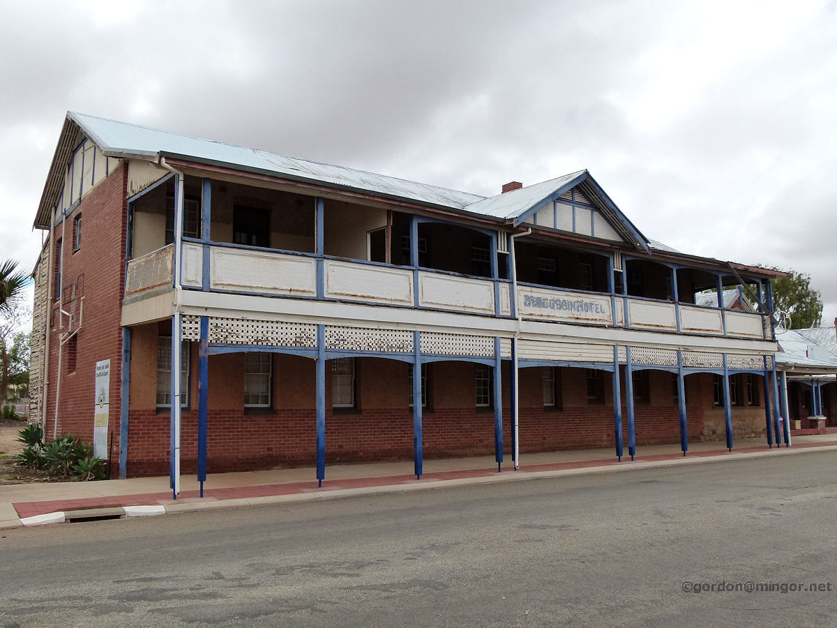 |
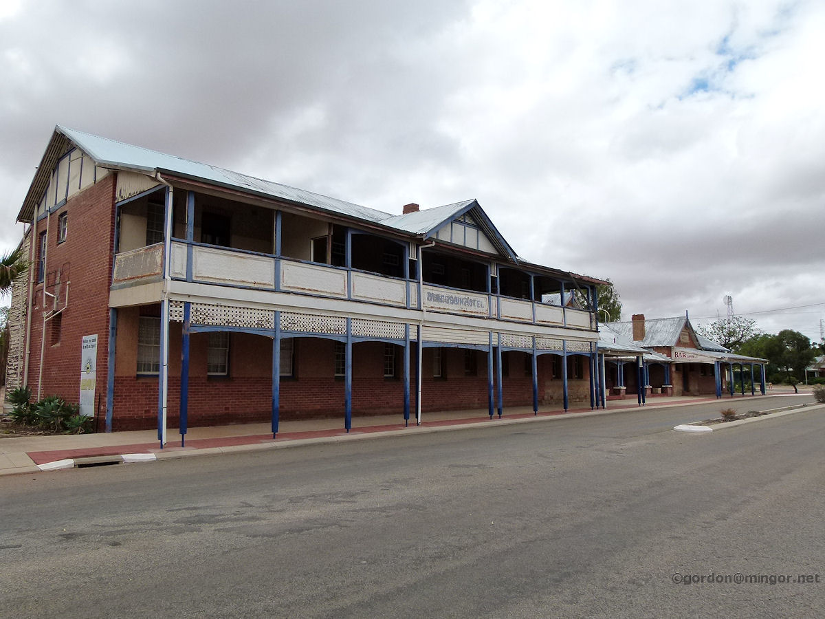
Bencubbin - Hotel The Bencubbin Hotel on Monger Street. The hotel appears to be in three parts, at least at first glance. The hotel was constructed in 1922. The upper storey was added in 1929. Apparently this hotel was significantly damaged via Cyclone Seroja in April 2021 that the Shire of Mount Marshall wants to demolish it. March 2015. Photos Ref: BENC002 |
||
 |
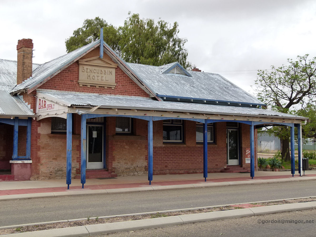
Bencubbin - Hotel The central section of the hotel which is to the right of the double storey structure. March 2015. Photos Ref: BENC003 |
||
 |
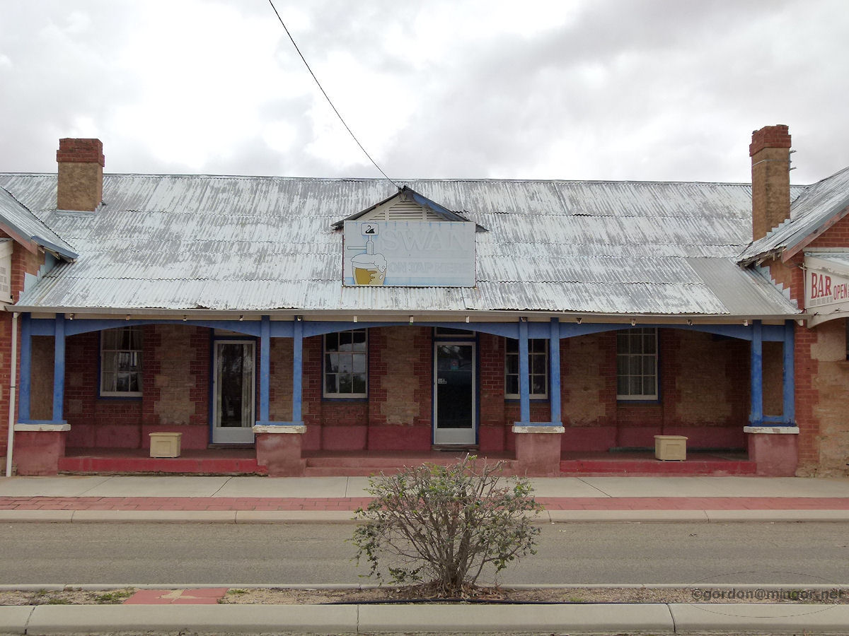
Bencubbin - Hotel The final part of the hotel. This is to the right again. At the rear are what appear to be much newer accommodation units. March 2015. Photos Ref: BENC004 |
||
 |
Bencubbin - Hotel This shows the full length of the hotel stretching along the main street. March 2015. Photos Ref: BENC005 |
||
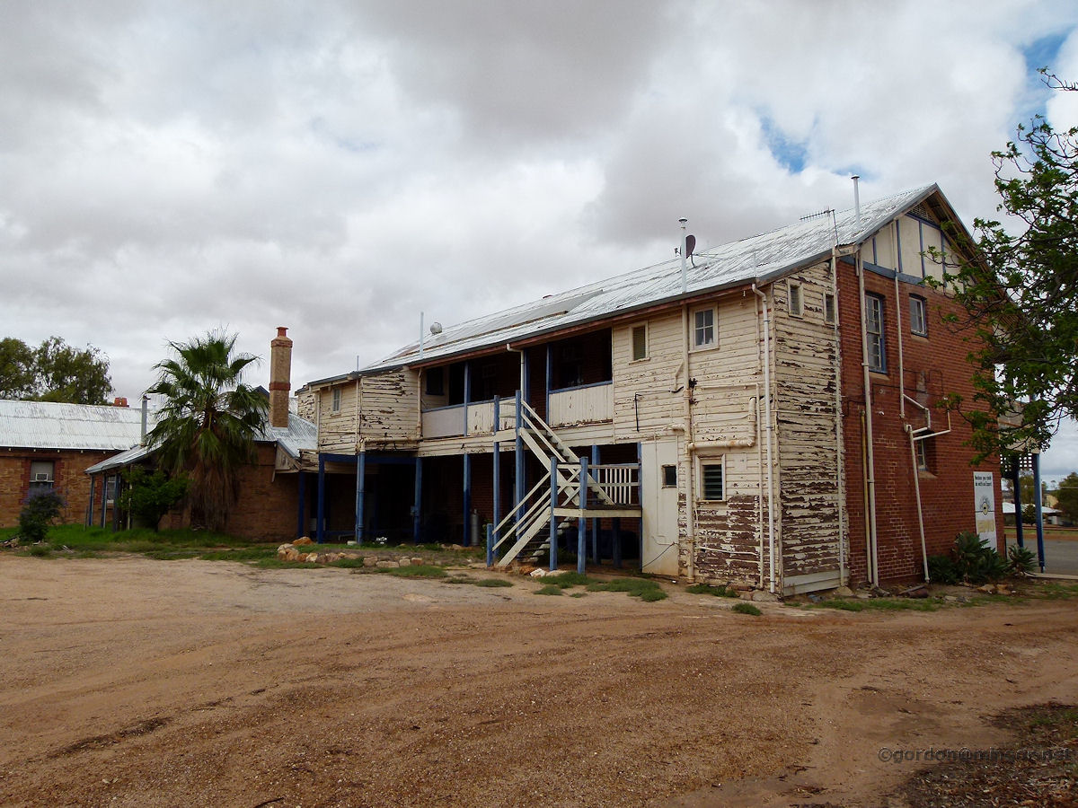 |
Bencubbin - Hotel Here is a rear view of the double storey section. The weatherboard section was added for staff accommodation. March 2015. Photos Ref: BENC006 |
||
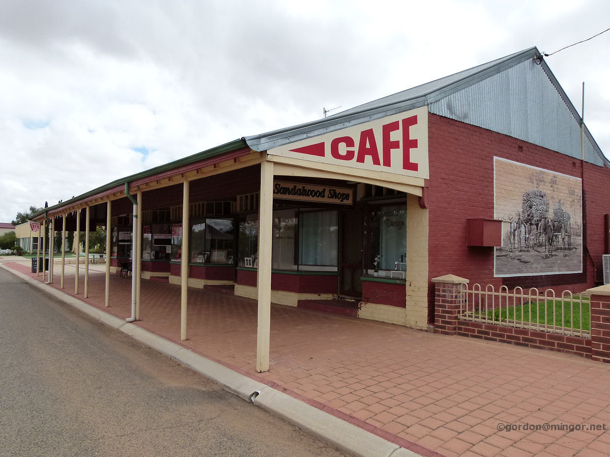 |
Bencubbin - Sandalwood Shops This row of shops was built in 1923. The shops are on Monger Street next to the hotel. At various times, businesses such as a post office, a baker and a branch of the R & I Bank have occupied these premises. The building looks to have been recently renovated. March 2015. Photos Ref: BENC007 |
||
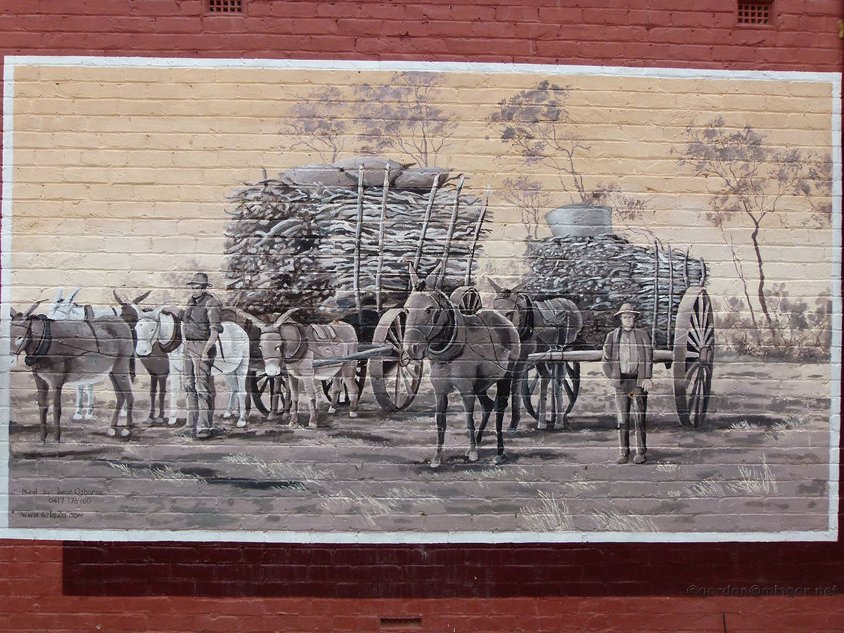 |
Bencubbin - Cafe Wall Painting This painting adorns the wall of the cafe (it is visible in the above picture). It depicts old-timers carting their much valued sandalwood off to market. The mural was created by West Australian artist Irene Osborne. You can see this picture and many others at Irene's www.arts2u.com website. March 2015. Photos Ref: BENC008 |
||
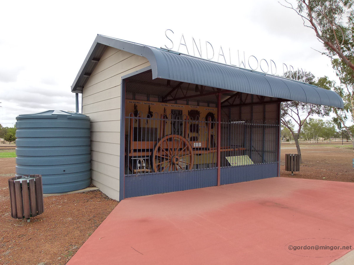 |
Bencubbin - Sandalwood Dray Close to the rail lines is this shelter housing an old dray which was once used to haul sandalwood. March 2015. Photos Ref: BENC009 |
||
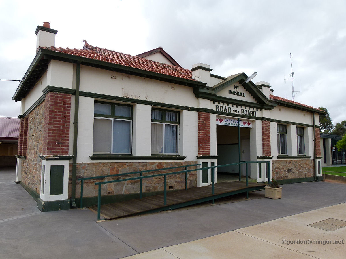 |
Bencubbin - Road Board The Mount Marshall Road Board building which was built in 1927. At the rear is the Shire Hall which is a later addition, probably constructed in 1950. These premises are now used by Bennymart Grocery Store. March 2015. Photos Ref: BENC010 |
||
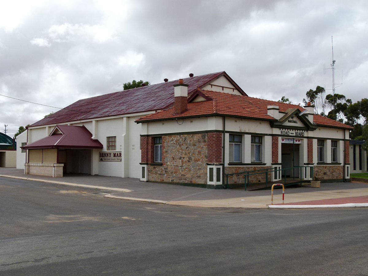 |
Bencubbin - Road Board Another view of the Mount Marshall Road Board building. Here you can clearly see the Shire Hall which sits behind the front stone section. March 2015. Photos Ref: BENC011 |
||
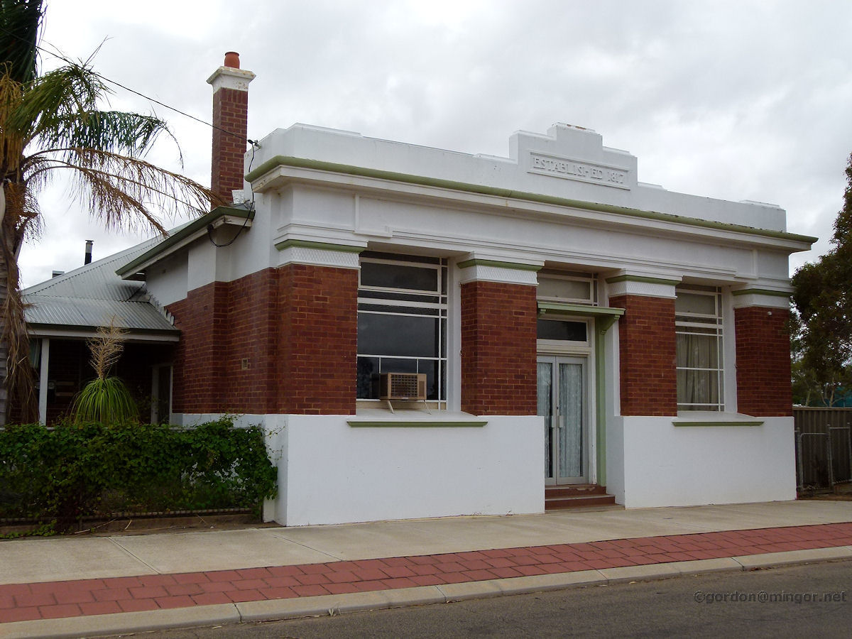 |
Bencubbin - Bank NSW On Monger Street is this former Bank of New South Wales building which now appears to be a private residence. This was erected in 1929. March 2015. Photos Ref: BENC012 |
||
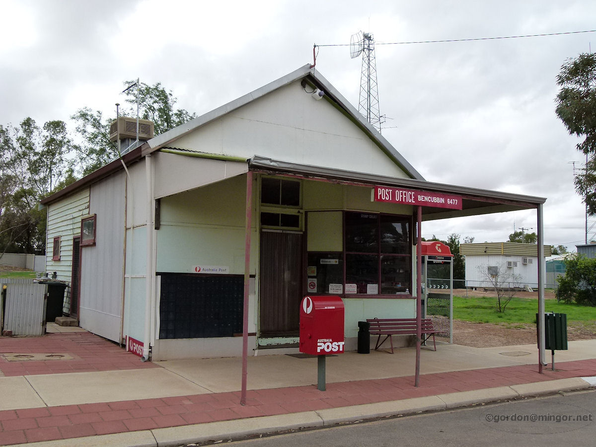 |
Bencubbin - Post Office On Monger Street is the post office. No construction date is listed but this would surely date back to the time when the town was established. March 2015. Photos Ref: BENC013 |
||
 |
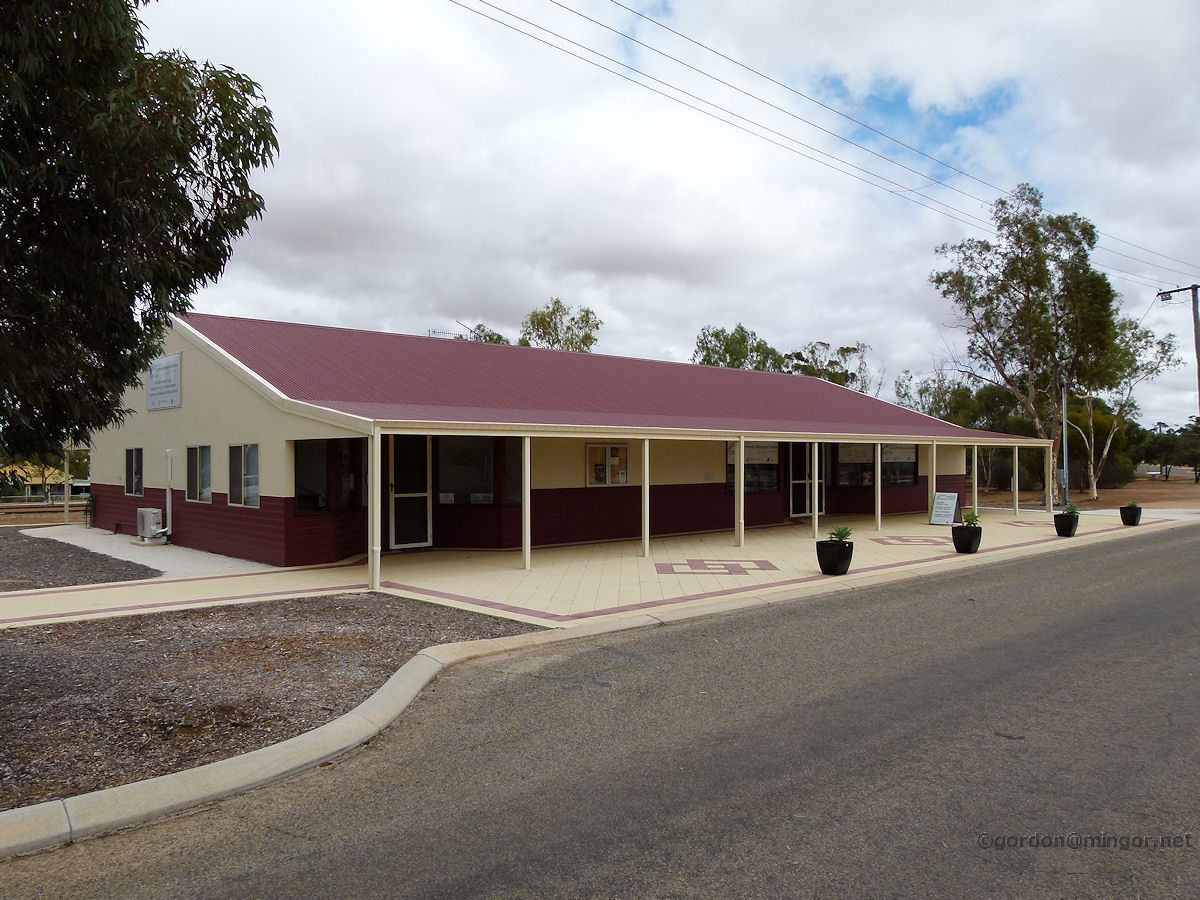
Bencubbin - Post Office Another face of the post office. March 2015. Photos Ref: BENC014 |
||
 |
Bencubbin - Community Centre The local Community Resource Centre near the railway line and opposite the hotel. March 2015. Photos Ref: BENC015 |
||
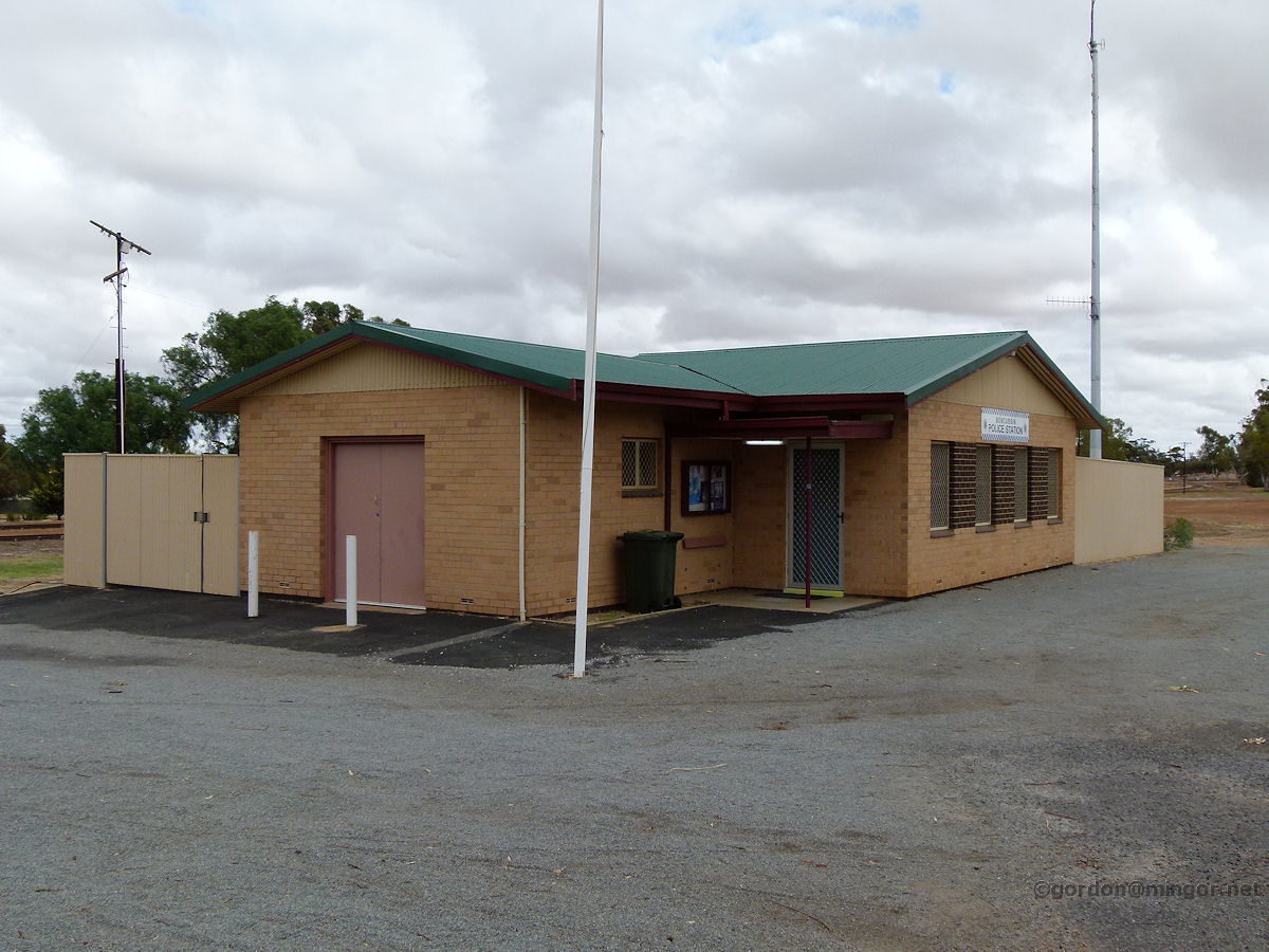 |
Bencubbin - Police Station The police station alongside the railway lines. In fact this building used to be the railway station. It still has the railways name plate on the other side. March 2015. Photos Ref: BENC016 |
||
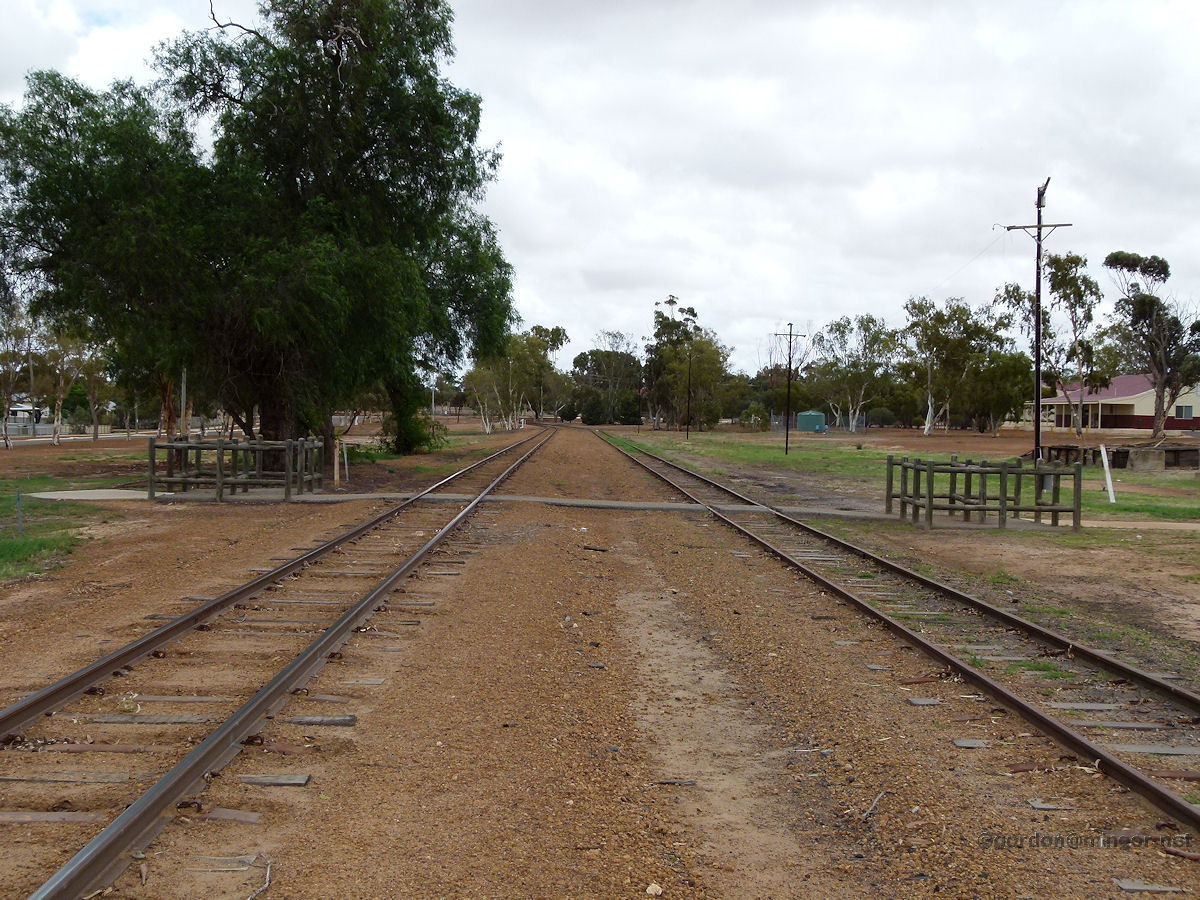 |
Bencubbin - Rail Yard The rail line passes through town. The line runs eastwards from Koorda, through Bencubbin and then continues on to Mukinbudin. This is a view down the rail yard. The line is still used to haul grain. March 2016. Photos Ref: BENC017 |
||
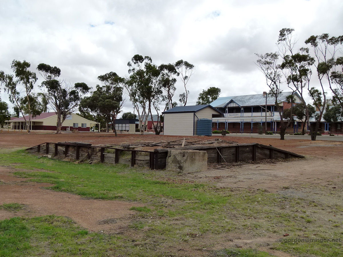 |
Bencubbin - Rail Area A former loading ramp or building foundation next to the railway line. Behind is the Sandalwood Dray shelter and beyond that the hotel. March 2015. Photos Ref: BENC018 |
||
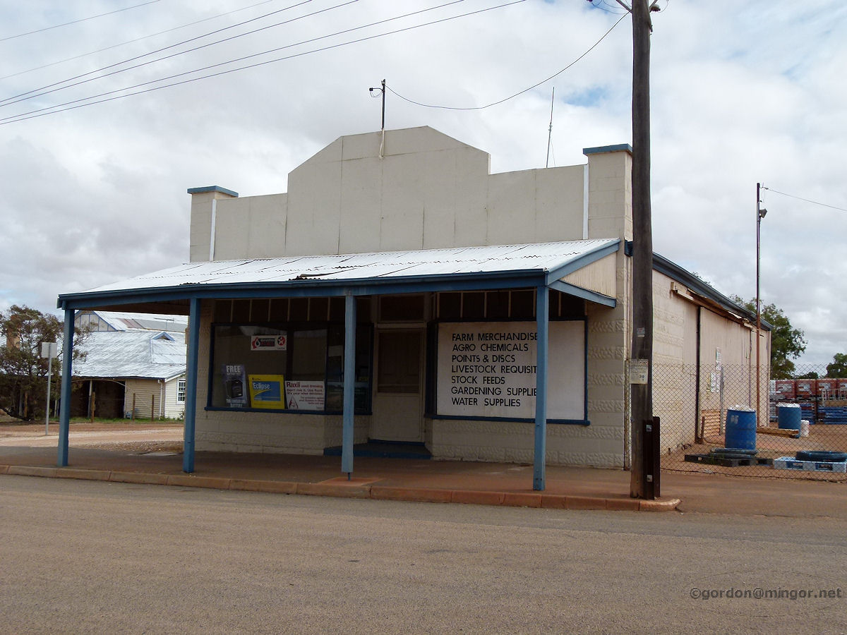 |
Bencubbin - Farm Supplies A farm merchandise business just off the main street. March 2015. Photos Ref: BENC019 |
||
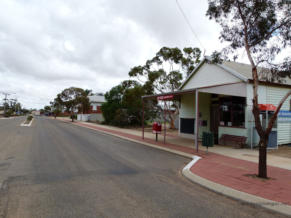 |
Bencubbin - Monger Street A view along Monger Street. In the foreground is the post office. Beyond is the Bank of NSW. Further along is the hotel. March 2015. Photos Ref: BENC020 |
||
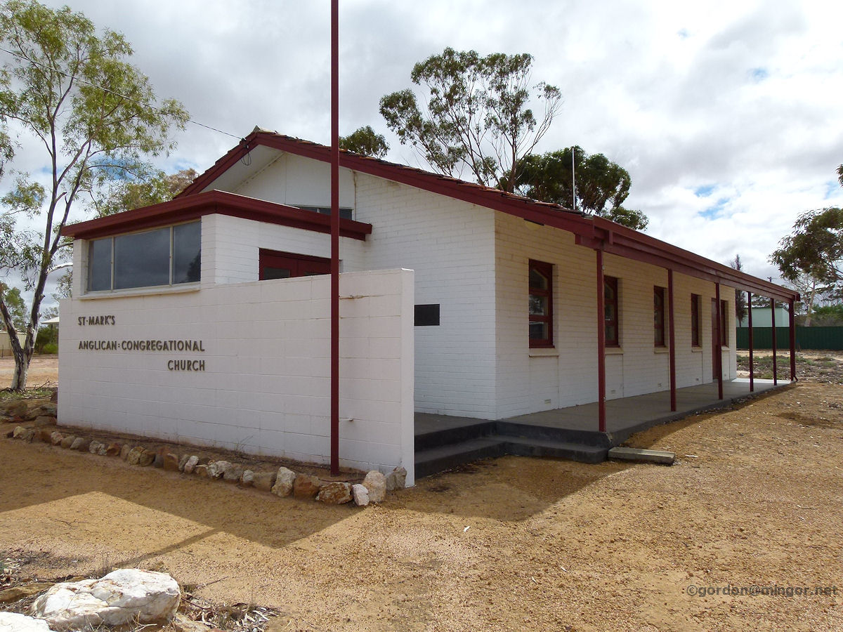 |
Bencubbin - Anglican Church St Mark's Anglican Uniting Church. A plaque on the church was unveiled on November 13th, 1968 to commemorate the commencement of construction. At that time the church was known as St Mark's Anglican - Congregational Church. March 2015. Photos Ref: BENC021 |
||
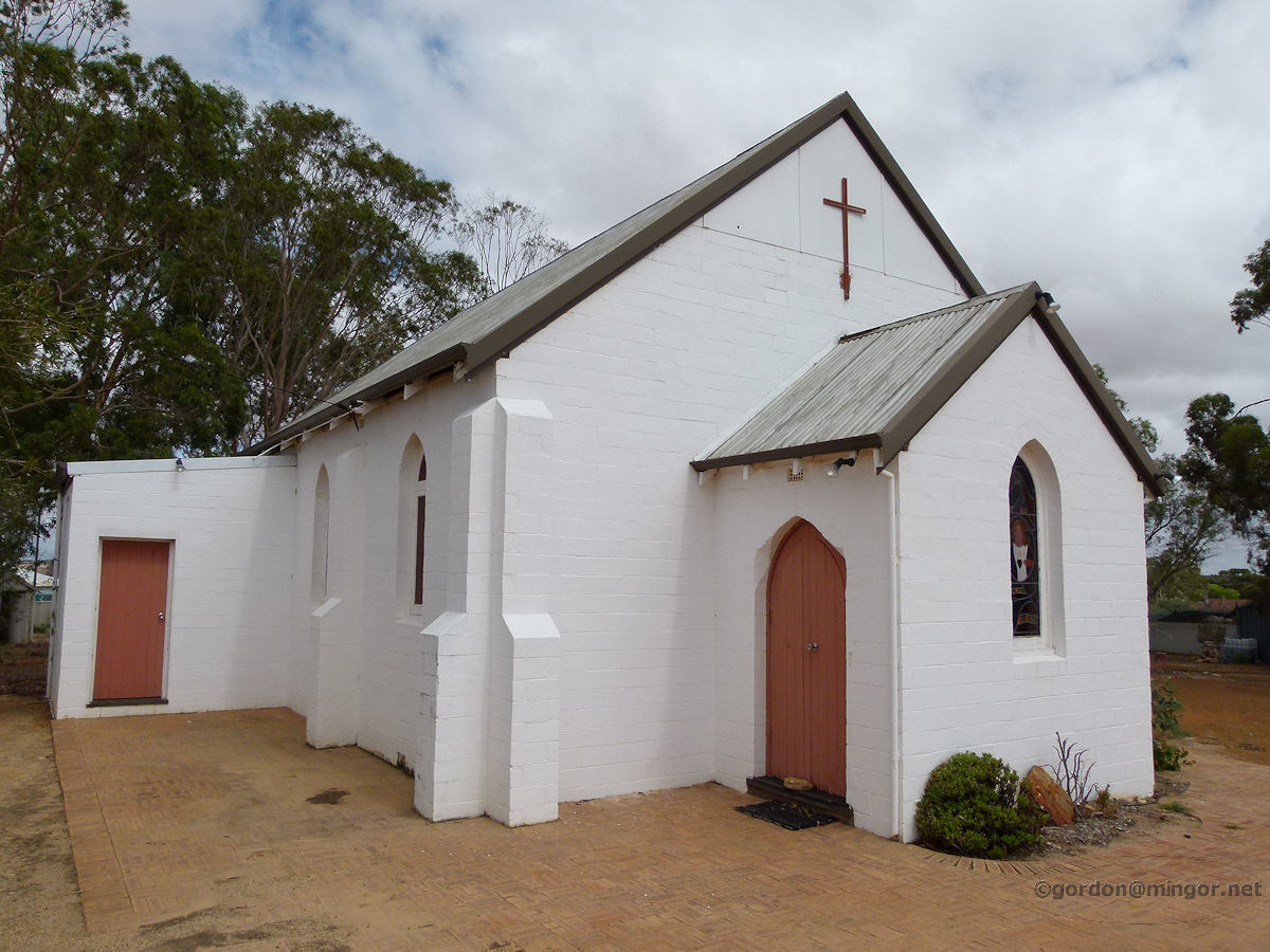 |
Bencubbin - Catholic Church Sacred Heart Roman Catholic Church. The church was constructed in 1935. There is no foundation stone on or in the building. March 2015. Photos Ref: BENC022 |
||
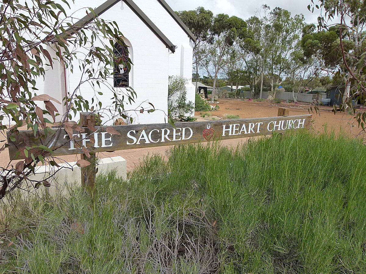 |
Bencubbin - Catholic Church The Sacred Heart Roman Catholic Church sign and the Church behind the tree. March 2015. Photos Ref: BENC023 |
||
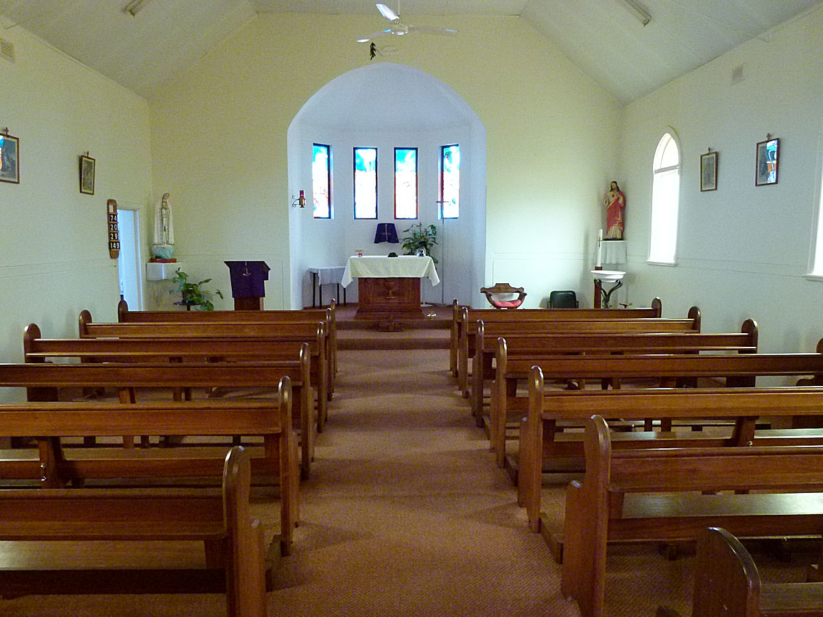 |
Bencubbin - Catholic Church A look inside the Sacred Heart Roman Catholic Church.. March 2015. Photos Ref: BENC024 |
||
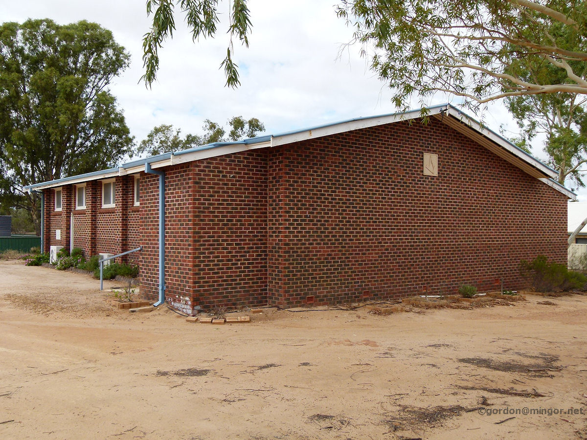 |
Bencubbin - Masonic Hall This is the Masonic Lodge W.A.C. No. 330. It was erected in 1958. March 2015. Photos Ref: BENC025 |
||
All images published on this website are copyright © of the webmaster. See About section for clarification and special schools permission |
|||