| Photographs of Perth, Western Australia | |||
Jerramungup - Photographs of Western Australia Jerramungup is a small town located on the road connecting the Great Southern district to Esperance and beyond. It is 450 kilometres south-east of Perth and is a refuelling and stopping place for travellers. The town was gazetted in 1957. Surveyor Septimus Roe was in the area over one hundred years earlier. The townsite was settled in 1953 as part of the government's War Service Land Settlement scheme for returned servicemen hence the "Soldier Settlement" tag |
|||
| West to Needilup | |||
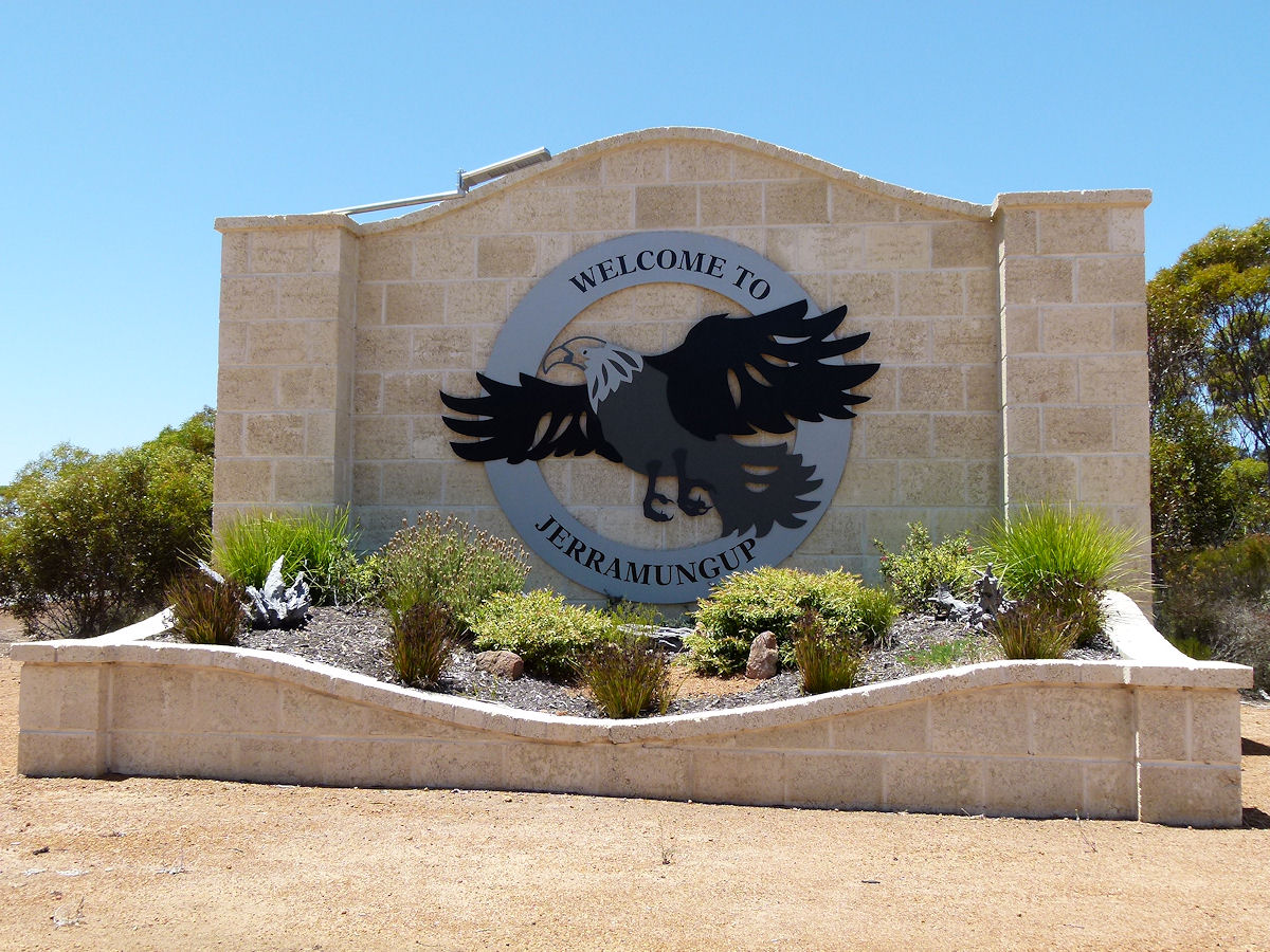 |
Jerramungup - Welcome Sign Welcome to Jerramungup. That is one big sign! December 2016. Photos Ref: JERR001 |
||
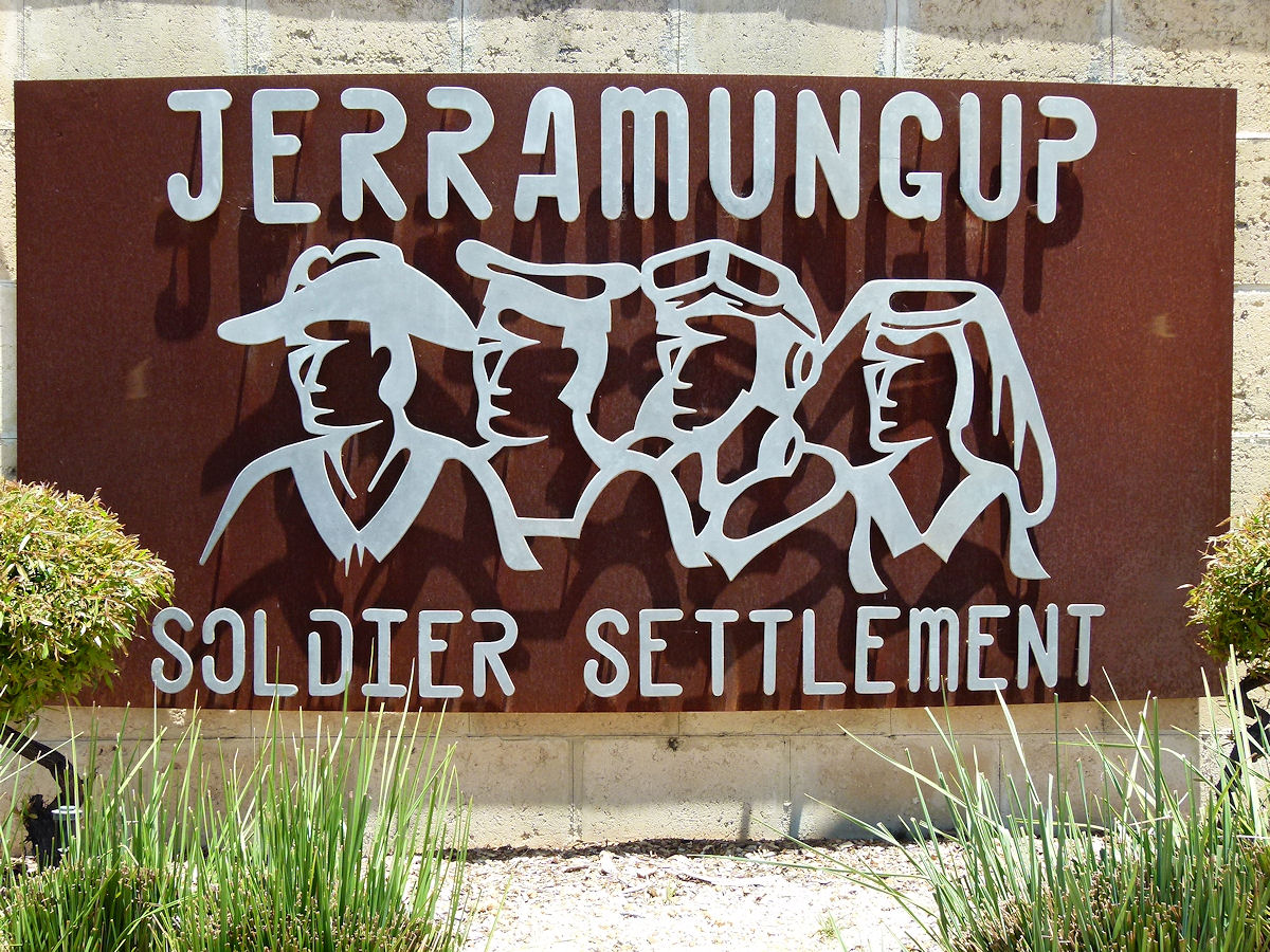 |
Jerramungup - Soldier's Sign Another Jerramungup town sign seen at the eastern end of town. This would refer to the ex-servicemen that settled in this district after World War II as part of the War Service Land Settlement Scheme. December 2016. Photos Ref: JERR002 |
||
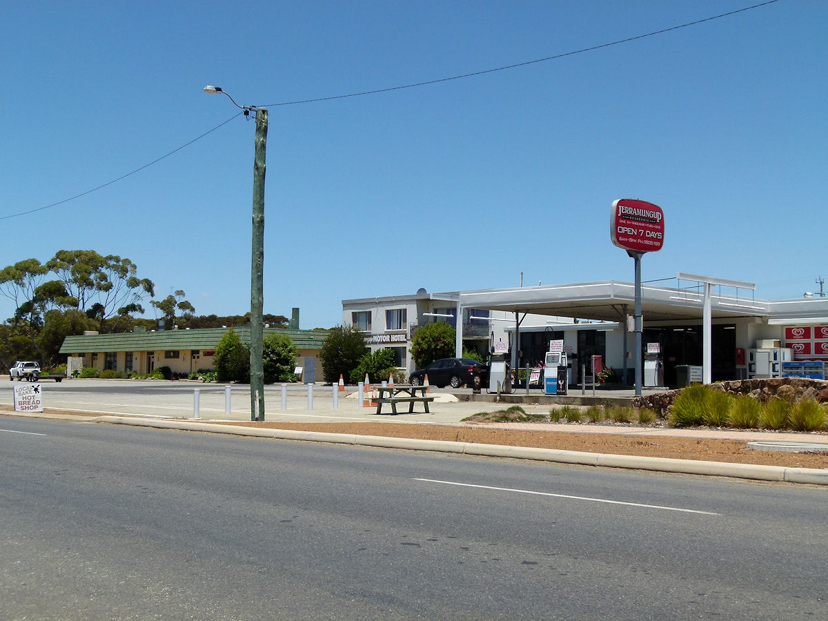 |
Jerramungup - Roadhouse The roadhouse is a focal point in town. Rather than A focal point it is THE focal point. Every traveller would stop here for fuel and sustenance. Locals would call in for their daily necessaries. Next door you can see the motel and hotel. December 2016. Photos Ref: JERR003 |
||
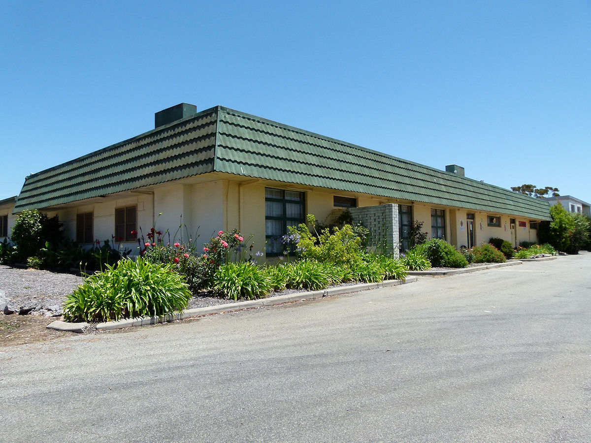 |
Jerramungup - Hotel Since the town was not really established until the 1950's there is nothing here of any historical note. No century-old buildings for example. Here is the hotel. It looks rather 1960's in design. December 2016. Photos Ref: JERR004 |
||
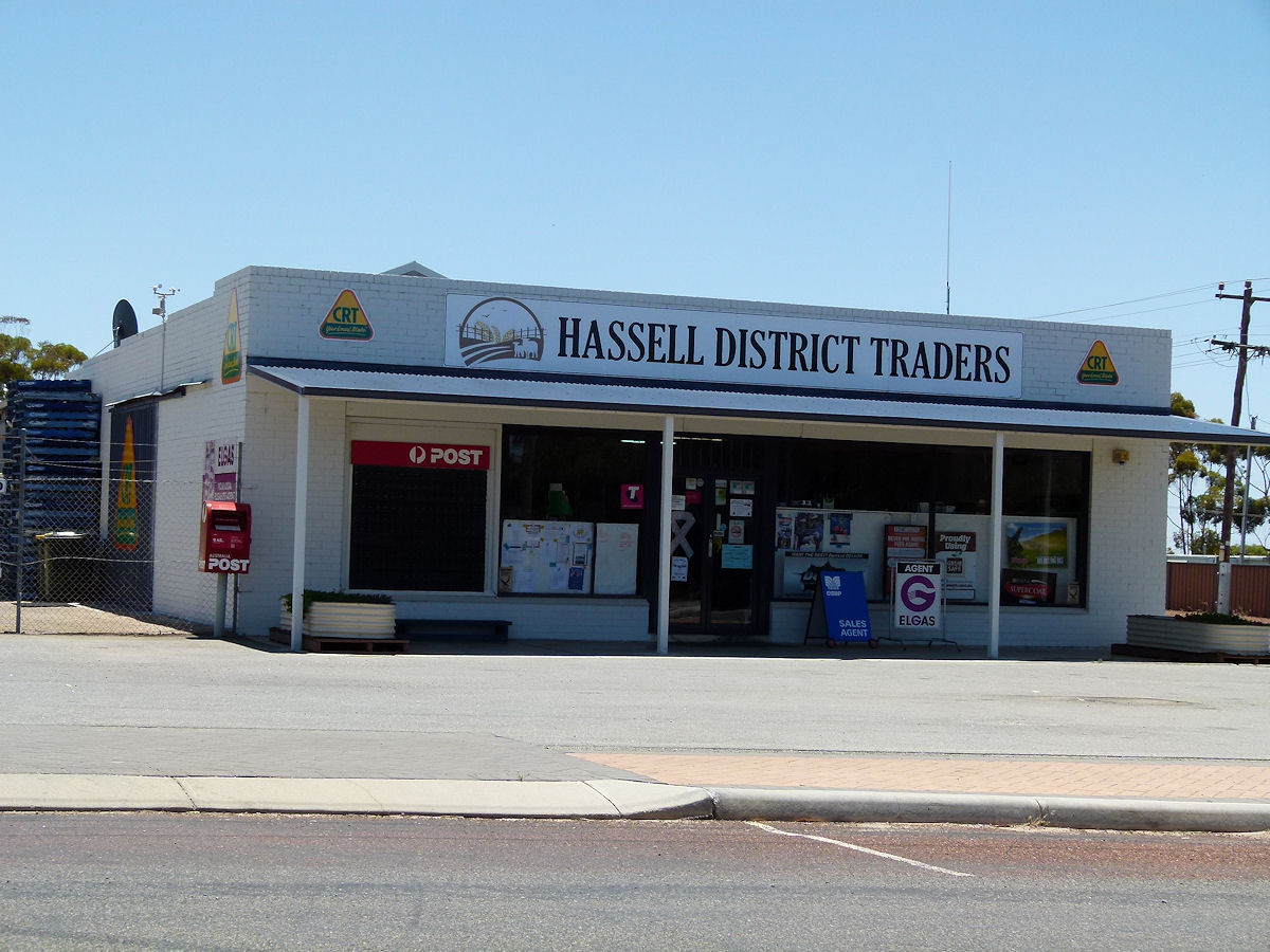 |
Jerramungup - Hassell Traders Hassell District Traders appear for focus on agricultural products. The business also doubles as the local post office. December 2016. Photos Ref: JERR005 |
||
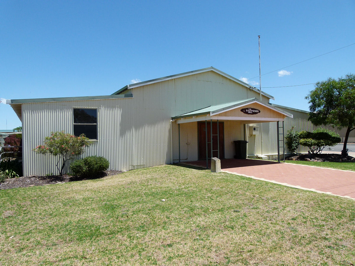 |
Jerramungup - Hall The Jerramungup Town Hall was opened in 1958. The hall was re-named the Rootpickers Hall in 2001 in recognition of community volunteers. December 2016. Photos Ref: JERR006 |
||
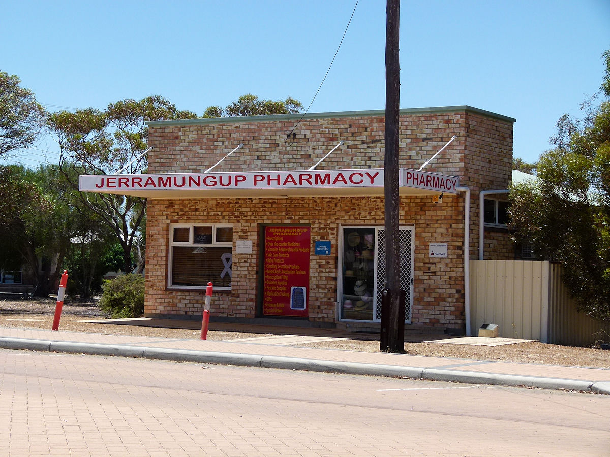 |
Jerramungup - Pharmacy Over near the hall but all on its own is the Jerramungup Pharmacy. December 2016. Photos Ref: JERR007 |
||
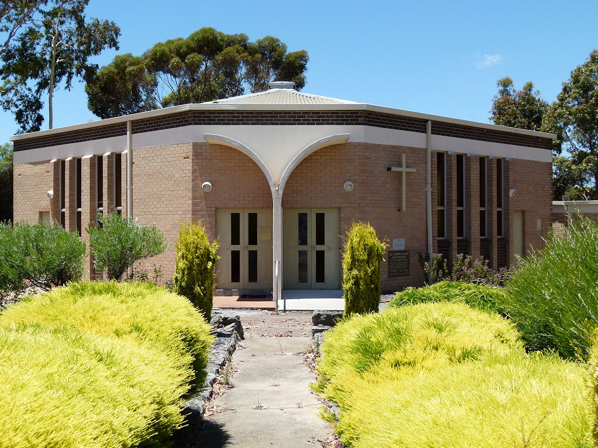 |
Jerramungup - Church All Saints Anglican Church Jerramungup. The Foundation Stone was laid by Hon. L. A. Logan MLC, on November 10th 1967. The building was officially opened on June 8th, 1969 by the Governor Sir Douglas Kendrew. December 2016. Photos Ref: JERR008 |
||
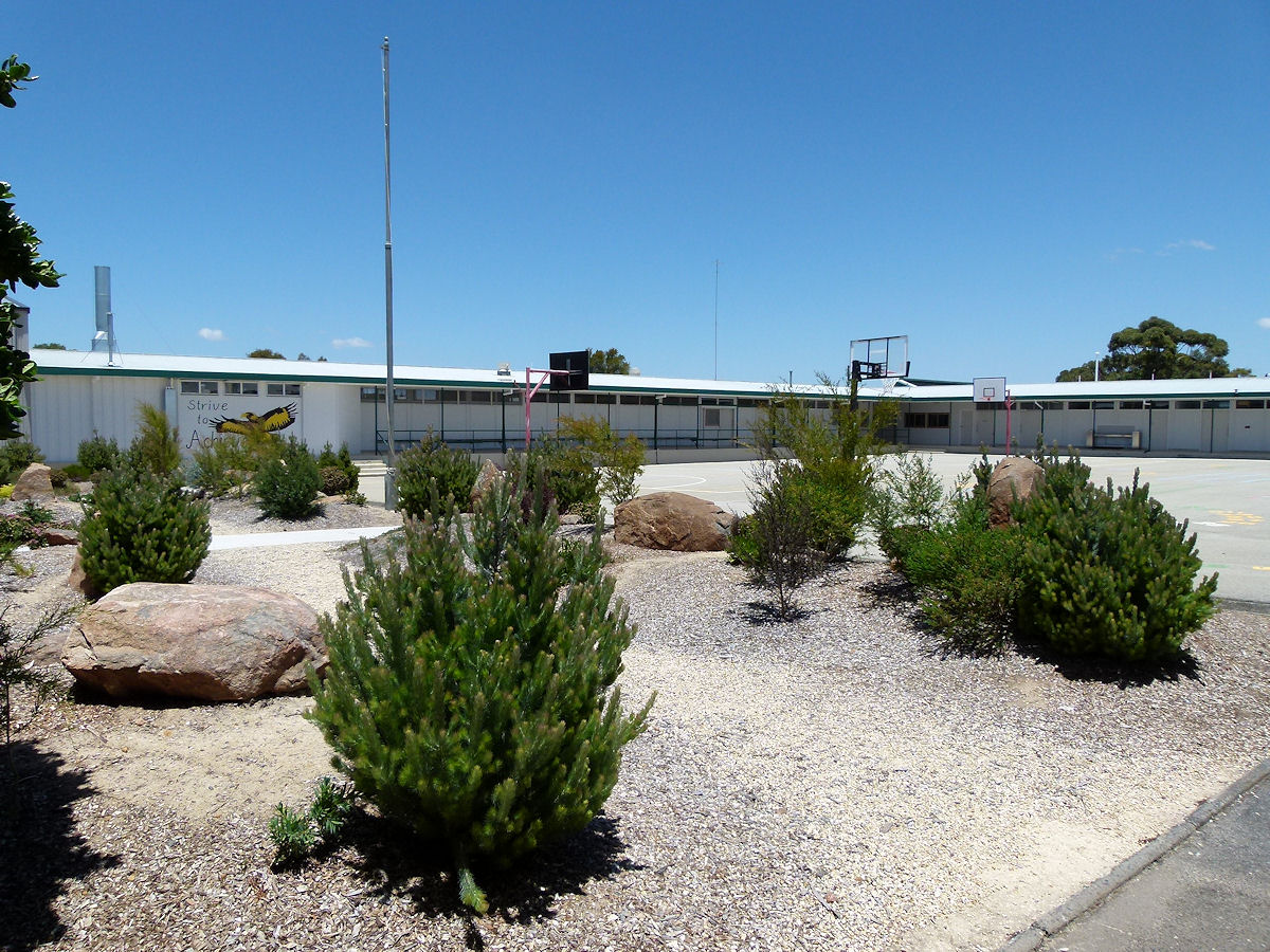 |
Jerramungup - High School The spacious and clean high school now all closed after the end of Term 4, 2016. December 2016. Photos Ref: JERR009 |
||
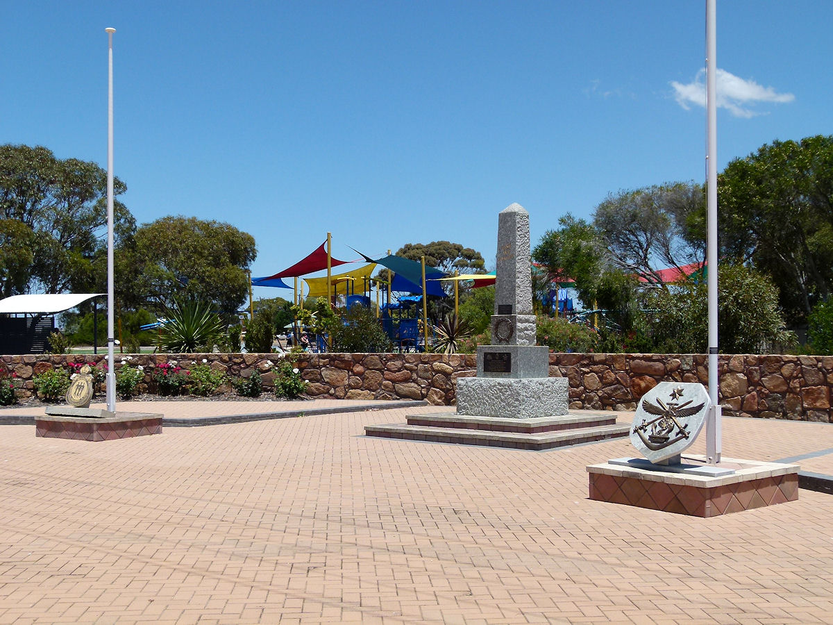 |
Jerramungup - War Memorial Close to the school is the war memorial. December 2016. Photos Ref: JERR010 |
||
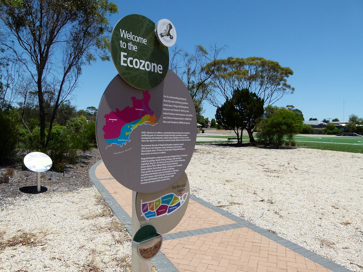 |
Jerramungup - Ecozone Ecozone is a name seen commonly in this district and others. This one relates to the Fitzgerald Biosphere Reserve, a listing by UNESCO. It's all about trying to create and maintain a sustainable relationship with humanity and the environment. This Ecozone takes in Jerramungup, Ravensthorpe, Bremer Bay and Hopetoun. December 2016. Photos Ref: JERR011 |
||
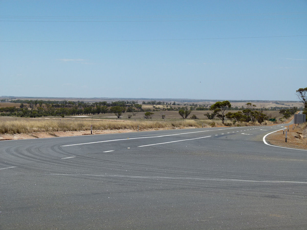 |
Jerramungup - The Road East Looking east out from the roadhouse. That's the road to Ravensthorpe and Esperance. December 2016. Photos Ref: JERR012 |
||
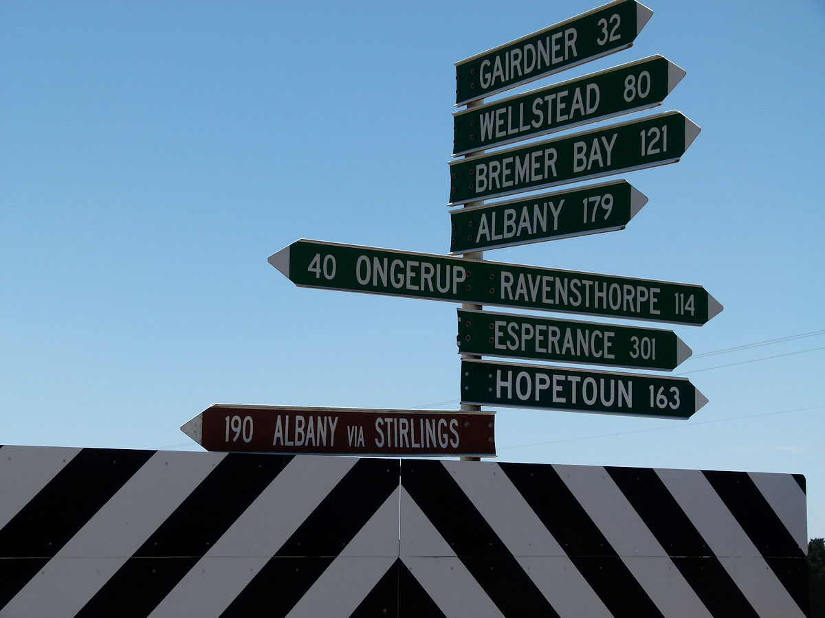 |
Jerramungup - Signpost This signpost may give you an idea of the location of Jerramungup. December 2016. Photos Ref: JERR013 |
||
All images published on this website are copyright © of the webmaster. See About section for clarification and special schools permission |
|||