| Photographs of Perth, Western Australia | |||
Karrinyup - Photographs of Western Australia Karrinyup is a suburb of Perth located east of Trigg and North Beach, north of Doubleview, and south of Carine. It is approx. 12 kms north-west of Perth City centre. Back in the 1840's, the northern part of this area was known as "Moore's Grant", after Samuel Moore who then owned 780 acres there. Surveyor P. Chauncey named the local swamp Careniup Swamp in 1844. Following the establishment of the golf course in 1920, Careniup was changed to Karrinyup |
|||
| North to Carine | East to Nollamara | ||
| West to Trigg | |||
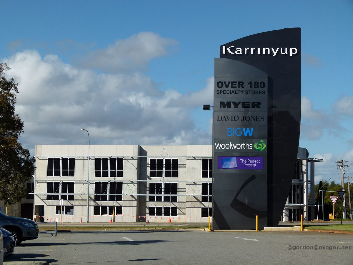 |
Karrinyup - Shopping Centre Alongside Karrinyup Road this sign proclaims the location of the Karrinyup Shopping Centre. The building behind is a new one and not part of the centre. The Karrinyup Shopping Centre was constructed in 1972. The shopping centre itself is too large to effectively photograph. May 2014. Photos Ref: KARR001 |
||
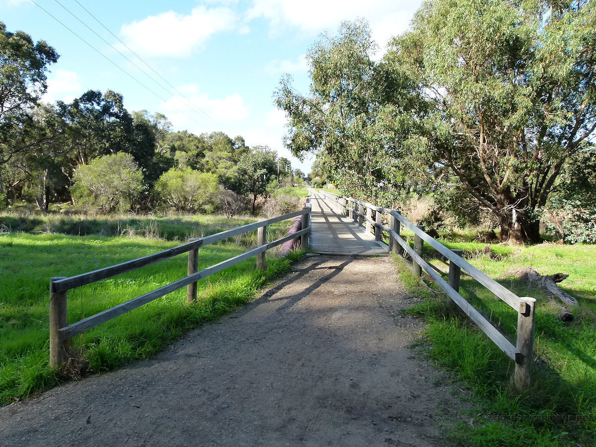 |
Karrinyup - Lake Bridge A wooden bridge spans a small lake which is just to the south of Lake Karrinyup. Lake Karrinyup itself is not easily accessible as it is within the Lake Karrinyup Country Club grounds. The bridge serves to connect Pascoe and Porter Streets for pedestrians. May 2014. Photos Ref: KARR002 |
||
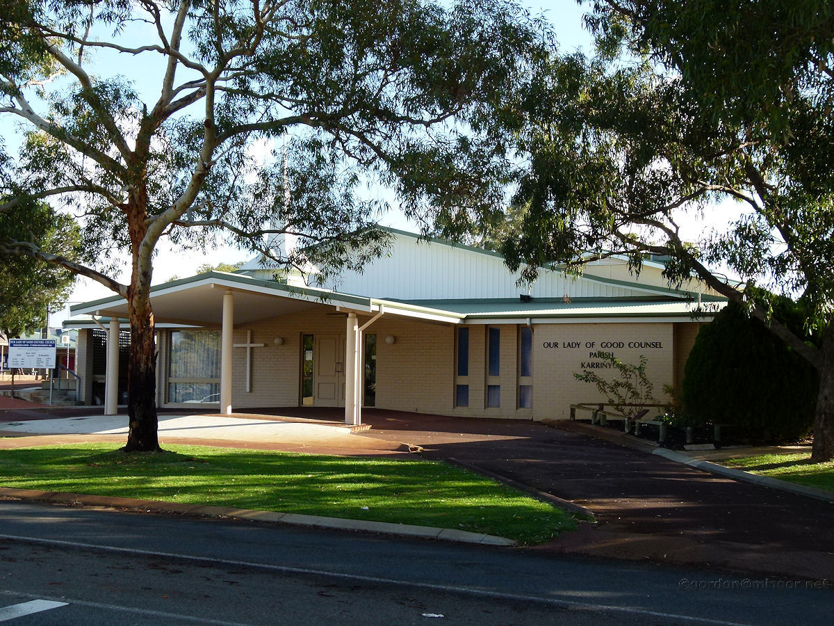 |
Karrinyup - Catholic Church Our Lady of Good Counsel Church on Miles Street. The church is in the same grounds as the primary school which bears the same name. May 2014. Photos Ref: KARR003 |
||
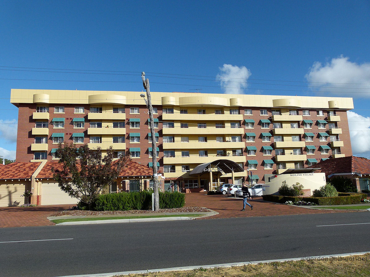 |
Karrinyup - Moline Village Moline Village on Jeanes Road. A building of substance which stands out prominently. The complex is comprised of one and two bedroom apartments and some three-bedroom villas. These are retirement homes. Moline Village is operated by Amana Living which is part of the Anglican community. May 2014. Photos Ref: KARR004 |
||
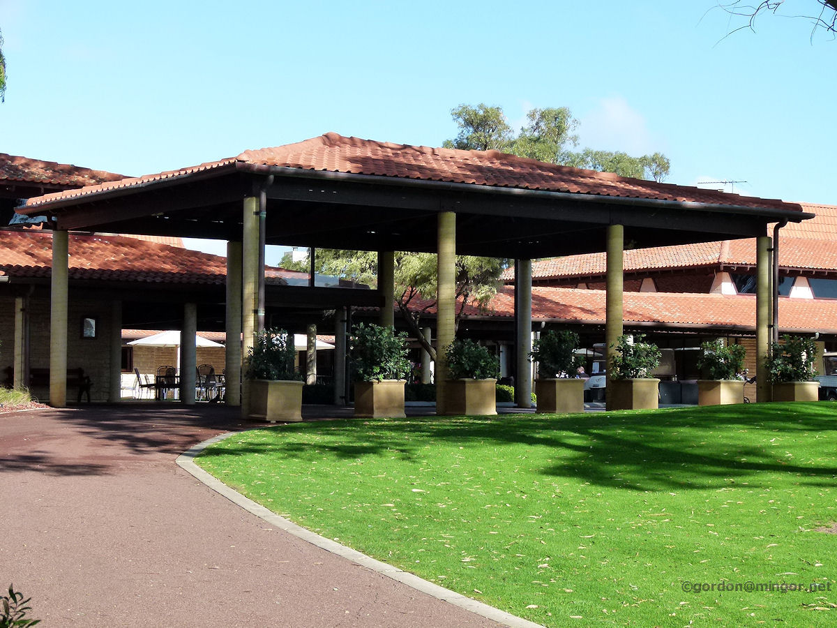 |
Karrinyup - Country Club The Lake Karrinyup Country Club main entrance off North Beach Road. This is probably the best known and premier golf club in Western Australia. Many important tournaments are hosted here. This is a private club and membership is usually by invitation although applications may be considered. May 2014. Photos Ref: KARR005 |
||
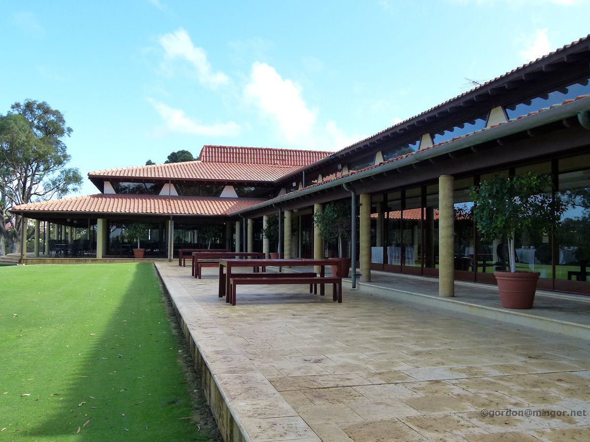 |
Karrinyup - Country Club Part of the rear of the Lake Karrinyup Country Club. Overlooking finely manicured grass and down a couple of fairways, this is a dining and function room. May 2014. Photos Ref: KARR006 |
||
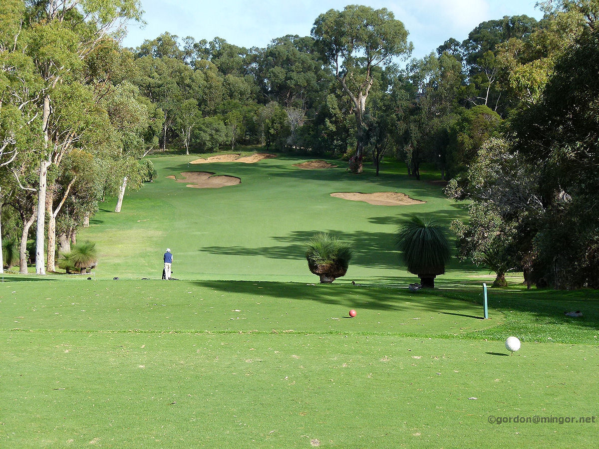 |
Karrinyup - Country Club A look down one of the fairways which can be seen from the dining and function room at the rear of the club house. May 2014. Photos Ref: KARR007 |
||
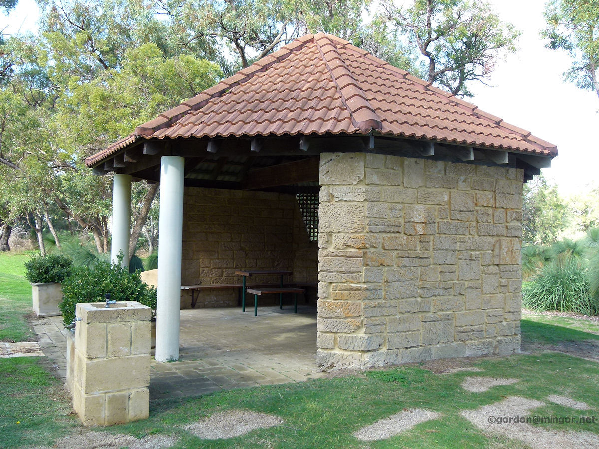 |
Karrinyup - Country Club To one side of the club rooms are some tennis courts. This building provides some shelter for players from the heat of summer or the rain of winter. May 2014. Photos Ref: KARR008 |
||
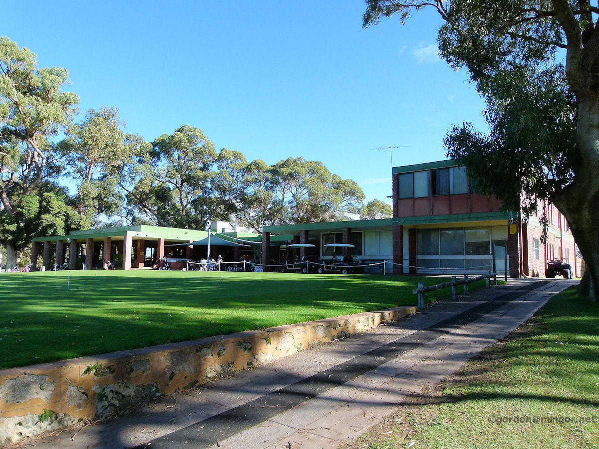 |
Karrinyup - Hamersley Golf Course Off Marmion Avenue is the Hamersley Public Golf Course. Here is a view of the clubhouse, incorporating a golf shop, a snack bar, an outside dining or resting area, and the Gleneagles Reception Centre. May 2014. Photos Ref: KARR009 |
||
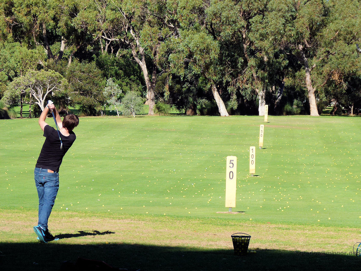 |
Karrinyup - Hamersley Golf Course A telescopic view looking down the driving range at Hamersley. May 2014. Photos Ref: KARR010 |
||
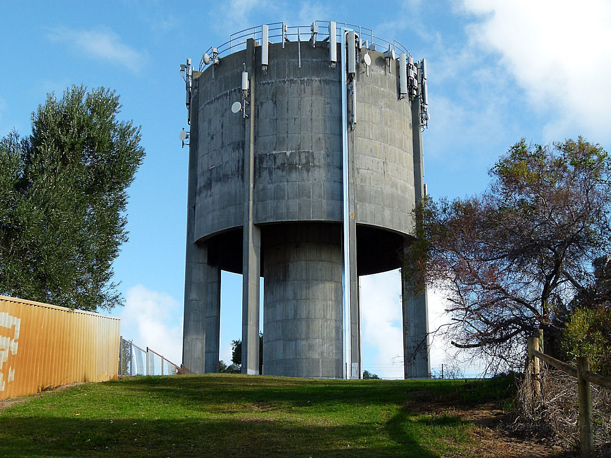 |
Karrinyup - Water Tower The highest point in Karrinyup is within the Trigg Bushland Reserve, south of Karrinyup Road, opposite the bus depot and shopping complex. What better place to build the gravity fed water reservoir? May 2014. Photos Ref: KARR011 |
||
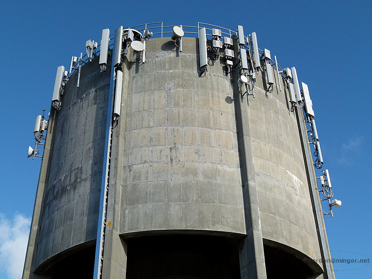 |
Karrinyup - Water Tower Looking atop the water tower. Practical use is made of the tower's elevation through the installation of quite a vast array of telecommunications transmitters and receivers and the like. May 2014. Photos Ref: KARR012 |
||
All images published on this website are copyright © of the webmaster. See About section for clarification and special schools permission |
|||