| Photographs of Perth, Western Australia | |||
Kojonup - Photographs of Western Australia The town of Kojonup is situated in the Great Southern region, on the Albany Highway, 256 kms south-east of Perth. In 1837 a military outpost was established here. The area was selected for a townsite in 1840. The name Kojonup comes from the nearby Kojonup Spring which is of Aboriginal origin. The town is an important pastoral centre. A rail line opened in 1907 from Boyup Brook to Katanning passed through here. Poor economies closed the line in 1982 |
|||
| North to Arthur River | South to Cranbrook | ||
| West to Dinninup | East to Katanning | ||
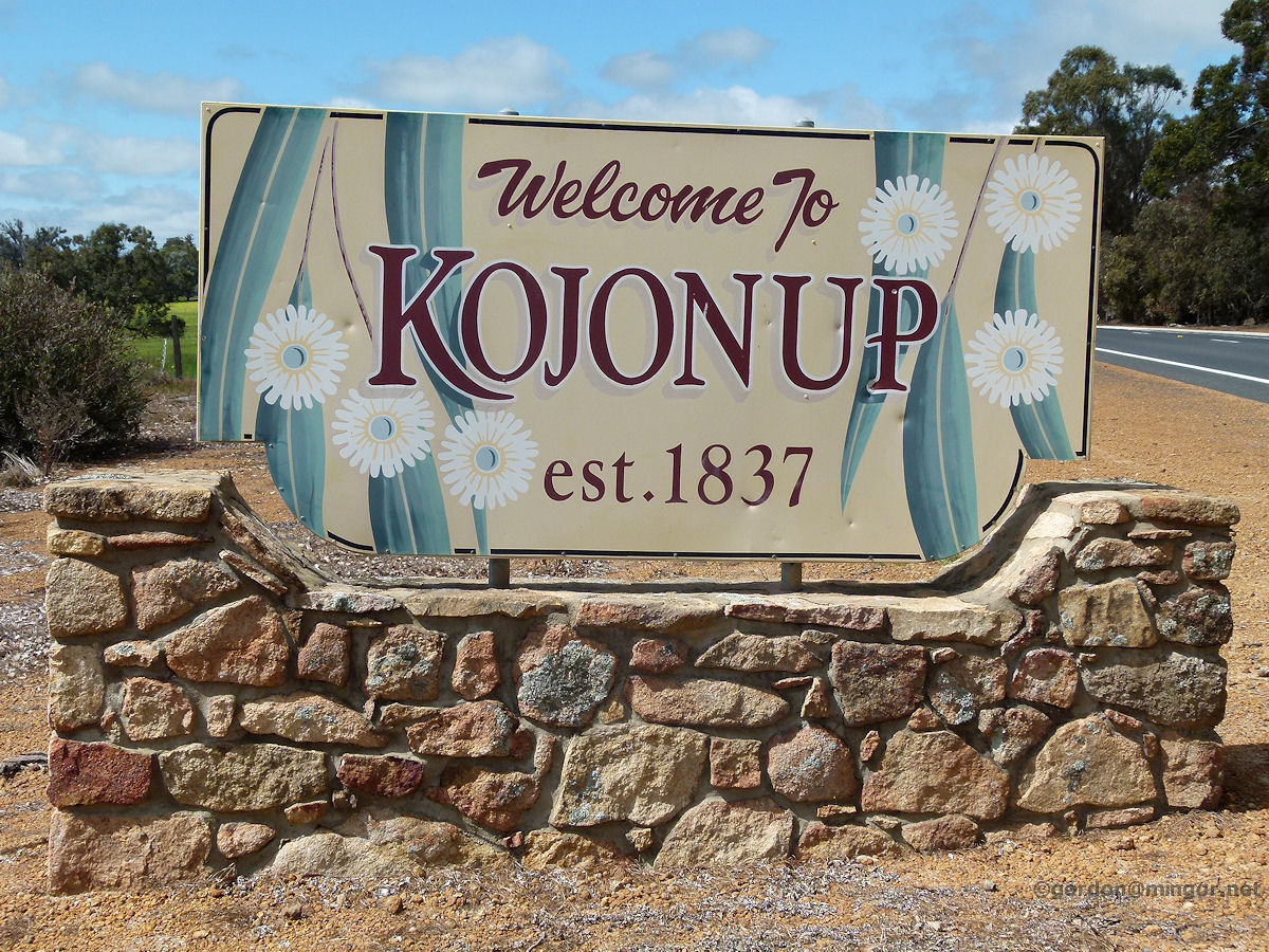 |
Kojonup - Welcome Sign The road-side welcome side on the northern side of town. Kojonup was established in 1937. October 2014. Photos Ref: KJNP001 |
||
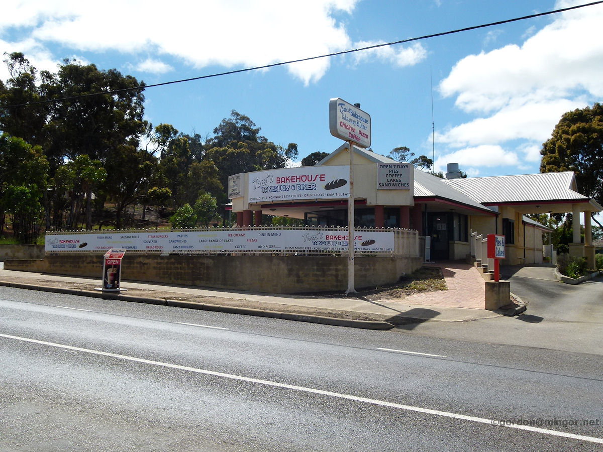 |
Kojonup - Tom's Bakehouse Tom's Bakehouse, takeaway and diner, at the northern end of town, next door to the hotel. October 2014. Photos Ref: KJNP002 |
||
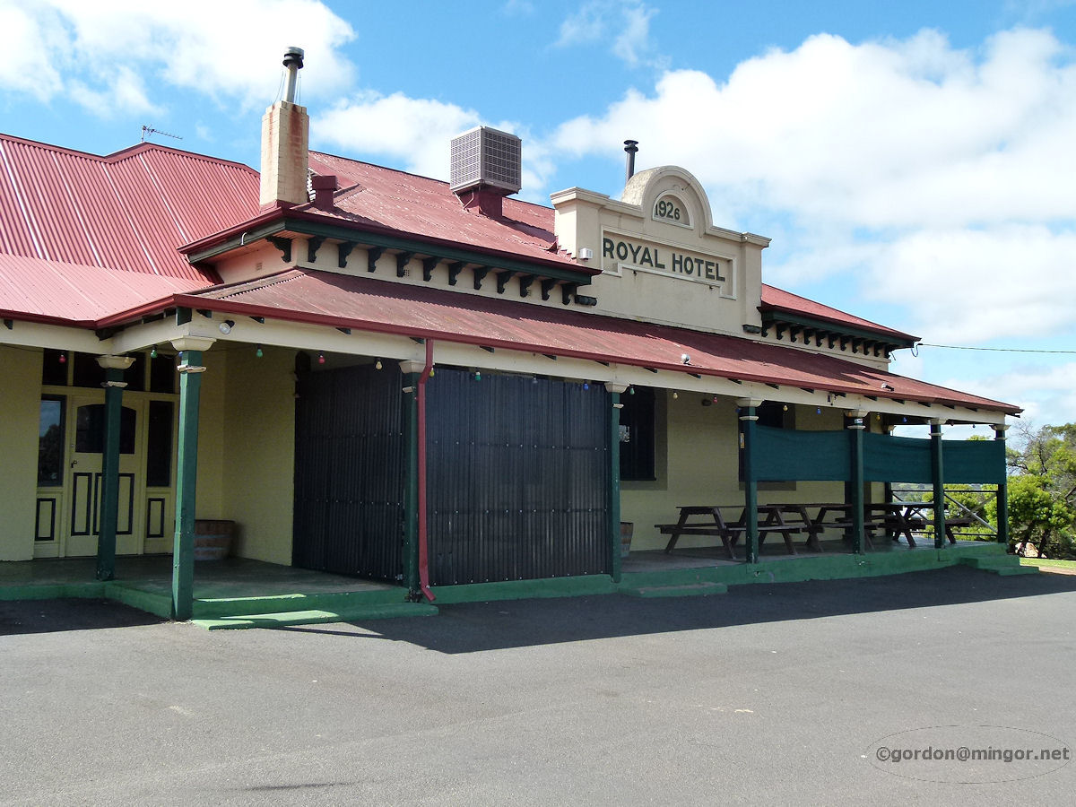 |
Kojonup - Royal Hotel The sturdy Kojonup Hotel which was established in 1926. October 2014. Photos Ref: KJNP003 |
||
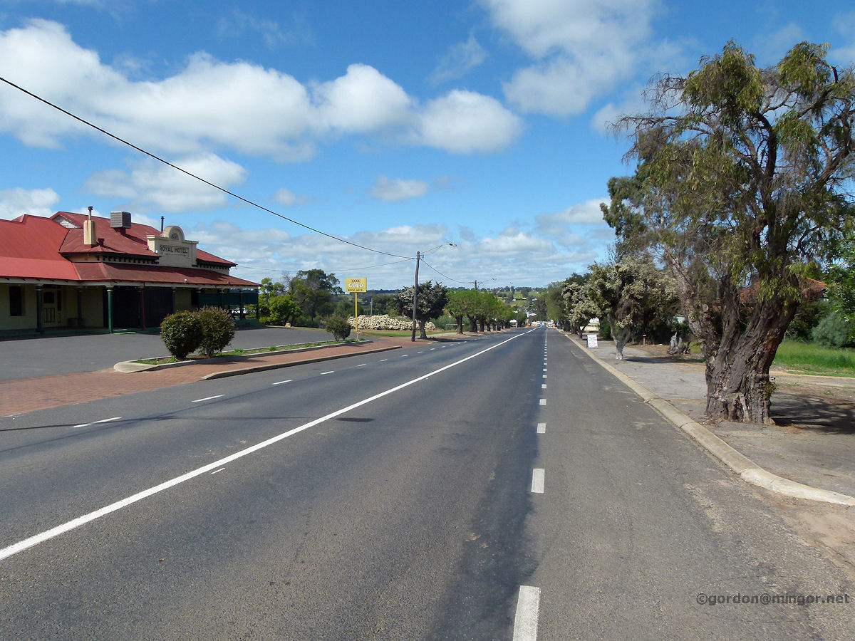 |
Kojonup - Highway A view looking south down the Albany Highway. To the left is the Royal Hotel. October 2014. Photos Ref: KJNP004 |
||
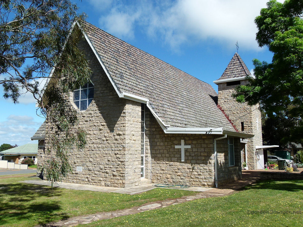 |
Kojonup - Anglican Church St Mary's Anglican Church, Kojonup. The Foundation Stone was laid by Brigadier A. W. Potts on 28th September, 1958 (+ Ralph Bunbury). October 2014. Photos Ref: KJNP005 |
||
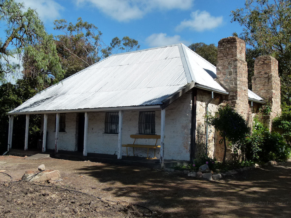 |
Kojonup - Early School This is part of a complex towards the northern end of town known as the Barracks as the large, former barracks building is here. The pictured building was constructed in 1863 and was used as a school in 1894. After that, it was used as a school teacher's residence. October 2014. Photos Ref: KJNP006 |
||
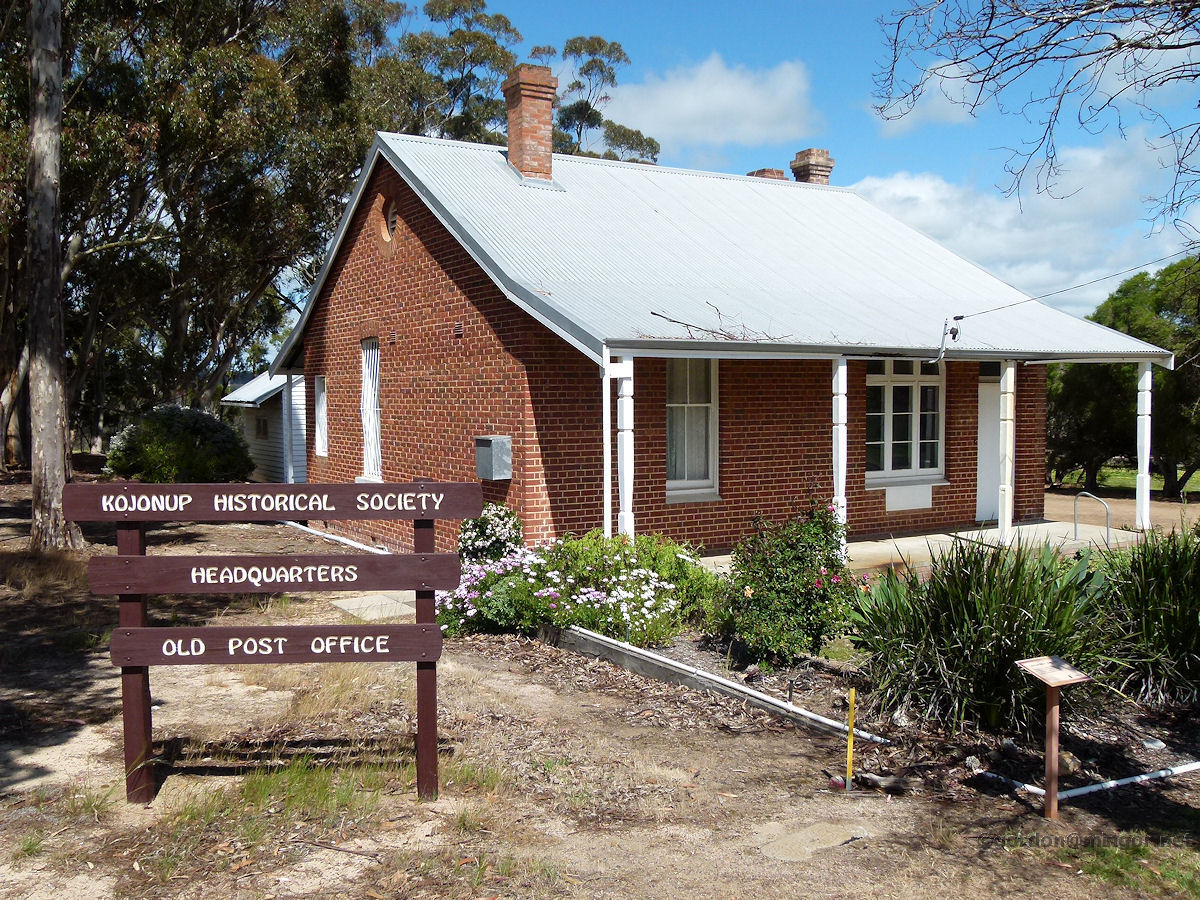 |
Kojonup - First Post Office The headquarters of the Kojonup Historical Society. This building was constructed as the town's post office in 1897. It later became the headmaster's house, probably after the construction of the current post office was completed in 1913. October 2014. Photos Ref: KJNP007 |
||
 |
Kojonup - Current Post Office The current post office which is still functioning as such. This was erected in 1913. The building used to have a residence and a telephone exchange building attached. October 2014. Photos Ref: KJNP008 |
||
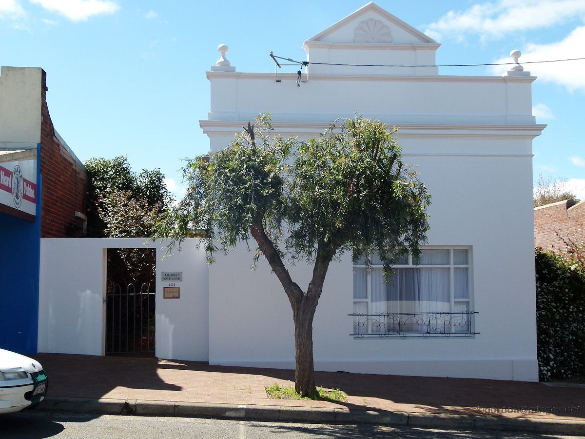 |
Kojonup - Road Board Building On Albany Highway is the former Road Board Building. It was built in 1909. The original red bricks have been rendered. The building operated as the Road Board until 1929 after which it was used as the Agricultural Bank then later Bill Thring's General Store. The Kojonup Women's Club Inc. is the current occupant. October 2014. Photos Ref: KJNP009 |
||
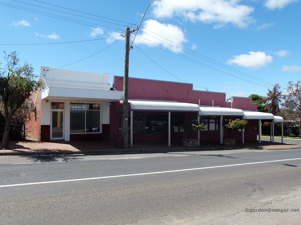 |
Kojonup - Row of Shops A row of old shops on the eastern side of the highway. One or two look unoccupied. Pascoe Partners occupies the one second from the left. October 2014. Photos Ref: KJNP010 |
||
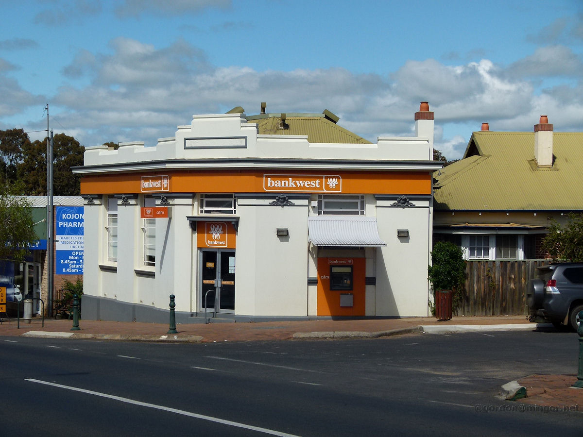 |
Kojonup - Bank West The local Bank West building looks of 1930's vintage. October 2014. Photos Ref: KJNP011 |
||
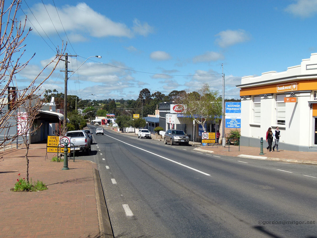 |
Kojonup - Highway A view looking south along Albany Highway from near the post office. Visible is Bank West and the Commercial Hotel off in the distance. October 2014. Photos Ref: KJNP012 |
||
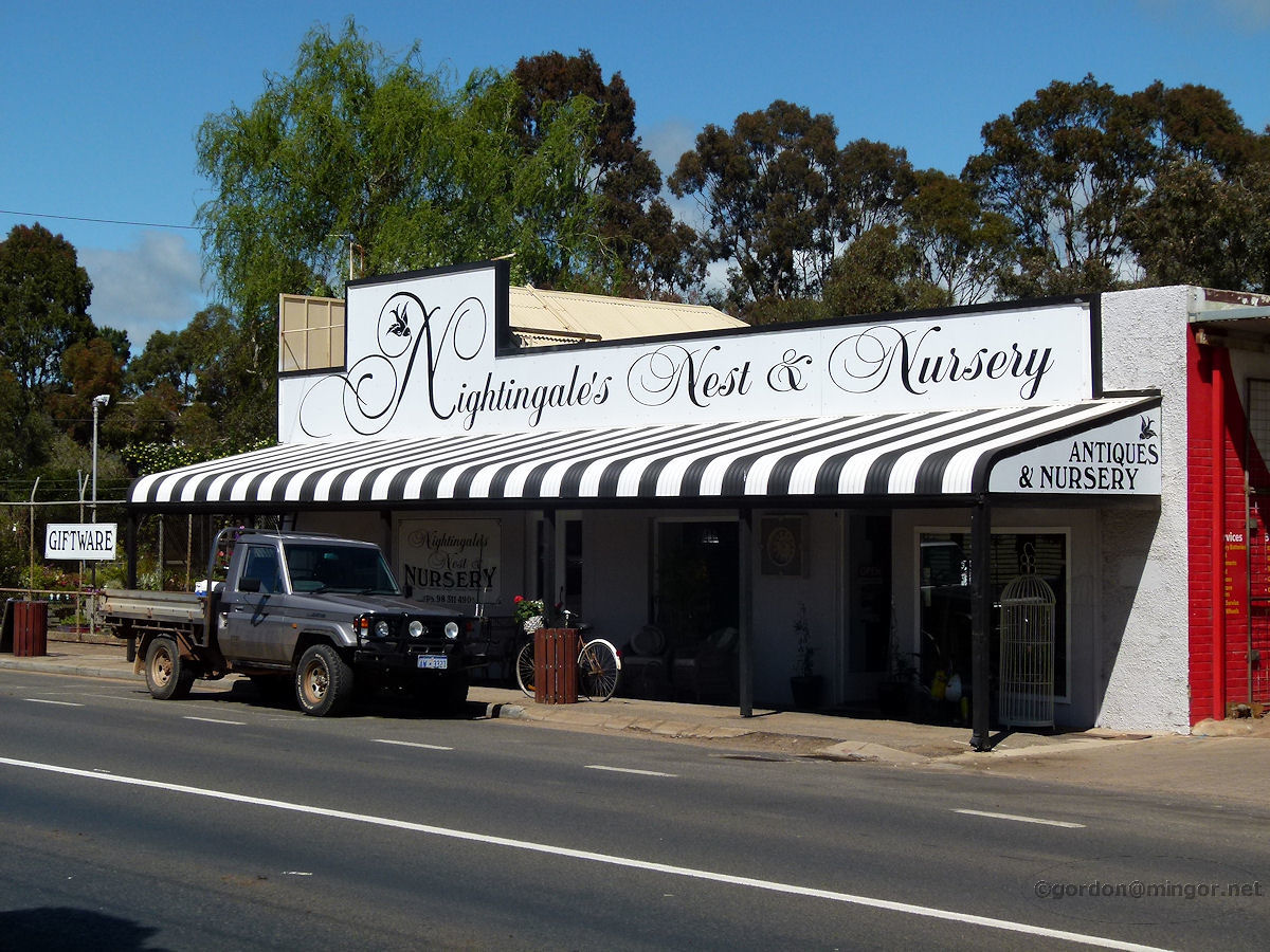 |
Kojonup - Nightingales Nightingales Nest and Nursery, retailers of giftware, antiques and nursery products. October 2014. Photos Ref: KJNP013 |
||
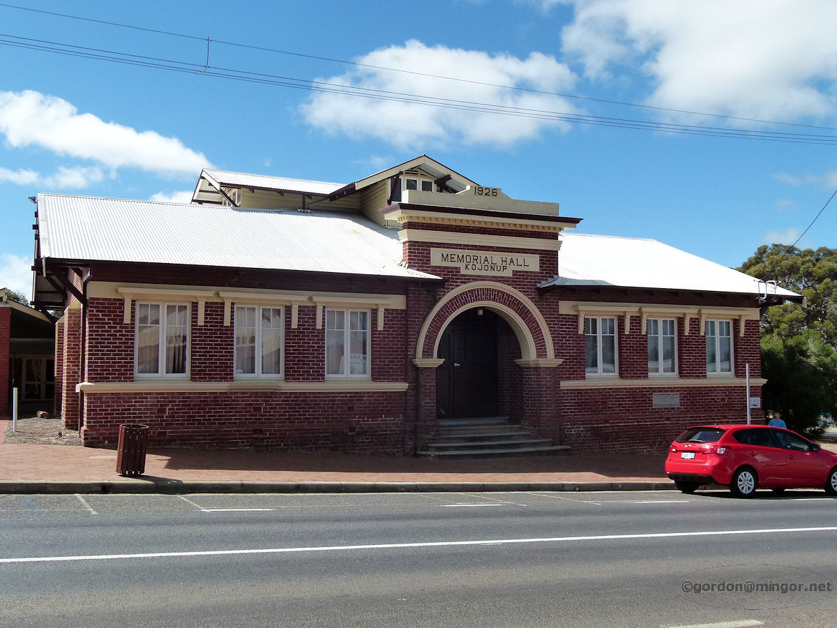 |
Kojonup - Memorial Hall The Memorial Hall on Albany Highway. This was constructed largely through the efforts of the RSL. The Foundation Stone was laid by J. G. Finlay Esq., J.P., of the Kojonup branch of the RSL, on 11th November, 1925. The building was officially opened by Major-General Sir J. J. Talbot-Hobbs on 20th August, 1926. October 2014. Photos Ref: KJNP014 |
||
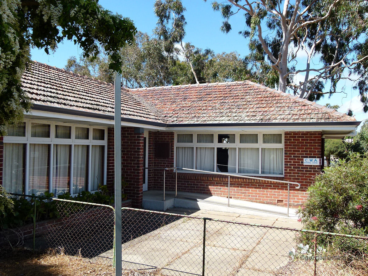 |
Kojonup - CWA The Country Women's Association Memorial Centre. This looks to be a former residence. October 2014. Photos Ref: KJNP015 |
||
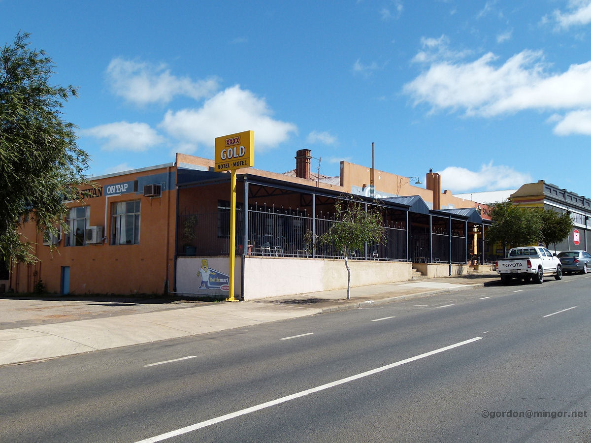 |
Kojonup - Commercial Hotel At the southern end of town is the Commercial Hotel. October 2014. Photos Ref: KJNP016 |
||
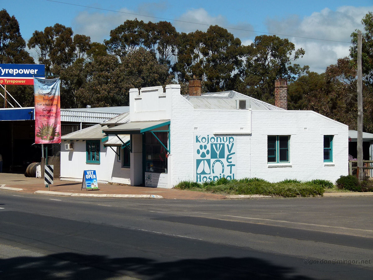 |
Kojonup - Veterinary Clinic The crisp, white lines of the Vet Hospital shine in the sun. This certainly would have been a shop and residence in earlier days. October 2014. Photos Ref: KJNP017 |
||
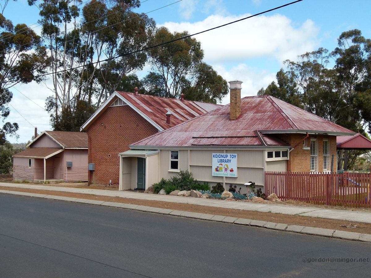 |
Kojonup - Toy Library The Toy Library is on Spring Street. This building was once a school. October 2014. Photos Ref: KJNP018 |
||
 |
Kojonup - School Room Next door to the Toy Library is this building which is more than likely an early school classroom. You can also see it in the above photo. October 2014. Photos Ref: KJNP019 |
||
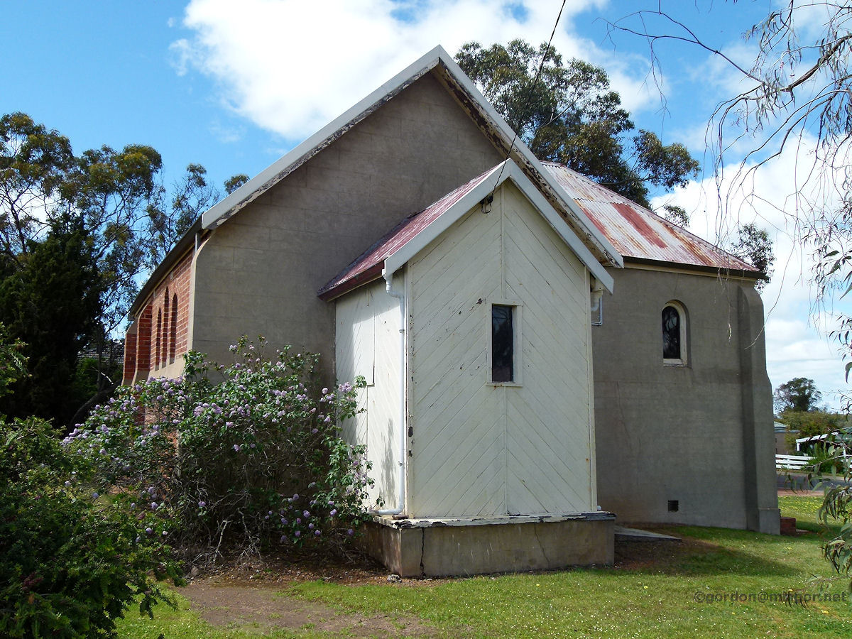 |
Kojonup - Church The denomination of this old church is not displayed, indeed it may no longer be in use as a church. I suspect this may be the predecessor to the 1958 constructed St Mary's Anglican Church. The Foundation Stone on the church was laid by A. E. Piesse, esq, M.L.A., on 25th March, 1911. October 2014. Photos Ref: KJNP020 |
||
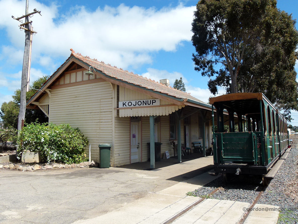 |
Kojonup - Railway Station Great to see the railway station has been preserved. The line from Boyup Brook via Dinninup used to pass through town. It extended east to Katanning and then all the way through to Pingrup. October 2014. Photos Ref: KJNP021 |
||
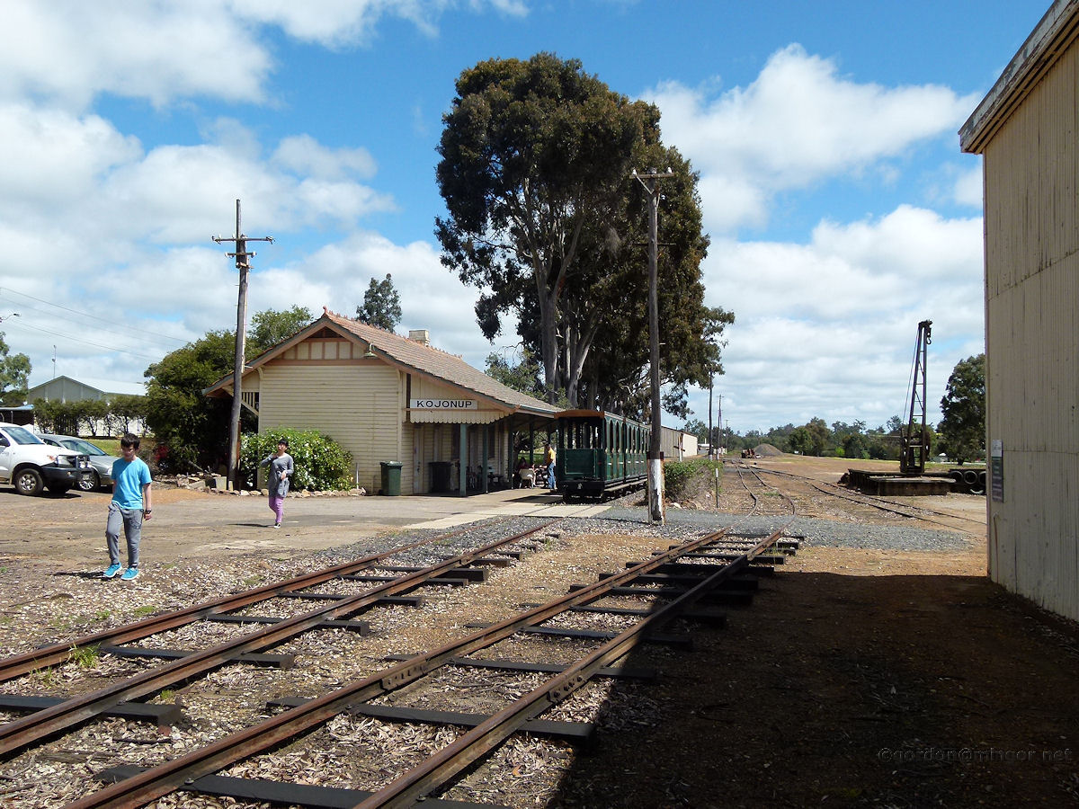 |
Kojonup - Rail Yard A look at the Kojonup rail yard taking in the station and a sliver of the old goods shed. October 2014. Photos Ref: KJNP022 |
||
 |
Kojonup - Station Area A few rail vans and trucks sit in the rail yard. The complete goods shed is visible. The station building is in the background. October 2014. Photos Ref: KJNP023 |
||
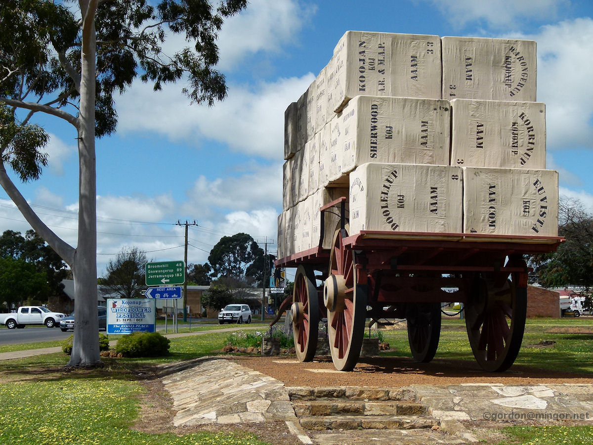 |
Kojonup - Wool Cart Near the rail yards is this very large wagon "laden" with bales of wool. Wool was (and undoubtedly still is) one of the principal agricultural products of the district. October 2014. Photos Ref: KJNP024 |
||
All images published on this website are copyright © of the webmaster. See About section for clarification and special schools permission |
|||