| Photographs of Perth, Western Australia | |||
Mount Pleasant - Photographs of Western Australia Mount Pleasant is a southern suburb which boasts a lot of Canning River frontage from Applecross right down to Mt Henry. Development of the area was slow until the Kwinana Freeway was built in the 1960's which ran from Perth to Canning Bridge. Mount Pleasant gets its name from a property of the same name in the area built in 1911 by early settler Mr James Herbert Simpson. These days this suburb is very attractive due to proximity to the city and the river |
|||
| North to Applecross | South to Murdoch | ||
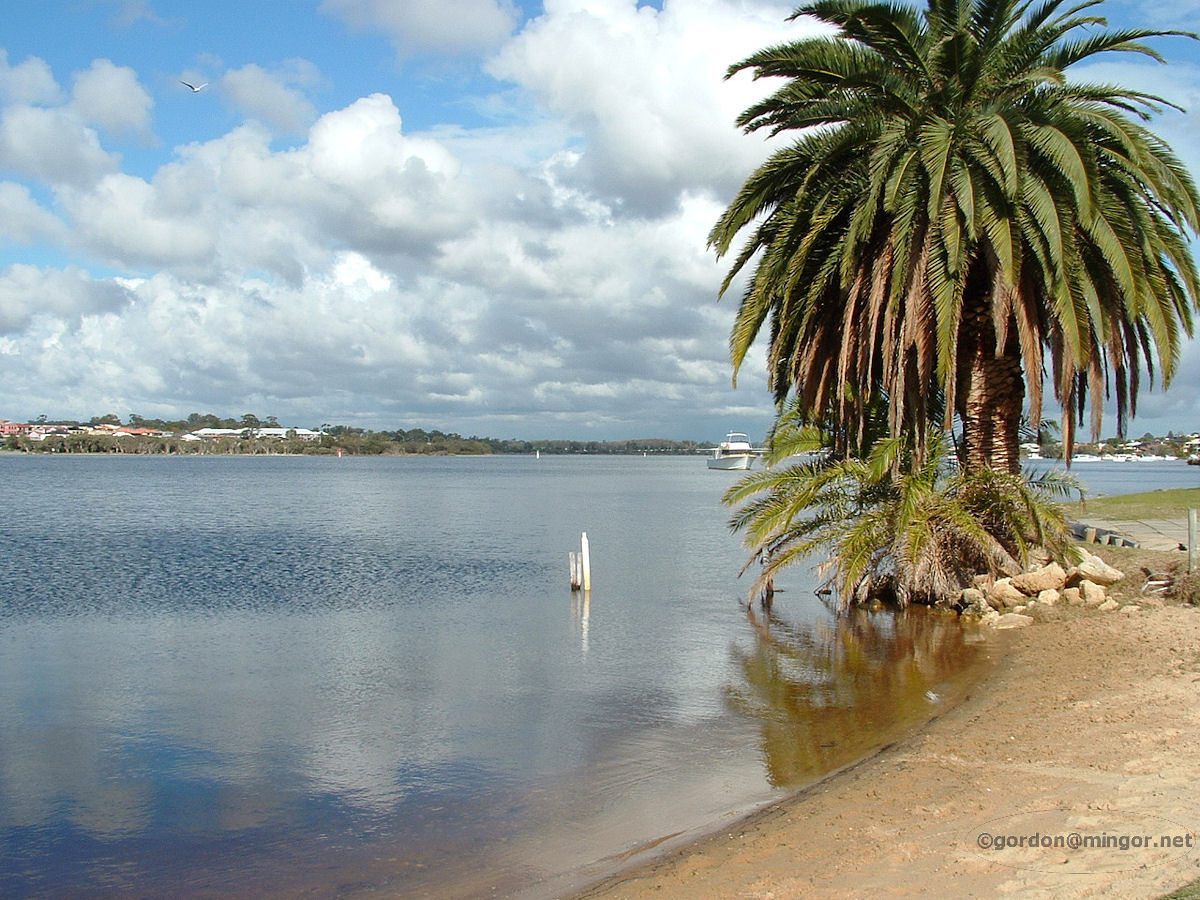 |
Mount Pleasant - Canning River A view down the Canning River. This is taken from the west side of the river on The Esplanade looking south. The Mount Henry Bridge can be glimpsed over there in the distance, behind the boat. Photograph July 2010. Photos Ref: MTPL001 |
||
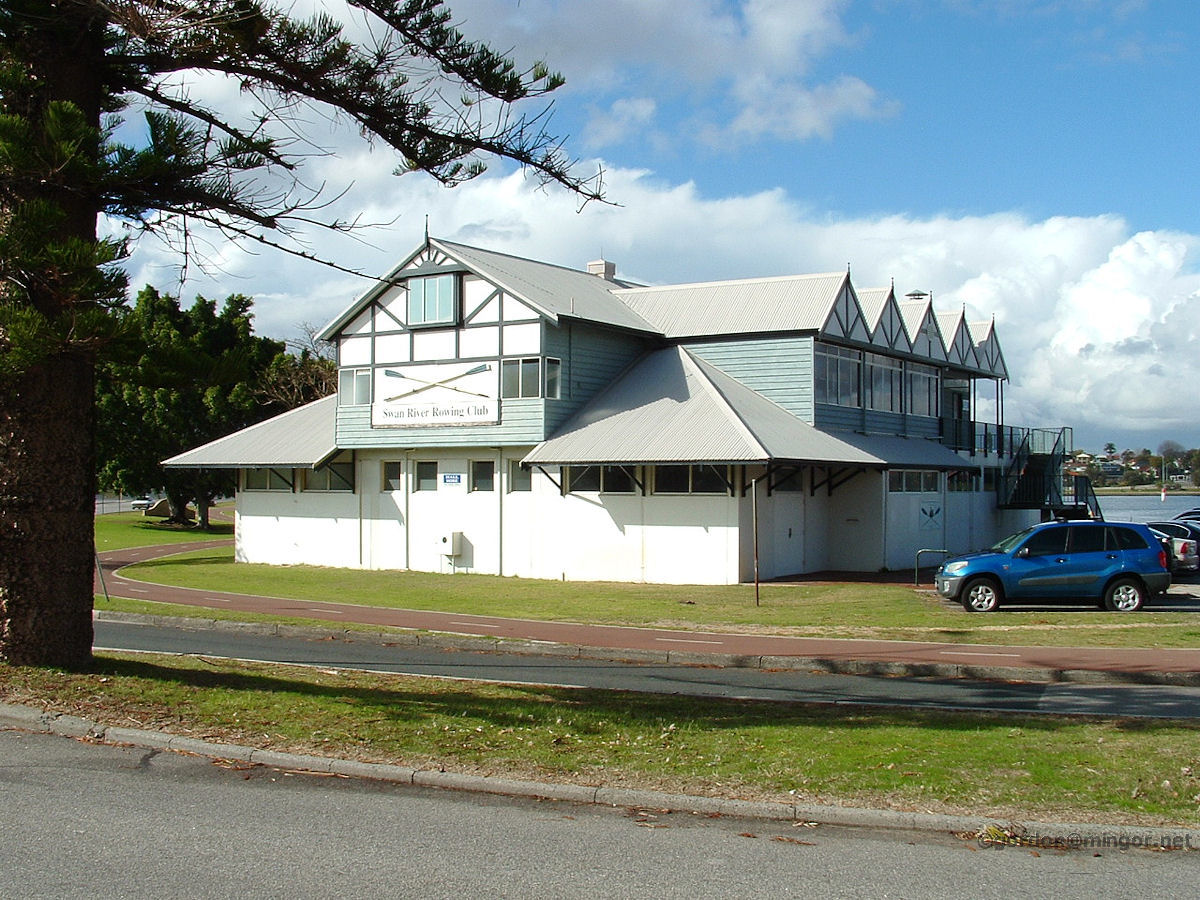 |
Mount Pleasant - Swan River Rowing Club The Swan River Rowing Club is located right at the top of The Esplanade, just about on Canning Highway, and naturally next to the Canning River. The club was established in 1885. Photograph July 2010. Photos Ref: MTPL002 |
||
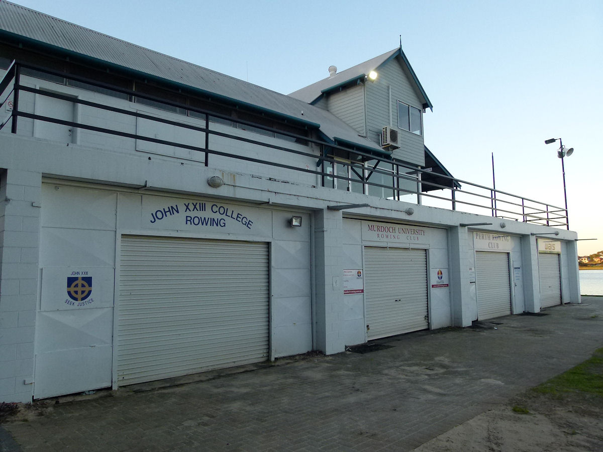 |
Mount Pleasant - Boat Sheds Just along from the Swan River Rowing Club is this building which servers as a boat shed for a number of other rowing institutions. Photograph September 2018. Photos Ref: MTPL003 |
||
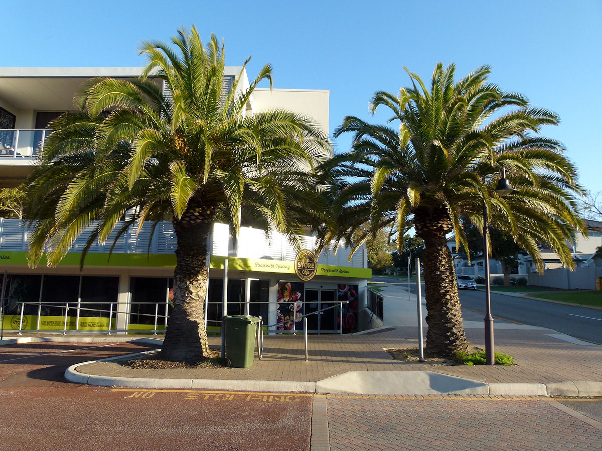 |
Mount Pleasant - Queens Road On Queens Road near Reynolds road is this rather large recent redevelopment of shops and apartments. Photograph September 2018. Photos Ref: MTPL004 |
||
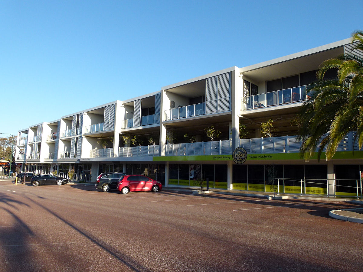 |
Mount Pleasant - Queens Road Looking east down the south side of Queens Road taking in many of the shops and apartments of the recent redevelopment. Photograph September 2018. Photos Ref: MTPL005 |
||
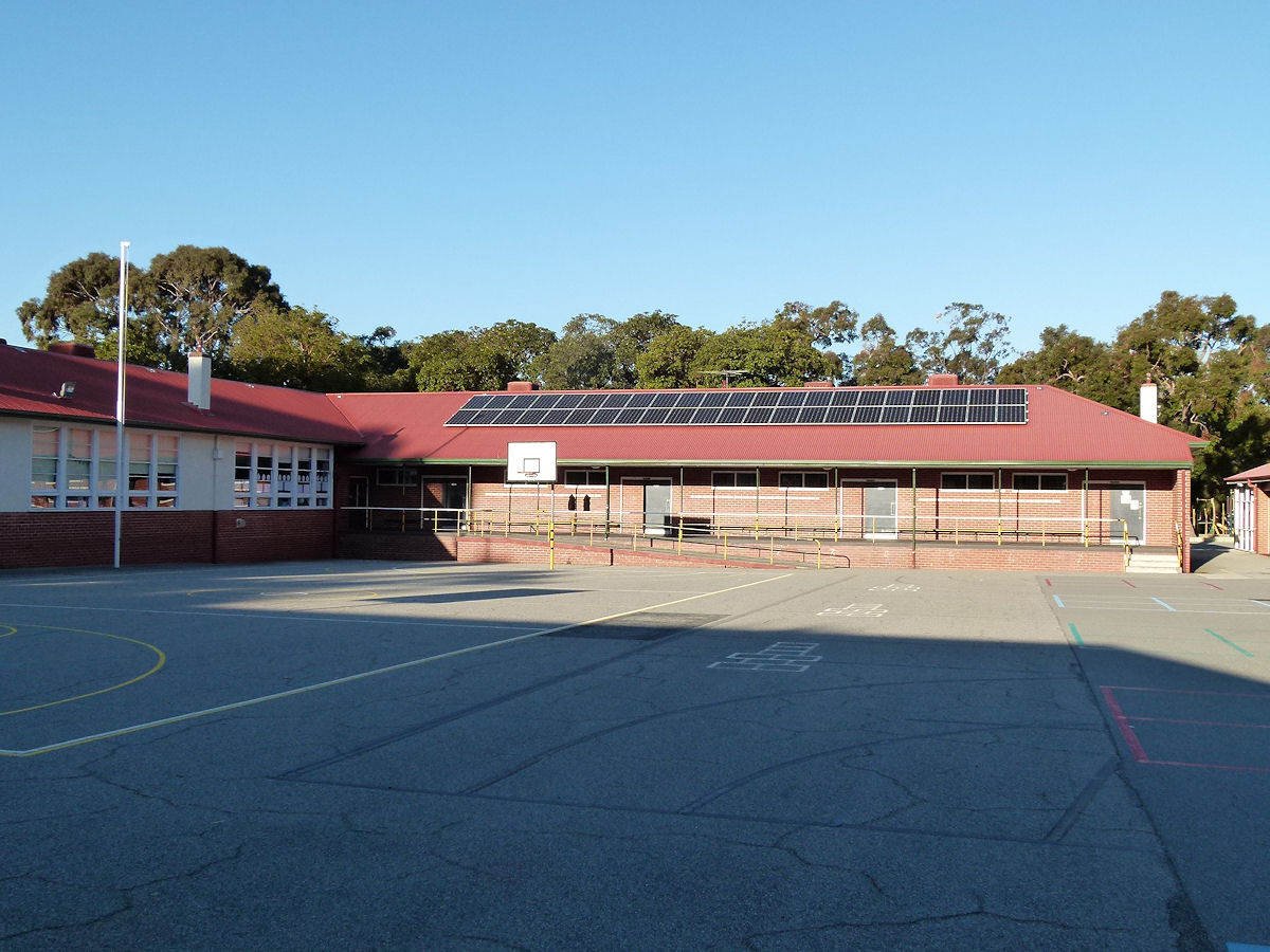 |
Mount Pleasant - Primary School The quadrangle of Mount Pleasant Primary School. The school sits off Henley Road. Photograph September 2018. Photos Ref: MTPL006 |
||
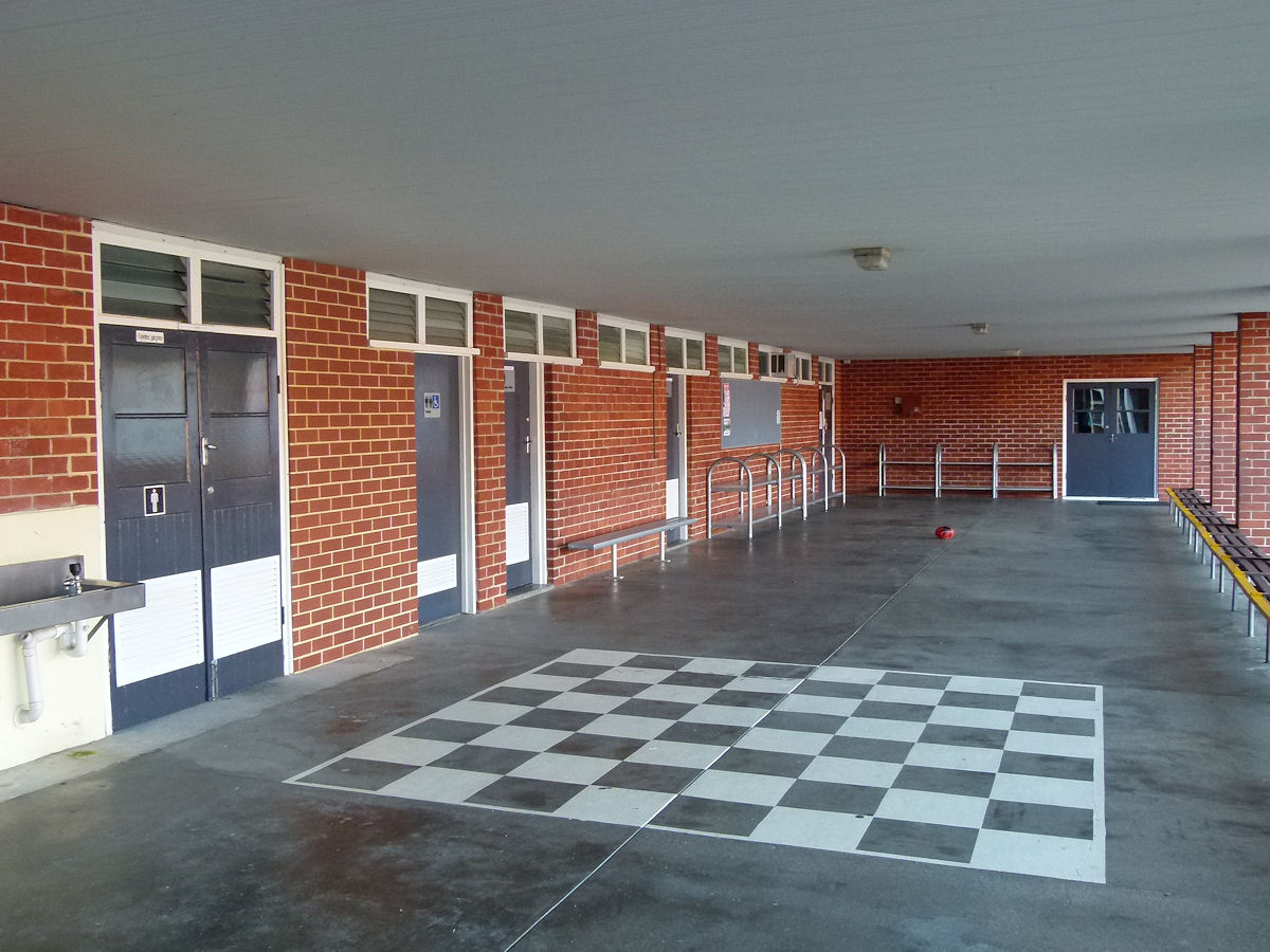 |
Mount Pleasant - Primary School A row of under cover amenties doors in part of the Mount Pleasant Primary School. Photograph September 2018. Photos Ref: MTPL007 |
||
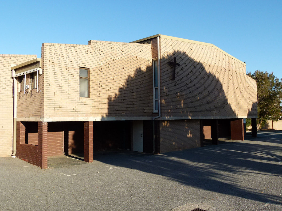 |
Mount Pleasant - Church Of Christ The Mount Pleasant Church of Christ which is on Darnell Way. Photograph September 2018. Photos Ref: MTPL008 |
||
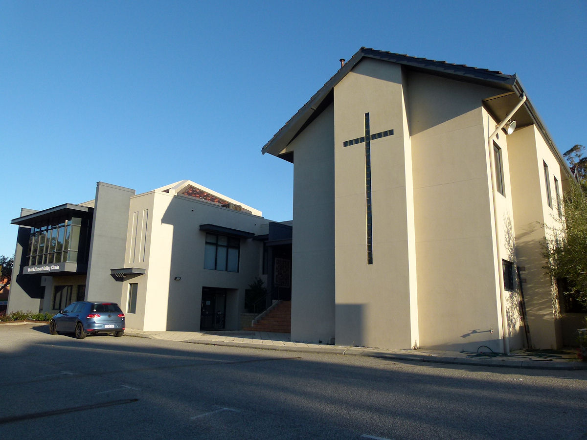 |
Mount Pleasant - Uniting Church Mount Pleasant Uniting Church and associated buildings on Coomoora Road. Photograph September 2018. Photos Ref: MTPL009 |
||
 |
Mount Pleasant - Jetty at Deep Water Point The jetty at Deep Water Point, along The Esplanade. Very narrow with not much room for passing people on the way back. Photograph May 2011. Photos Ref: MTPL010 |
||
 |
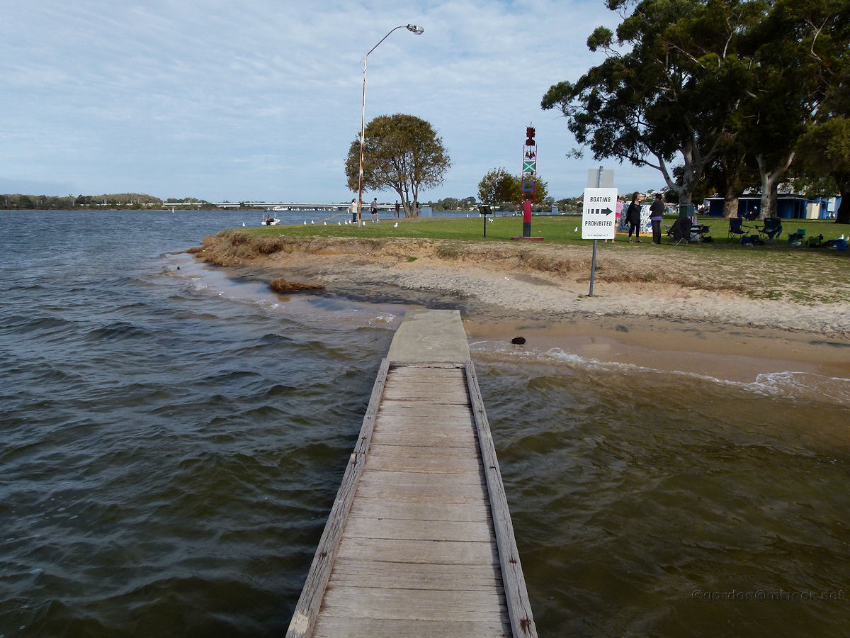
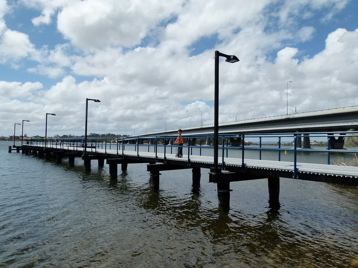
Mount Pleasant - Jetty at Deep Water Point A side-on view of the jetty. It appears to have been upgraded. Photograph September 2018. Photos Ref: MTPL011 |
||
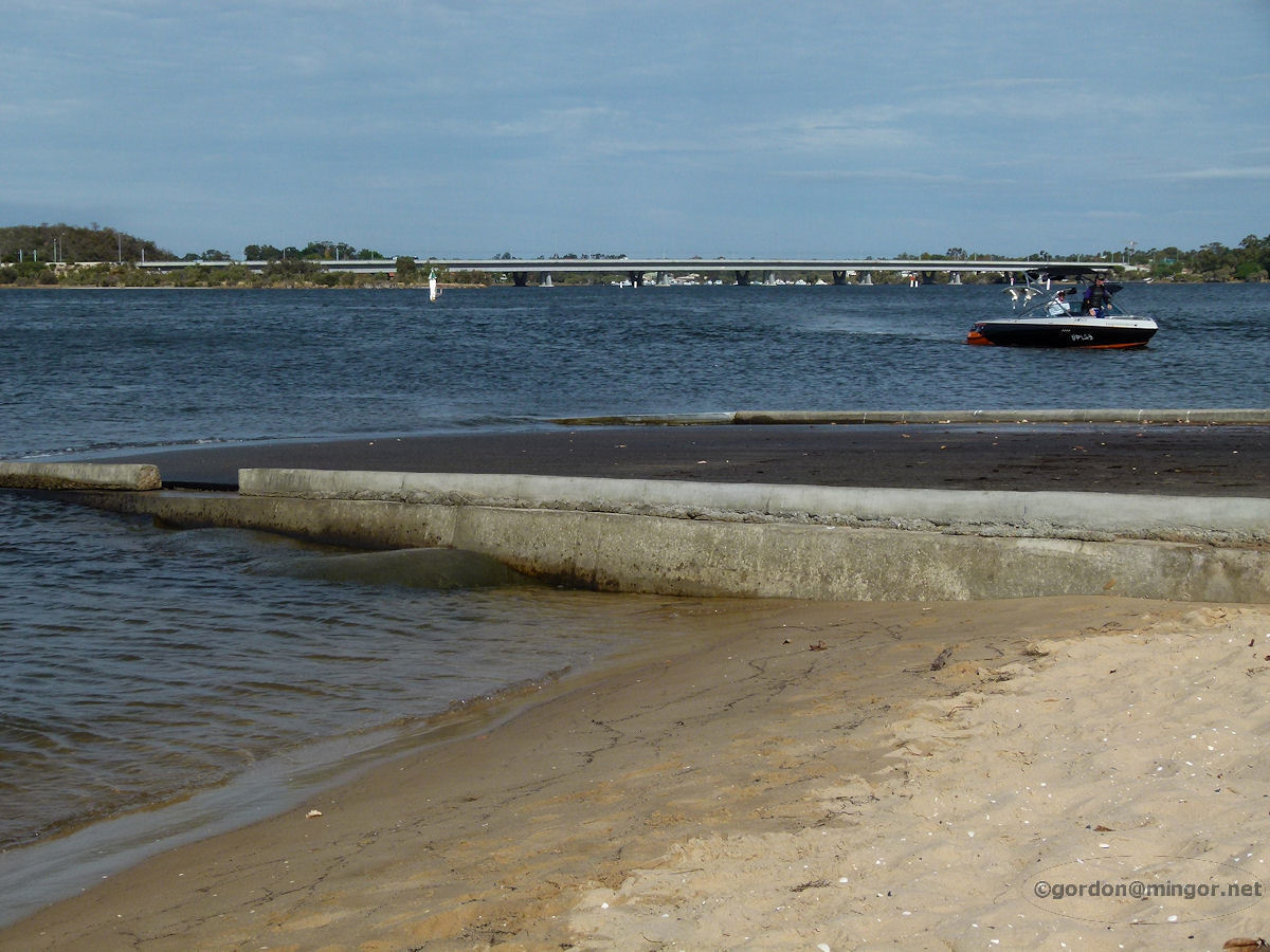 |
Mount Pleasant - Boat Ramp at Deep Water Point The boat launching ramp at Deep Water Point. You can see Mount Henry Bridge over there in the background. Photograph May 2011. Photos Ref: MTPL012 |
||
 |
Mount Pleasant - Deep Water Point Cafe Deep Water Point is a really popular park and lots of people here today despite a cool wind and rain threatening. This cafe is in the park and being well patronised today. Photograph May 2011. Photos Ref: MTPL013 (This cafe closed in July 2016 after operating for 6 years) |
||
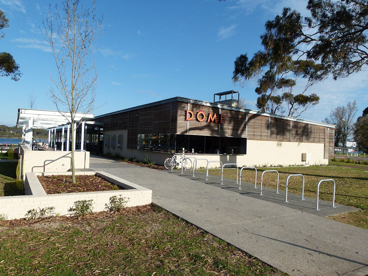 |
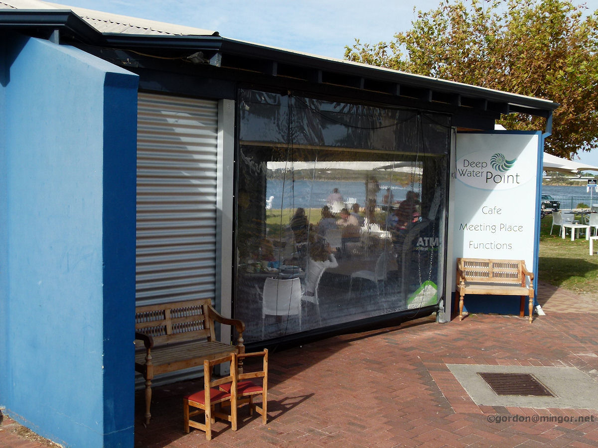
Mount Pleasant - Dome Cafe The former Deep Water Point Cafe has gone and now people here have their own Dome. They seem to be all over the place, and actually that is true. Dome opening its first coffee shop in Cottesloe in 1991. Now there are 130 outlets in 6 countries! Photograph September 2018. Photos Ref: MTPL014 |
||
 |
Mount Pleasant - Jetty near Mt Henry Bridge This jetty runs into the Canning River on the west side of Mt Henry Bridge, seen in the background. Photograph October 2010. Photos Ref: MTPL015 |
||
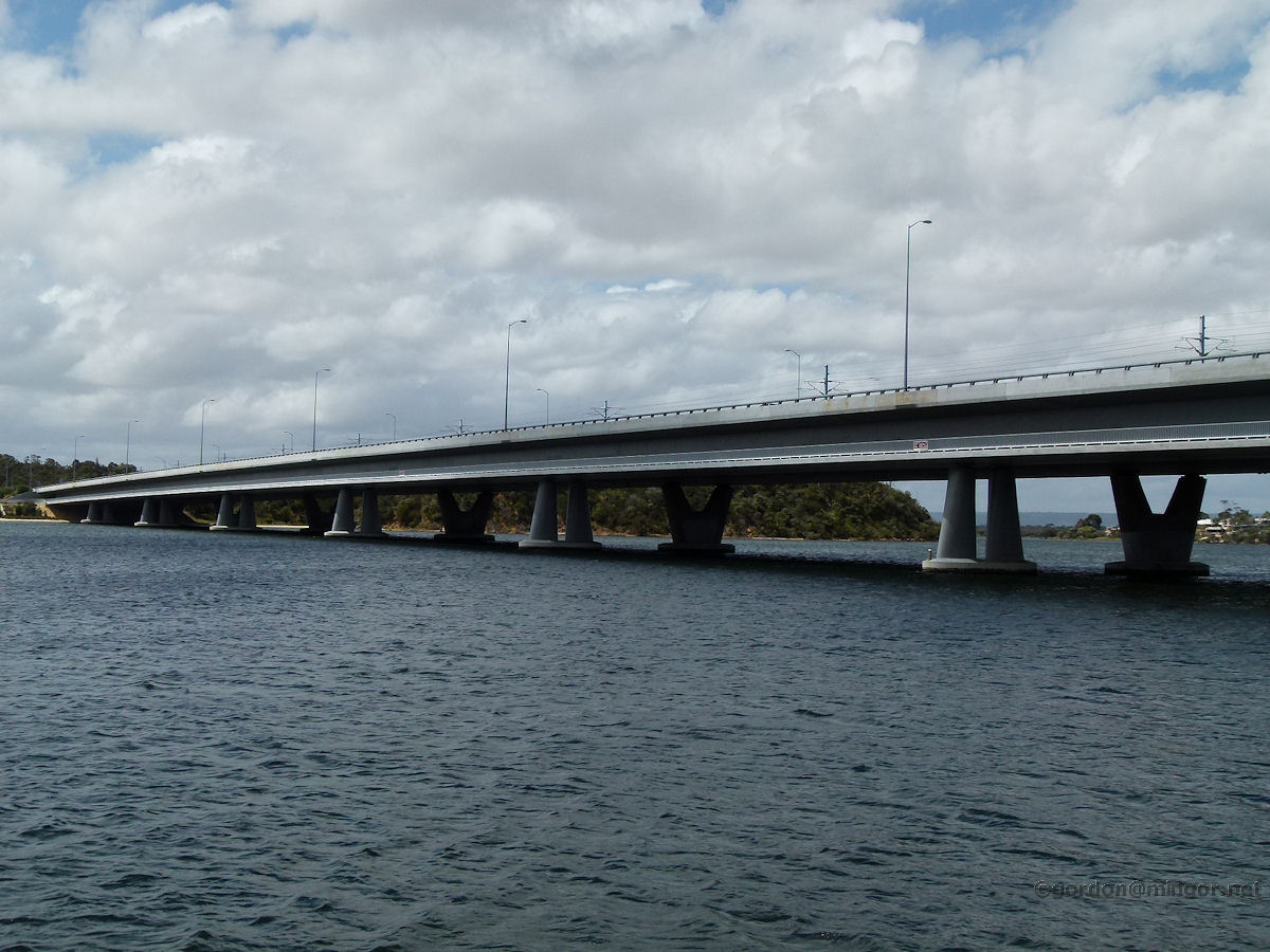 |
Mount Pleasant - Mt Henry Bridge The Mount Henry Bridge carries both Kwinana Freeway road traffic and Perth-Mandurah rail traffic across the Canning River. The bridge was opened in May 1982. The bridge was modified during the construction of the Perth - Mandurah rail link around 2005. The bridge is named after Lieutenant John Henry who, aboard the "HMS Challenger", led an 1829 expedition to explore the upper reaches of the Canning River. Photograph October 2010. Photos Ref: MTPL016 |
||
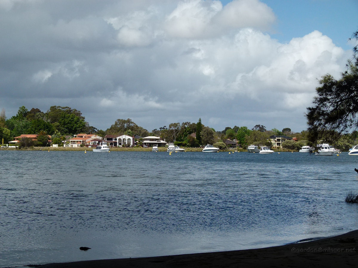 |
Mount Pleasant - Mt Henry Bridge view to Rossmoyne From underneath the Mount Henry Bridge here is a view of some Rossmoyne residences on the far bank. Photograph October 2010. Photos Ref: MTPL017 |
||
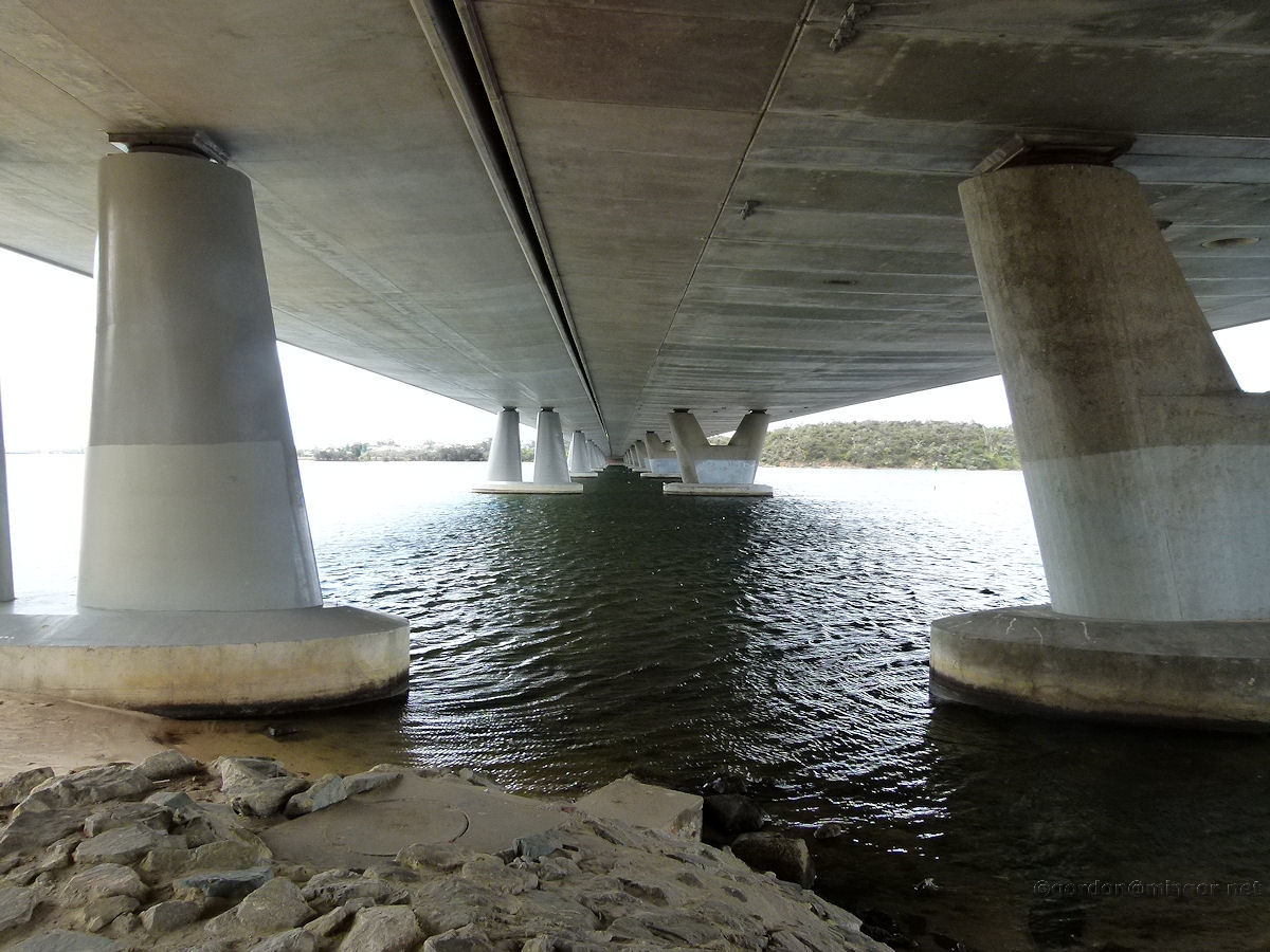 |
Mount Pleasant - Mt Henry Bridge Underneath Large concrete pylons support the Mount Henry Bridge. Photograph October 2010. Photos Ref: MTPL018 |
||
All images published on this website are copyright © of the webmaster. See About section for clarification and special schools permission |
|||