| Photographs of Perth, Western Australia | |||
Ongerup - Photographs of Western Australia The town of Ongerup is located on the road that runs west-east from Gnowangerup through to Jerramungup. It is about 410 kilometres south of Perth and 53 kilometres from the nearest town west, which is Gnowangerup. The rail line pushed through to here in the early 1900's which helped the town flourish. These days both the rail and the flourish seem to have gone. Ongerup was gazetted in 1912 and the name comes from the nearby Ongerup Rock |
|||
| North to Pingrup | East to Needilup | ||
| West to Borden | |||
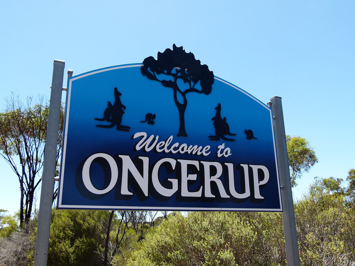 |
Ongerup - Welcome Sign Welcome to Ongerup. That blue is such a cool and refreshing colour. December 2016. Photos Ref: ONGP001 |
||
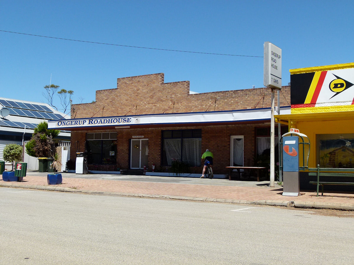 |
Ongerup - Roadhouse On the main street, Eldridge Street, is the Ongerup Roadhouse, open 7 days. It looks of 1950's or 1960's vintage. December 2016. Photos Ref: ONGP002 |
||
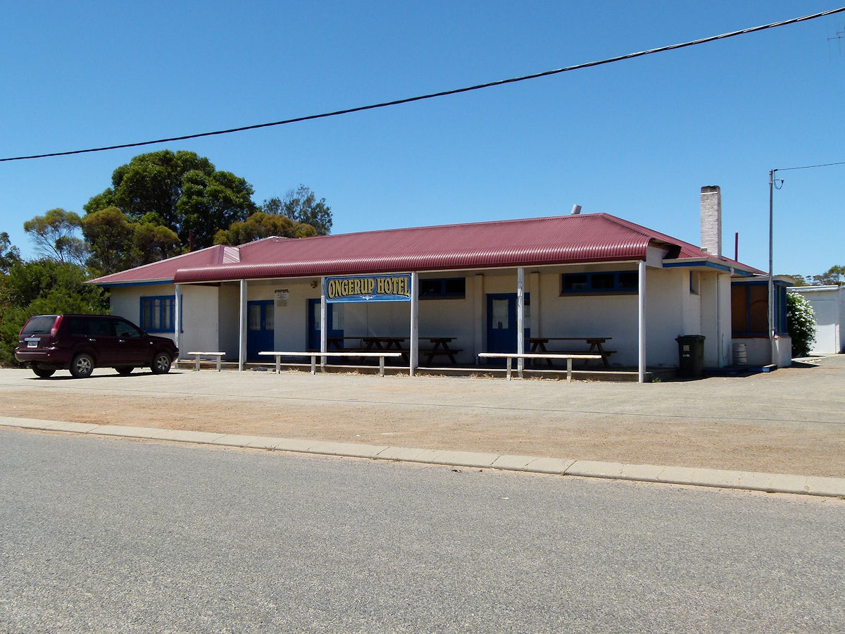 |
Ongerup - Hotel The Ongerup Hotel is undated but looks rather 1940's or 1950's in style. December 2016. Photos Ref: ONGP003 |
||
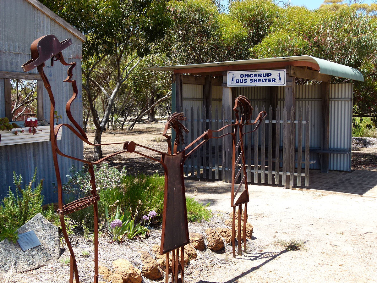 |
Ongerup - Apex Park Apex Park features some rather clever creations and includes an enclosed bus shelter to keep off the sun or the rain. December 2016. Photos Ref: ONGP004 |
||
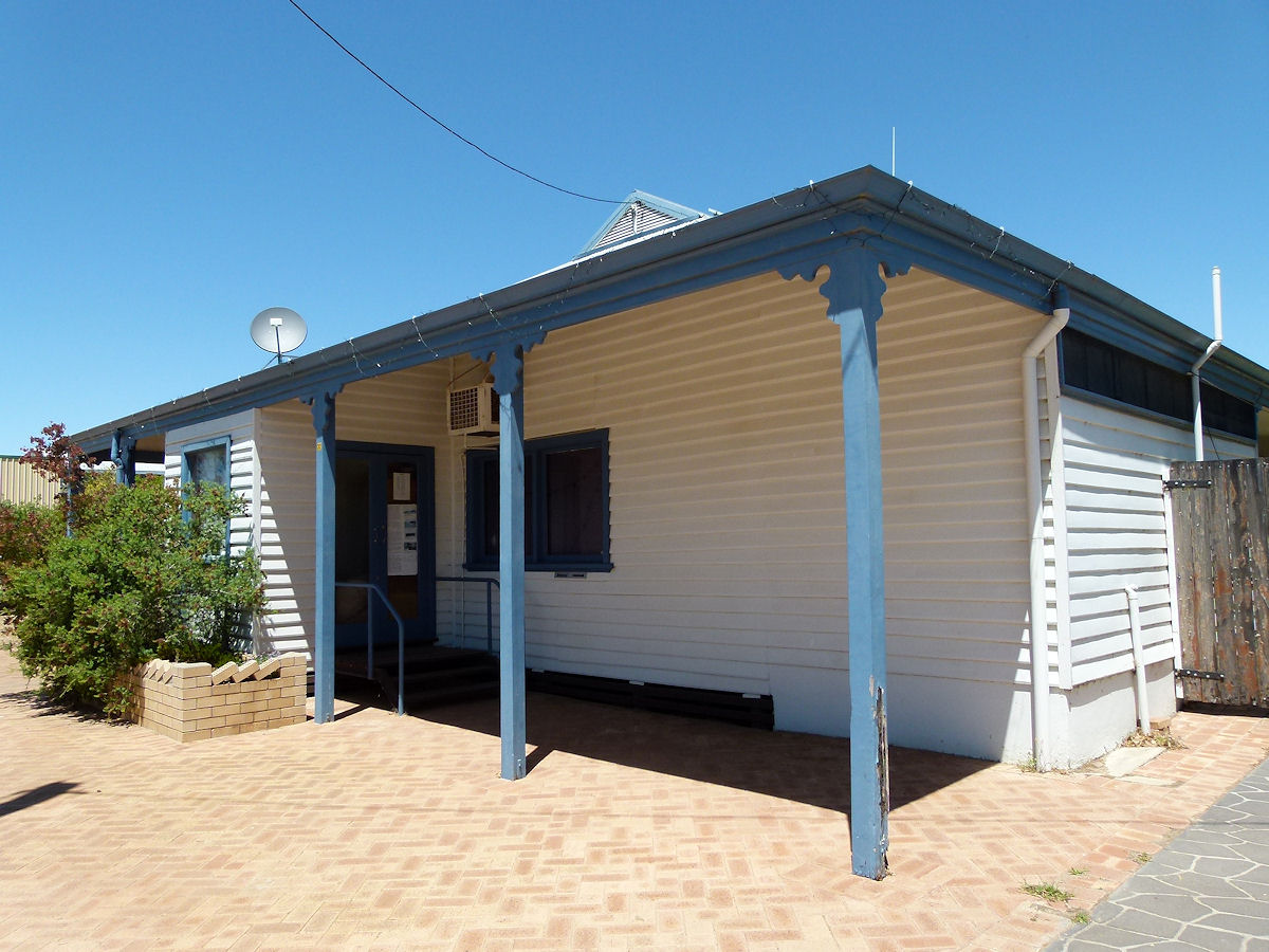 |
Ongerup - Bank On Eldridge Street is this building which was for many years the local Rural and Industries Bank. It operated thus from 1954 to 1997. This building was actually erected in 1918 as Miss Maudie Eldridge's boarding house. The bank took over later. December 2016. Photos Ref: ONGP005 |
||
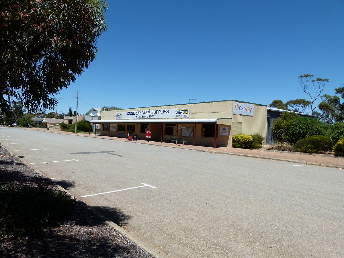 |
Ongerup - Farm Supplies Ongerup farm Supplies and General Store provides for just about all shopping needs for local people, including post office services. December 2016. Photos Ref: ONGP006 |
||
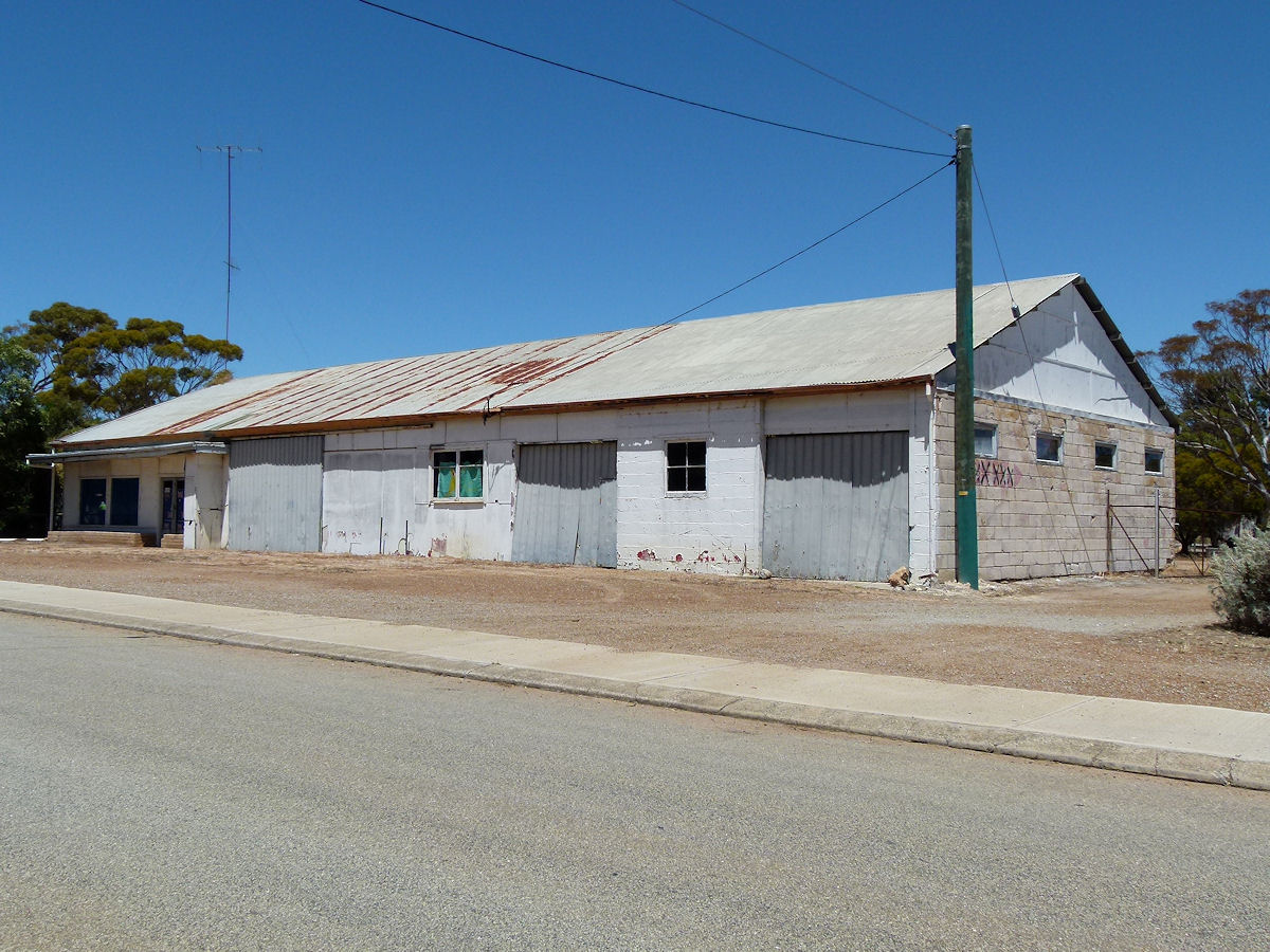 |
Ongerup - Old Business A rather dilapidated old business, perhaps agricultural or machinery, close to the town centre. There are too many of these across country W.A. December 2016. Photos Ref: ONGP007 |
||
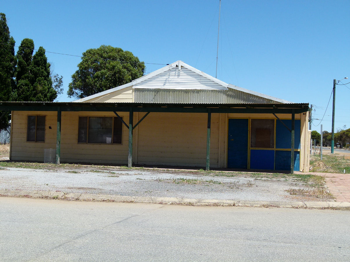 |
Ongerup - Old Shops Another old shop which appears to be abandoned. In some towns these places are snapped up as residences. December 2016. Photos Ref: ONGP008 |
||
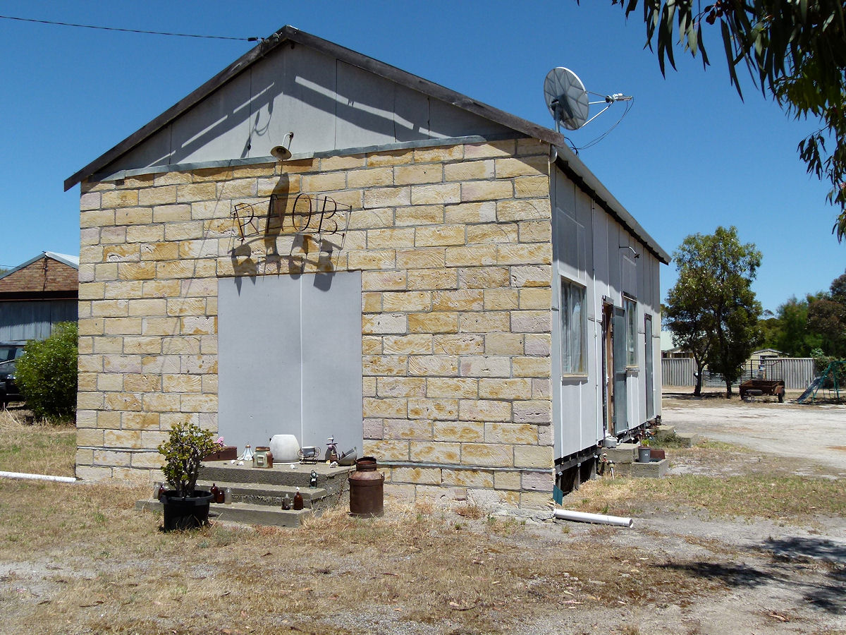 |
Ongerup - RAOB Hall The RAOB Hall, or at least the former RAOB Hall. This looks to be used now by private residents or as a business. December 2016. Photos Ref: ONGP009 |
||
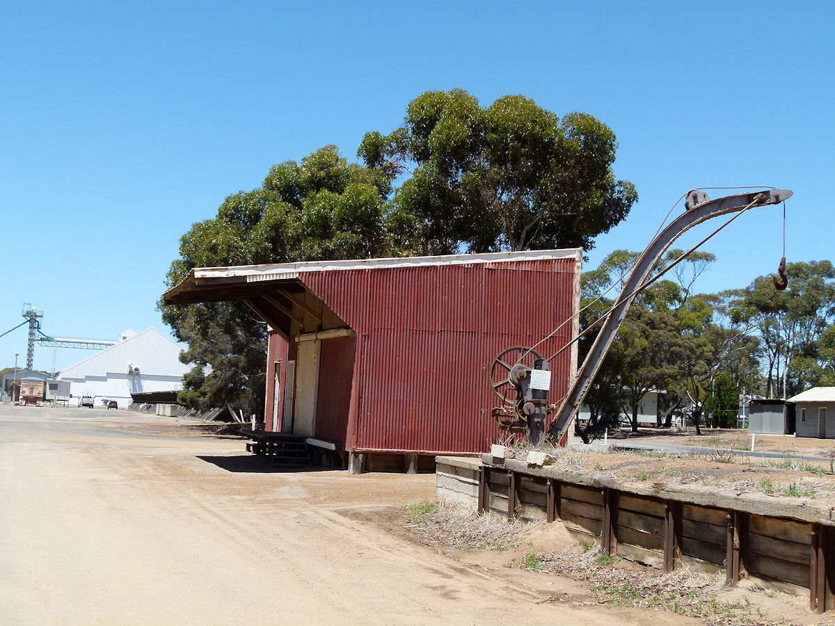 |
Ongerup - Railway The railway goods shed was an integral part of rail operations. Simply storage of inwards and outbound goods. It was built in 1918 and now forms part of the Museum. The railway station building itself has gone. December 2016. Photos Ref: ONGP010 |
||
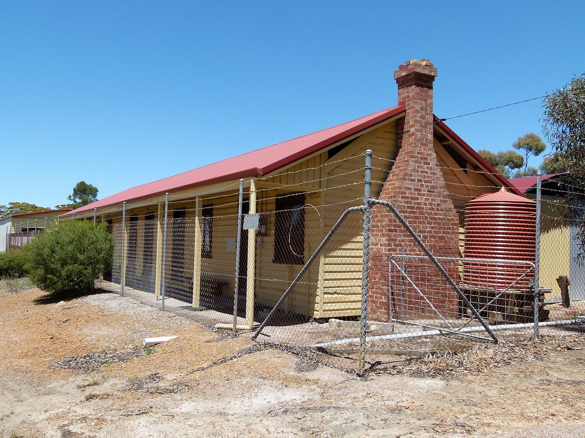 |
Ongerup - Railway Barracks Once upon a time the railway was in town and their crews needed overnight accommodation. This building is the former Railway Barracks. It was constructed in 1918. The barracks ceased being barracks when the Gnowangerup to Ongerup line closed in 1957. These days it serves as part of the Ongerup - Needilup Museum. December 2016. Photos Ref: ONGP011 |
||
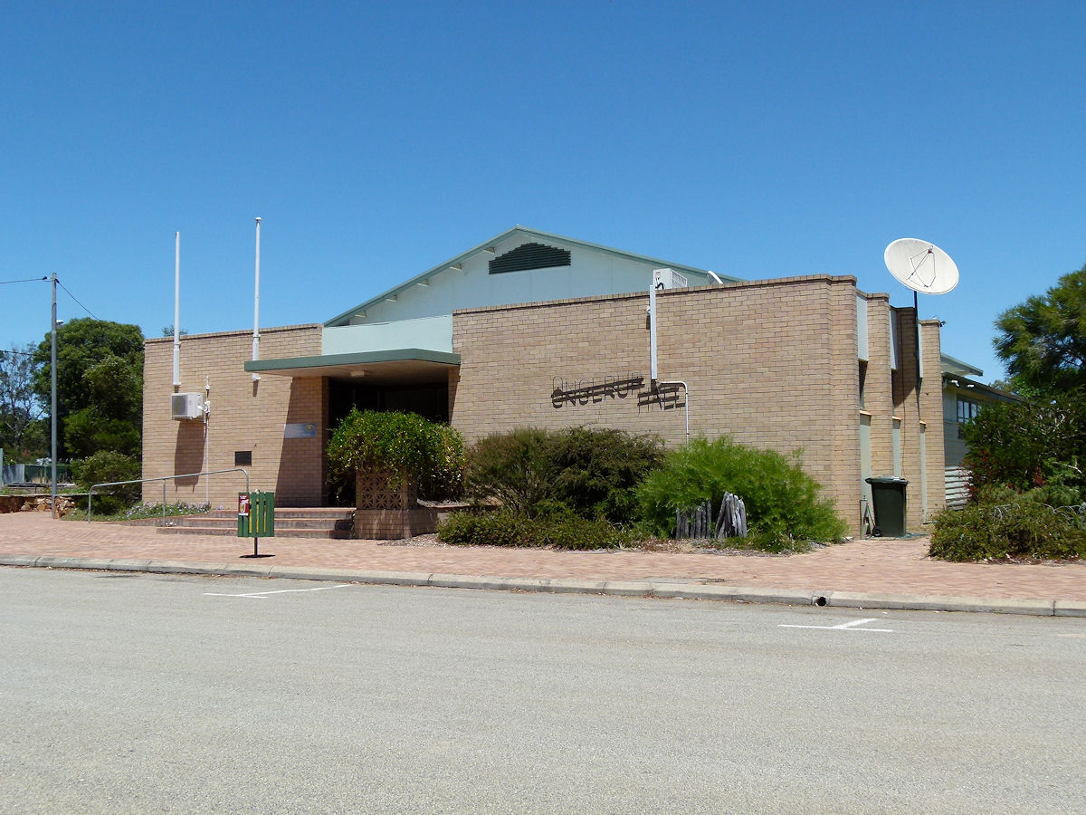 |
Ongerup - Hall The Ongerup Hall on Eldridge Street. This was built in 1953. Another hall built in 1930 which housed the school, was located at another site and was later demolished. December 2016. Photos Ref: ONGP012 |
||
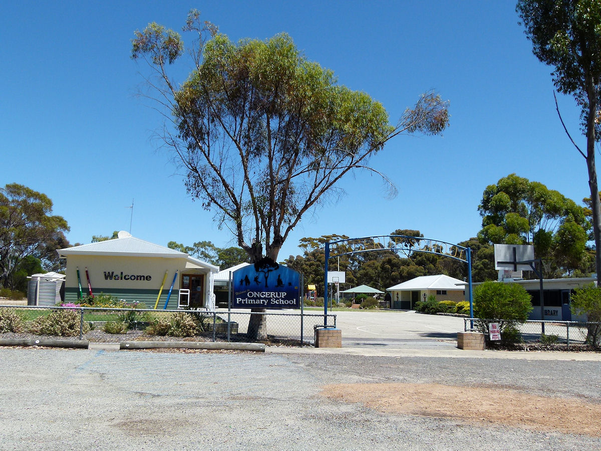 |
Ongerup - School Primary schools are so invariably colourful, uncluttered and clean. The Ongerup primary school commenced here in 1950. Prior to that schooling was undertaken in the old hall. December 2016. Photos Ref: ONGP013 |
||
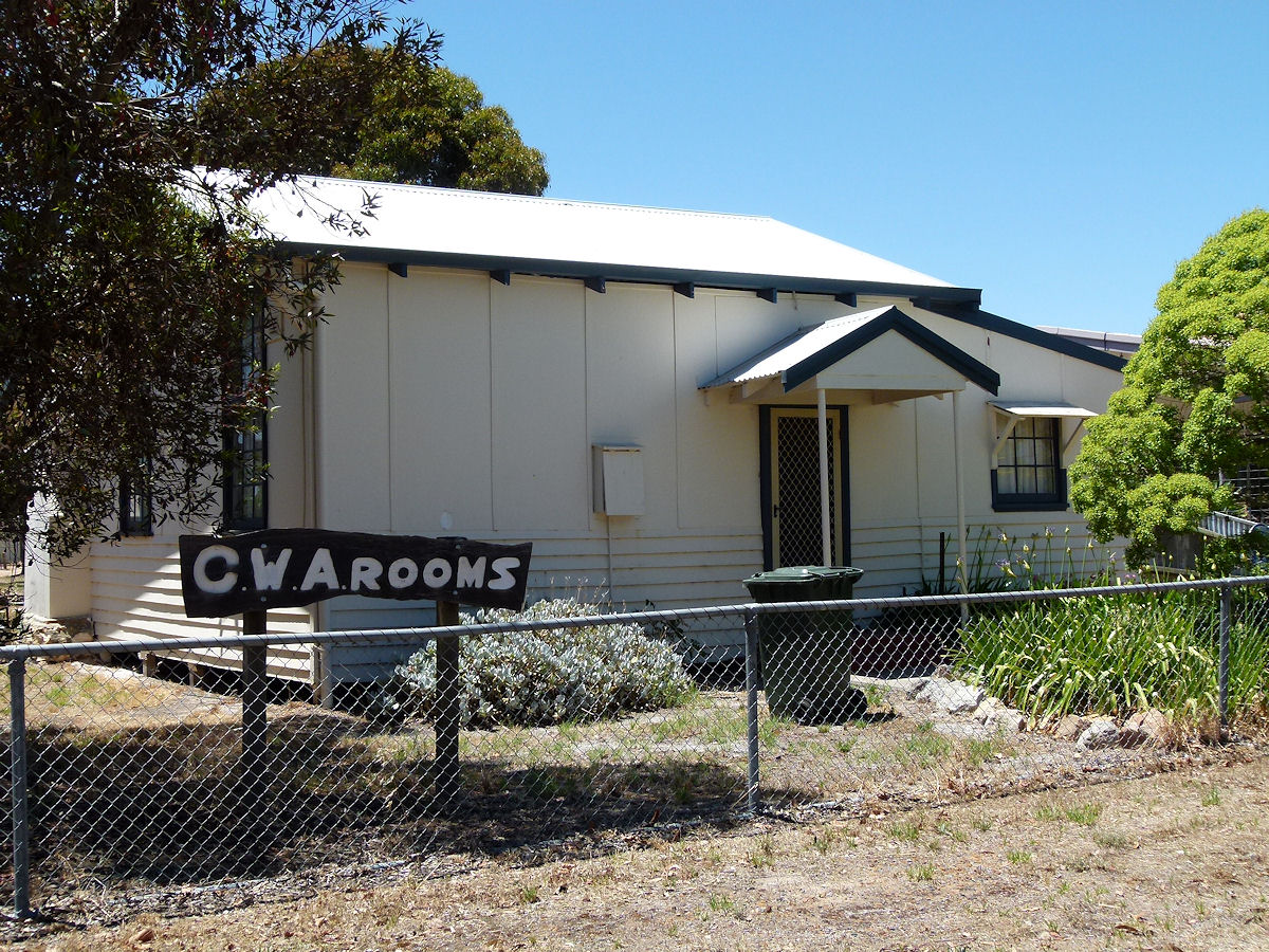 |
Ongerup - CWA Rooms On Lamont Street is the CWA Rest Rooms. The earliest part of this building (there have been add-ons) was constructed in 1944 as part of the East Ongerup Primary School. The CWA bought the building from the Education Department in 1949 thence it was transported to this location. These rooms were opened by CWA State President P. Dempster on July 20th, 1949. December 2016. Photos Ref: ONGP014 |
||
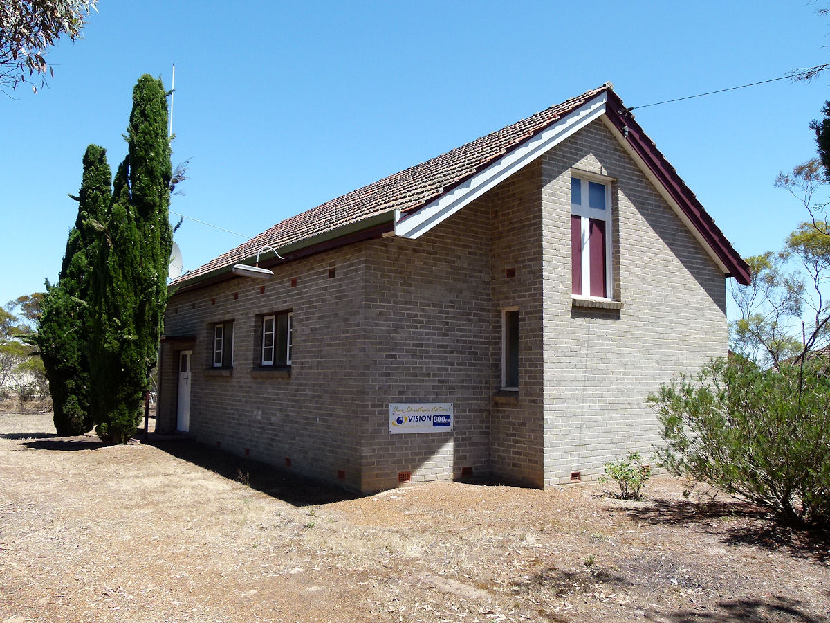 |
Ongerup - Church The Ongerup Faith Community Uniting Church. There is no evidence of a Foundation Stone. This was erected in 1956. December 2016. Photos Ref: ONGP015 |
||
All images published on this website are copyright © of the webmaster. See About section for clarification and special schools permission |
|||