| Photographs of Perth, Western Australia | |||
Beaches and Coastlines visited in Western Australia Western Australia's coastline extends for some 13,000 kms excluding islands. These pictures cover about 1,500 kms. The pictures run north to south, from Geraldton around to Albany. Western Australia some of the most enviable beaches in the world. Along the coast stretch hundreds of kilometres of white sands and clear waters. In some places the beaches are interrupted by interesting crops of limestone formations and in other places, cliffs and hills |
|||
 |
Port Gregory The offshore reef and rocks protect the beach from big waves. Strong winds prevail here often, as is the case today. A man tries his hand at fishing on the town jetty. Photo - December 2015 |
||
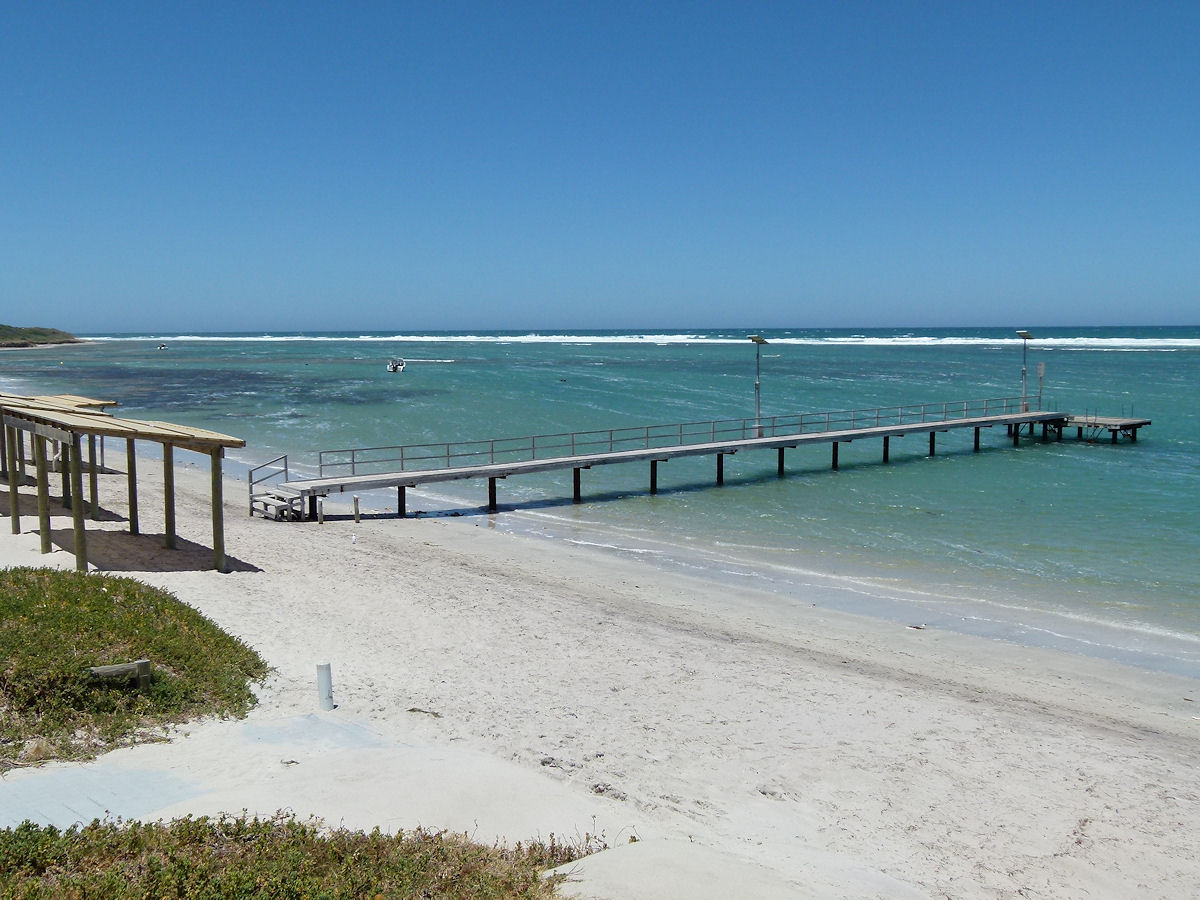 |
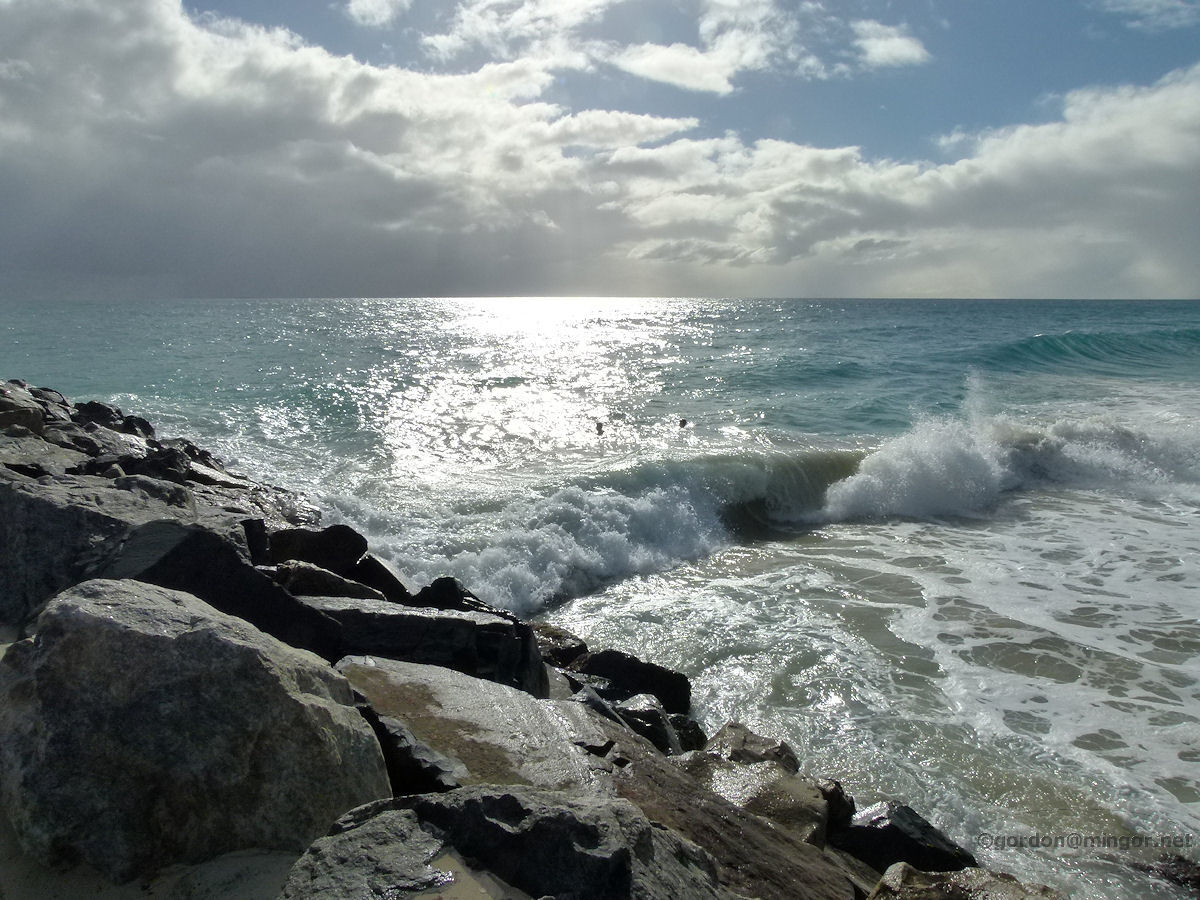
Horrocks Looking south-west along the beach at Horrocks. Waves break on a reef off-shore. The water close in is fairly calm although strong winds can cause a bit of choppiness. Photo - December 2015 |
||
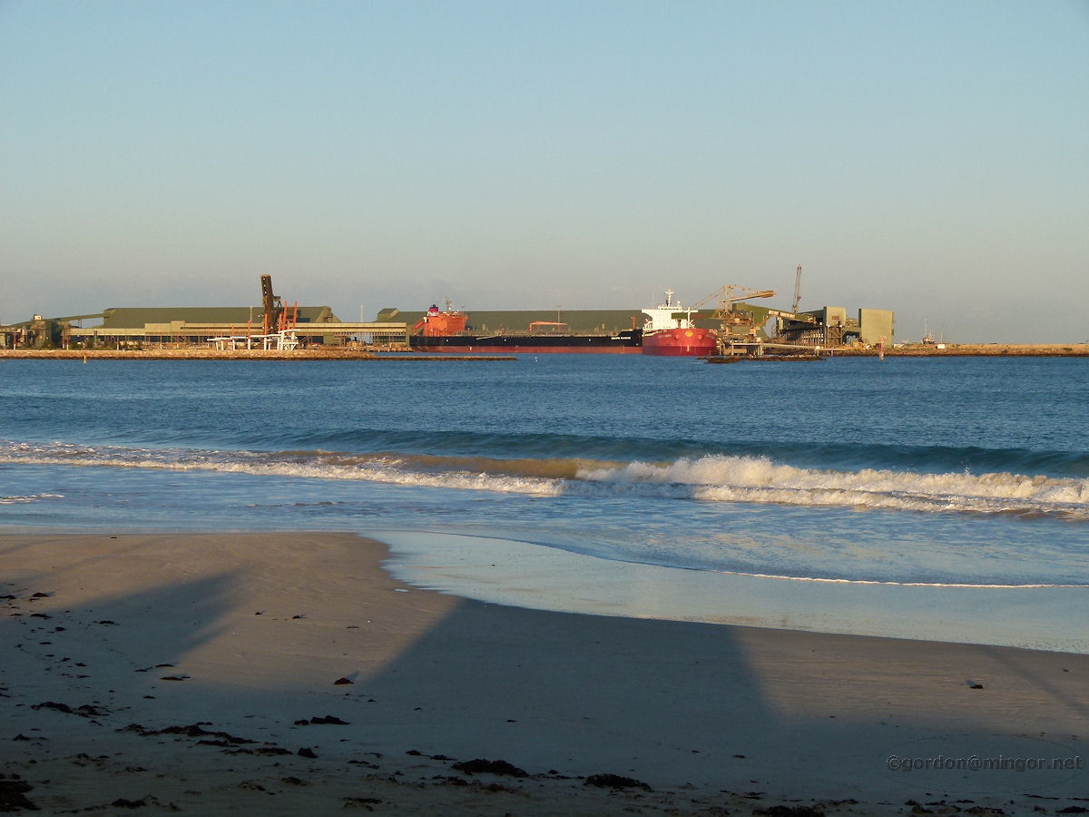 |
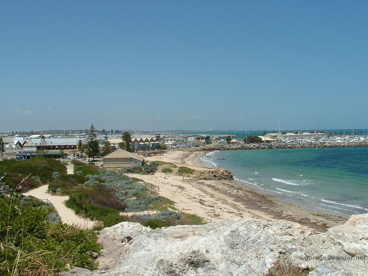
Geraldton A dawn view of the Port of Geraldton from along the Town Beach. Photo - September 2014 |
||
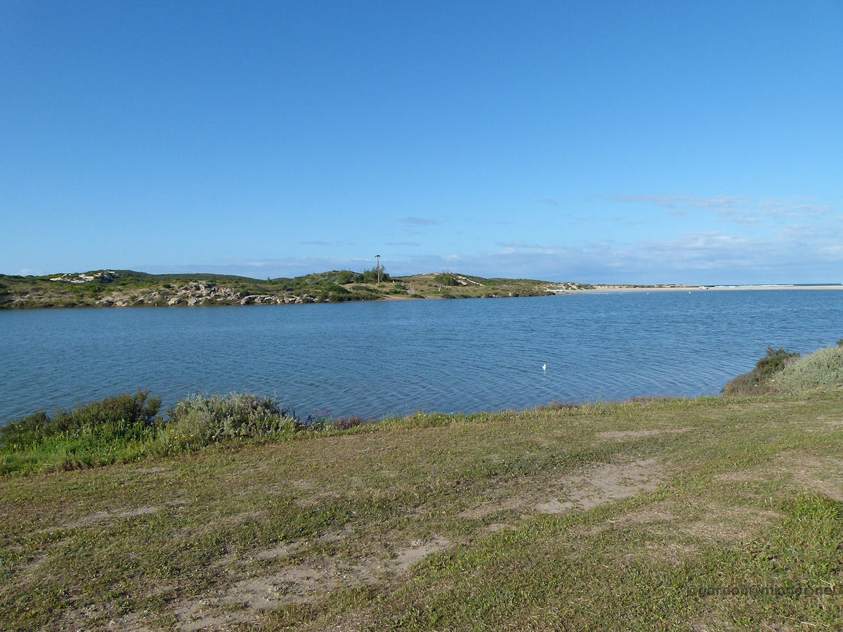 |
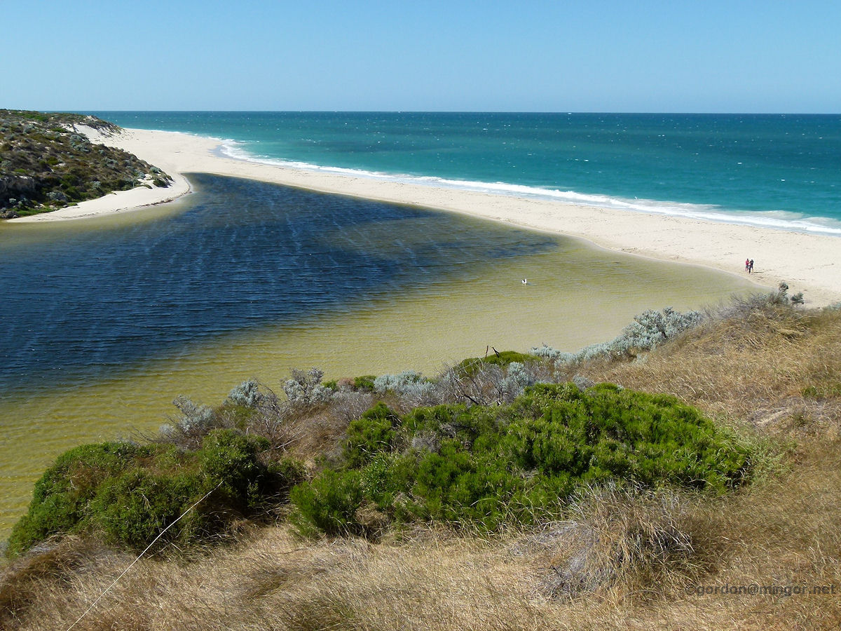
Greenough The Greenough River estuary. Just beyond is the ocean of which you can see a sliver. A sand bar currently blocks any flow into the ocean. Just a handful of kilometres upstream, the river is totally dry. Photo - September 2014 |
||
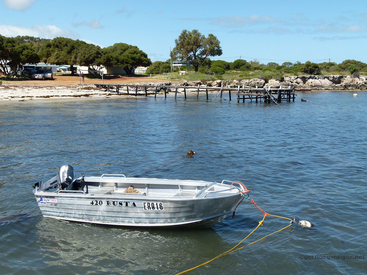 |
Leeman Leeman is a town on the Indian Ocean Drive between Dongara and Green Head. Here is a view of the lesser jetty and coastline, with a small dinghy in the foreground. Onshore is the caravan park. This was taken from part way up the main jetty. Photo - September 2014 |
||
 |
Green Head Point Louise is accessed via an unsealed road from a couple of kilometres north of Green Head. A good place for fishing, paddle boarding, swimming or just messing around. Photo - September 2014 |
||
 |
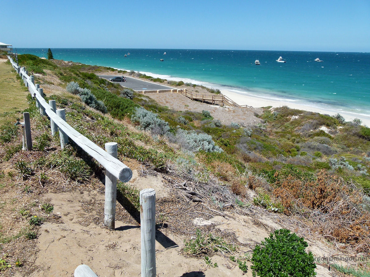
Jurien Bay Jurien Bay is some 230 kilometres north of Perth. Here is a view across the beach taking in the end of the new jetty with Favourite Island sitting off on the horizon. Jurien often experiences rather stiff on-shore winds which makes this place popular with wind-surfers. Photo - January 2013. |
||
 |
Cervantes The white sands of Cervantes Beach. I think the howling winds are keeping people away from the beach today. Photo - January 2013 |
||
 |
Lancelin Lancelin is 127 kilometres north of Perth. Lancelin Island, pictured, sits a few kilometres off the coast, a little north of the centre of town. This view is taken from the main jetty. This is another section of the coast favoured by windsurfers. Photo - January 2011 |
||
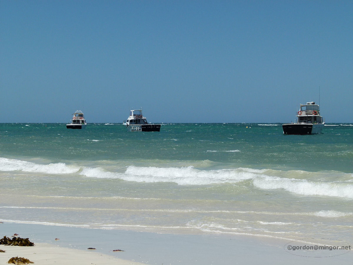 |
Ledge Point Fishing boats bob up and down at anchor in the sea off the coast of Ledge Point. Photo - January 2011 |
||
 |
Seabird The Indian Ocean off Seabird looking south. These beaches remain almost untouched. Photo - January 2011 |
||
 |
Guilderton What a spectacular place is Guilderton, ideal for a day trip or an extended holiday away from the city. The main feature of this town is its proximity to the Moore River and to the ocean. The sand-bar blocks the Moore River from flowing into the sea at present. Photo - January 2011 |
||
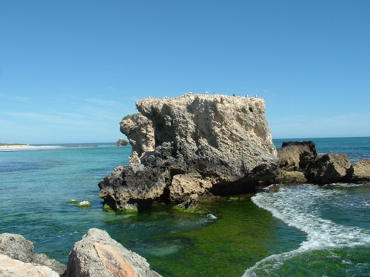 |
Two Rocks Two Rocks is on the northern periphery of the Perth metropolitan area. It is aptly named after two rocks which sit just off-shore. Here is the larger of the two rocks - the northern aspect, so looking "end-on" - sitting in the ocean. The smaller rock is just visible to the left of this big rock, over towards the horizon. Photo - September 2009 |
||
 |
Yanchep A beach scene alongside the Yanchep Lagoon. This is looking south. There are interesting rock pools over there on the headland. Photo - September 2009 |
||
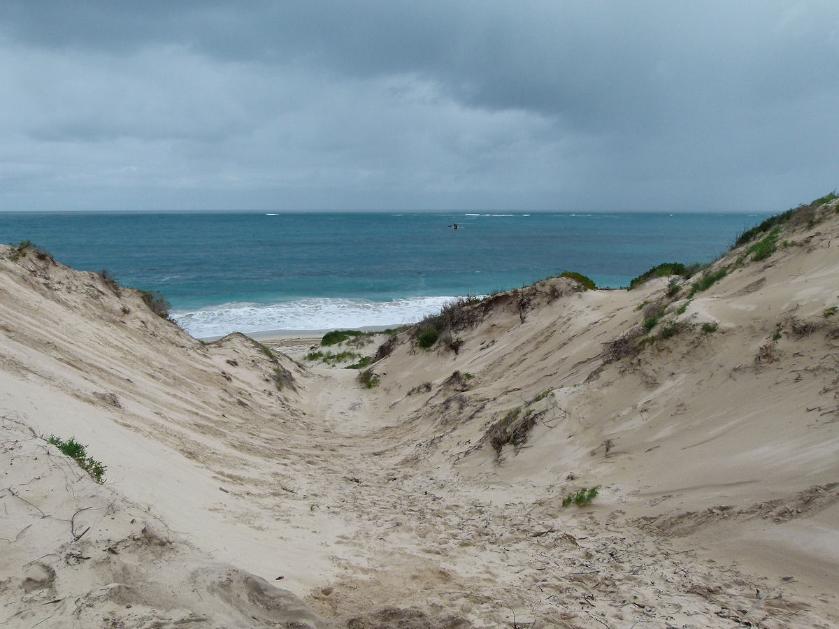 |
Alkimos A look through the sand dunes down to the Alkimos Beach. You might be able to make out the wreck of the Alkimos in the ocean a little right of the centre of the picture. This photo was taken before this area was developed. Photo - July 2013 |
||
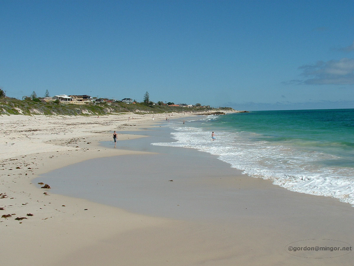 |
Quinns Rocks Beautiful white beaches that go on forever. This is looking south from Quinns. Photo - 2007 |
||
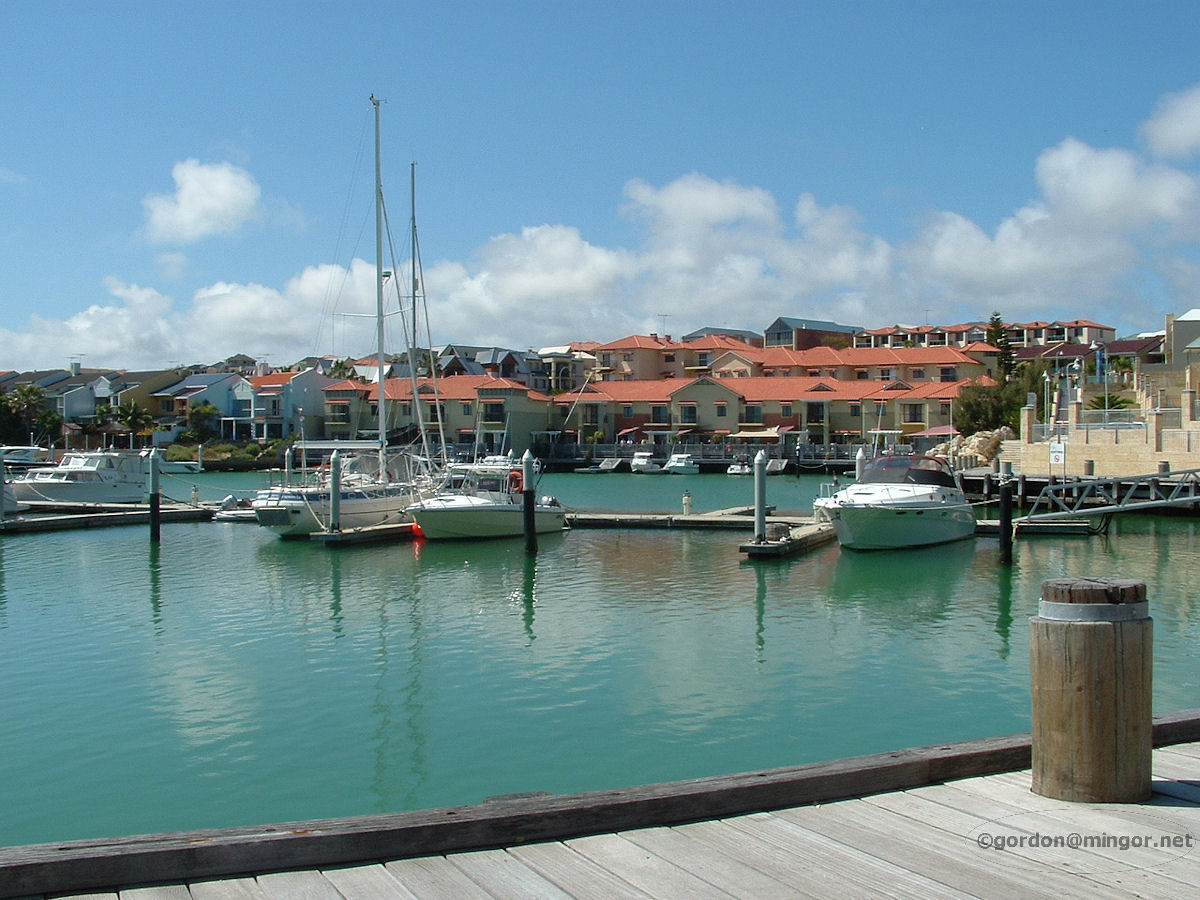 |
Mindarie About 30 kms north of Perth, Mindarie beach and boat harbour has grown quickly over recent years. This is a look at one of the inlets off the ocean. Photo - 2007 |
||
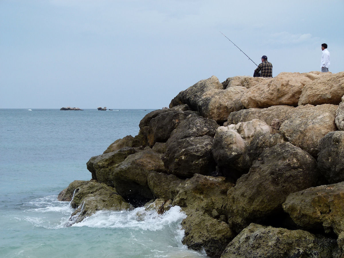 |
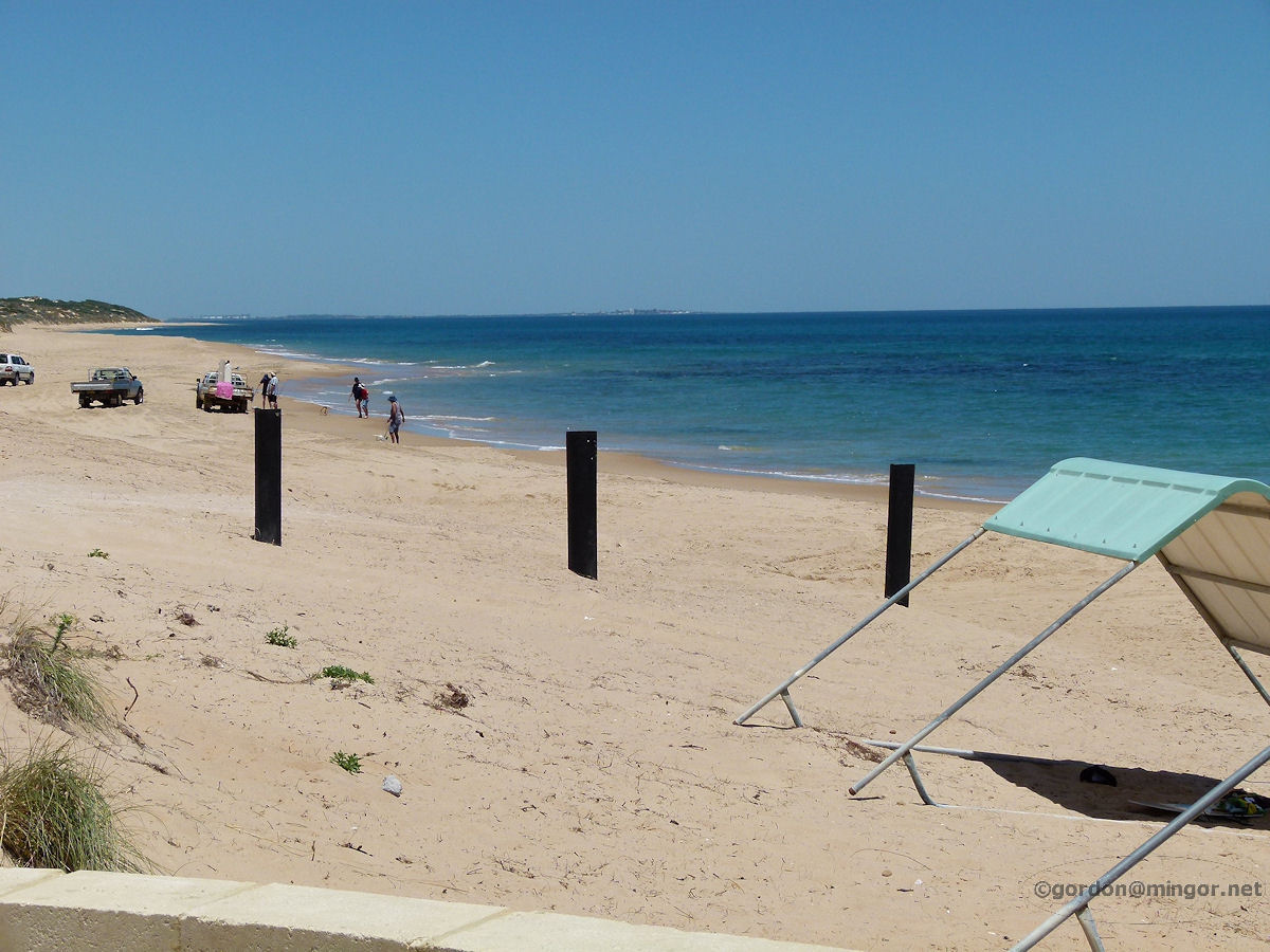
Burns Beach A couple of fellows on the end of the Burns Beach groyne try their hands at fishing. Over in the ocean you can see some of the Burns Rocks. Photo - January 2013 |
||
 |
Ocean Reef Part of the fabulous coastline of Ocean Reef. This area is mixed sandy beaches and small limestone cliffs. Photo - April 2010 |
||
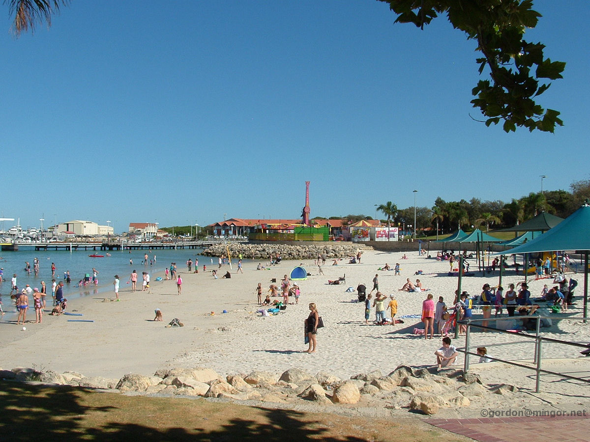 |
Hillarys The sheltered beach of Hillarys looking north towards the amusement park. This area is connected to the ocean via a channel off the the left. Hillarys ocean beach is slightly to the south of here. Photo - January 2009 |
||
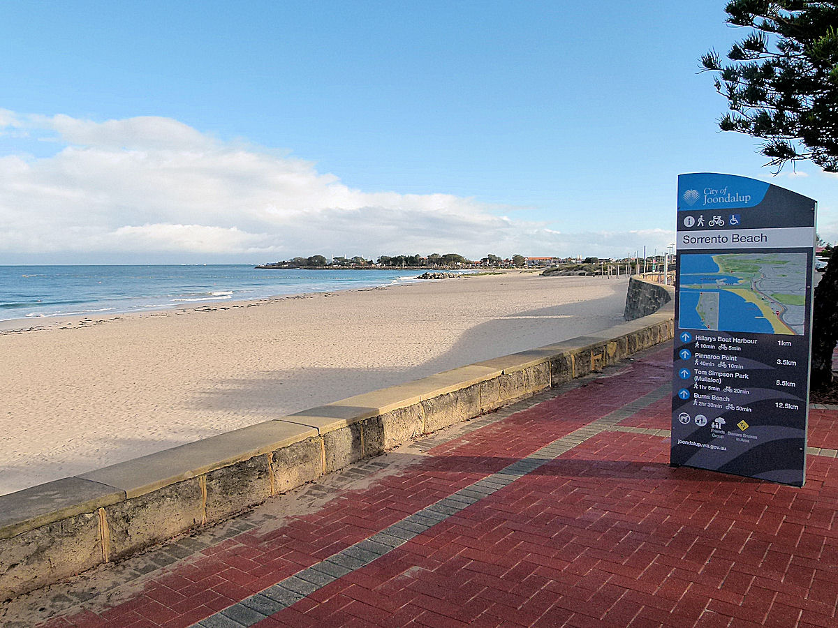 |
Sorrento Looking across Sorrento beach to the north. You can make out parts of Hillarys Marina in the distance. Photo - May 2020 |
||
 |
Trigg On lower rocks on the ocean side of Trigg Island. The tide is running in and this hardy fisherman got covered in spray from breaking surf a couple of times while we were looking on. Trigg Island is really not an island now although it used to be. It is connected to the mainland by a sandbar although at very high tides is may again become disconnected. Photo - May 2012 |
||
 |
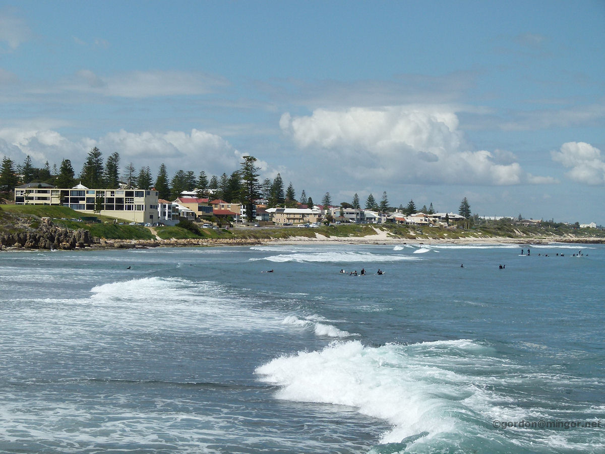
Scarborough A look down Scarborough Beach towards the south complete with a few surfers and moderate waves rolling in. Scarborough Beach is one of the more popular beaches in Perth. Photo - October 2012 |
||
 |
City Beach The sun glistens on the sea at City Beach, the rocks shine, dark clouds threaten, and there are two boys bobbing around in the water. Photo - May 2012 |
||
 |
Cottesloe A view from the groyne looking over Cottesloe Beach south. Despite the sun it was still chilly but that doesn't seem to stop some swimmers. Many wet-suited braves are out in the water trying to catch a wave. Photo - September 2012 |
||
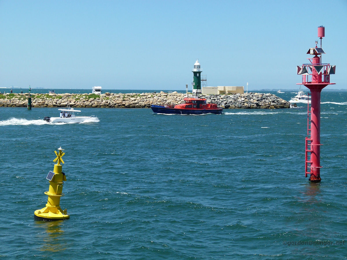 |
North Fremantle Standing on the groyne that forms Rous Head, this is looking across the entrance channel to Fremantle Harbour. The green lighthouse is on the southern Arthur Head. Photo - December 2011 |
||
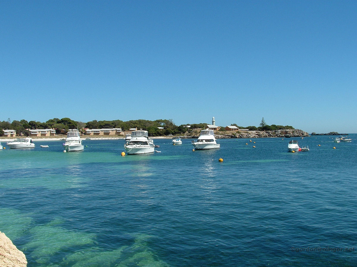 |
Rottnest This is Thomson Bay North on Rottnest Island looking from the Main Jetty. When I mentioned Western Australia's coastline of 12,000 kms excluding islands, Rottnest of course is included in the extra 6,000 kms of island coastlines. Photo - January 2009 |
||
 |
Fremantle This is looking south from up at the Fremantle Round House, across 'Bathers Beach' (lots of seaweed) then across some of the boat harbour and on down to Kwinana etc. Photo - 2007 |
||
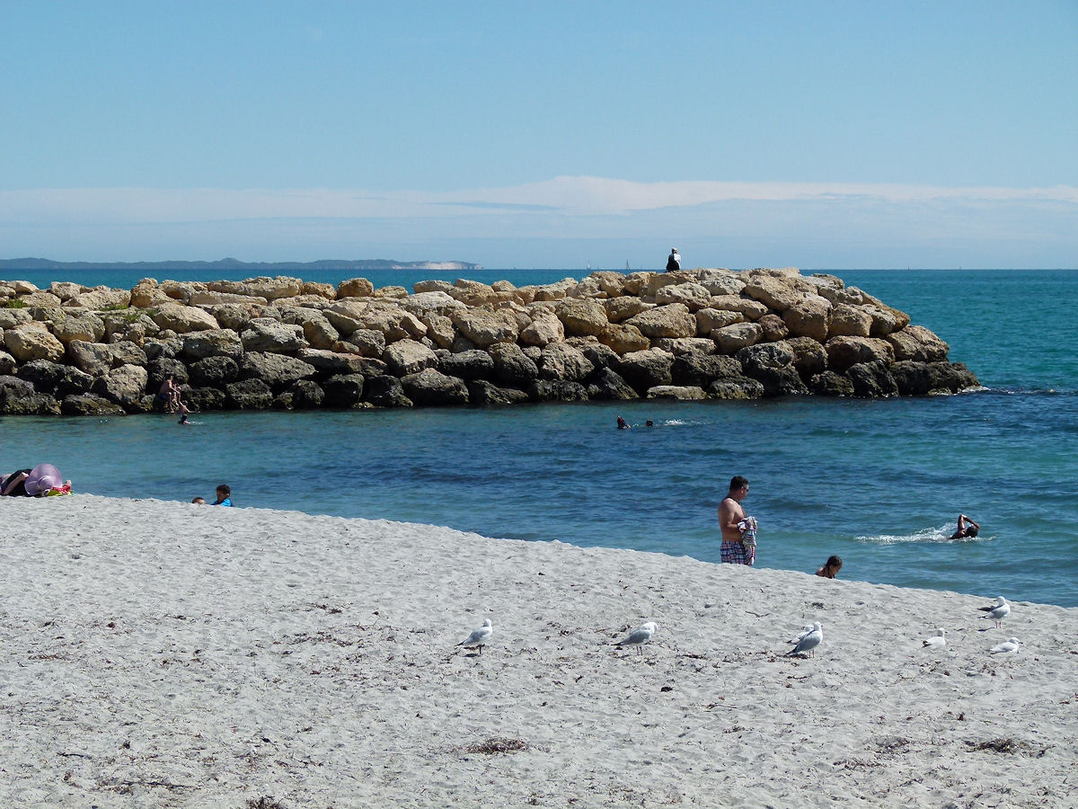 |
South Fremantle Looking south down a section of South Beach taking in the southern groyne. On the horizon is the northern part of Garden Island. Photo - November 2015 |
||
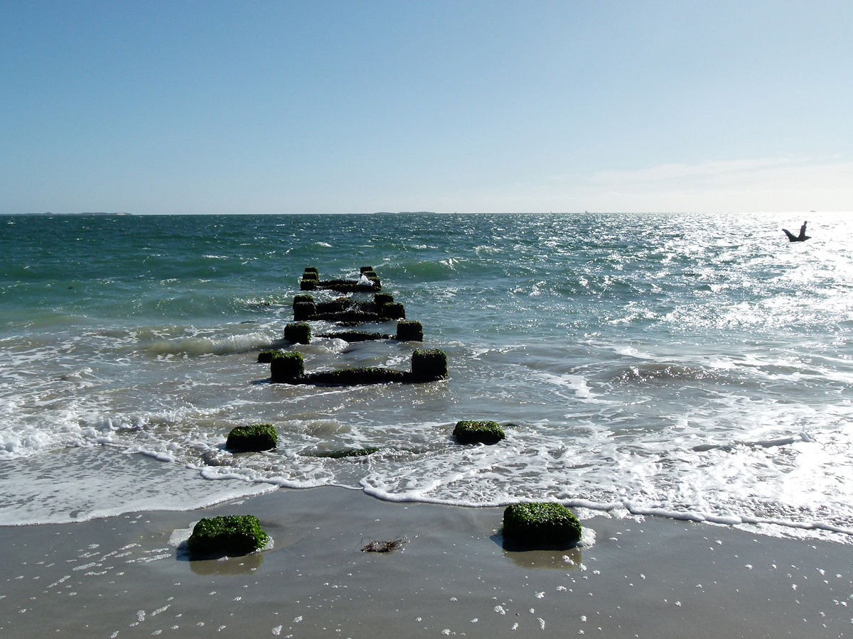 |
Coogee What is left of the old Coogee jetty. Old supports extend out in to the sea. Off to the right of picture, up near the horizon, the C. Y. O'Connor memorial statue is silhouetted against the afternoon sun. Centre on the horizon is Carnac Island. To the left of that is the northern part of Garden Island. Photo October 2013 |
||
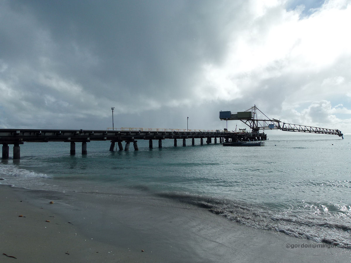 |
Woodman Point The Woodman Point jetty reaches out into the winter ocean with dark clouds threatening. The jetty is part of Cockburn Cement's operations. Photo - August 2012 |
||
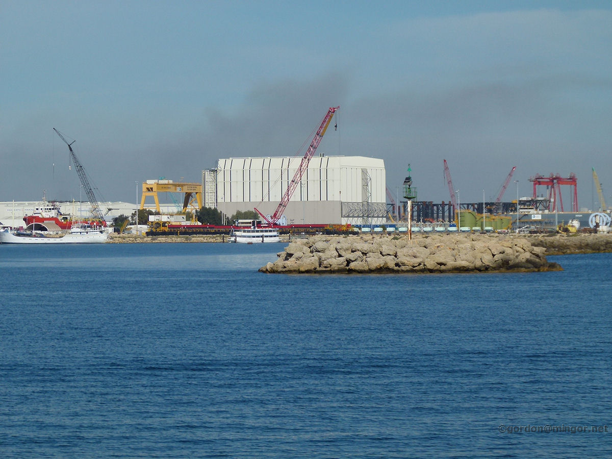 |
Henderson Cranes dominate the skyline in the Henderson shipyards. Smoke in the area comes from Naval Base industries. Those rocks in the sea make up an island complete with a navigation beacon. This picture was taken over at Woodman. Photo - May 2012 |
||
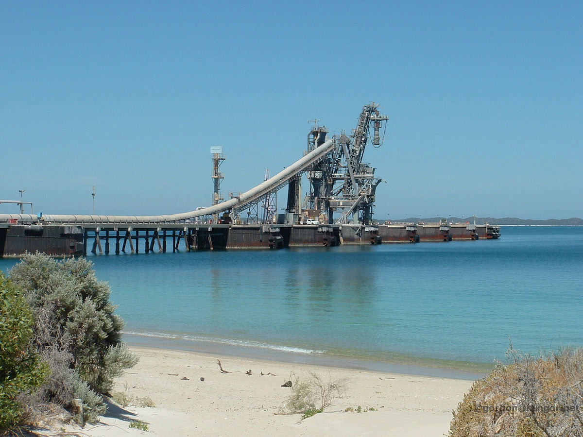 |
Naval Base This is the jetty next to the Alcoa Kwinana Refinery so I assume this is from where their finished product is shipped. Doesn't the water look good. This area of beach is popular for exercising horses. Photo - January 2010 |
||
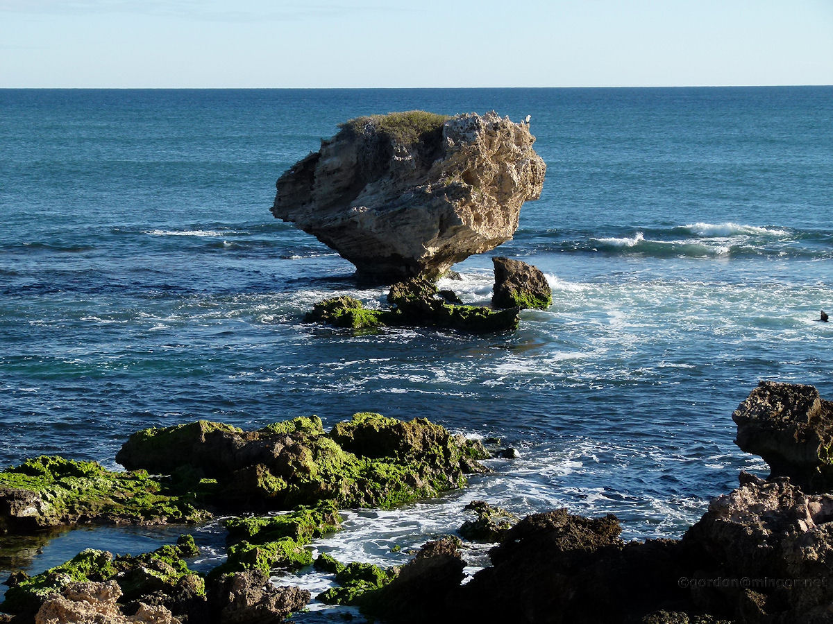 |
Rockingham Towards to end of the Cape Peron in Rockingham is this island that looks a little thin around the bottom. One day, one wave too many will cause this to tumble into the sea. This is called Mushroom Rock. Photo - June 2011 |
||
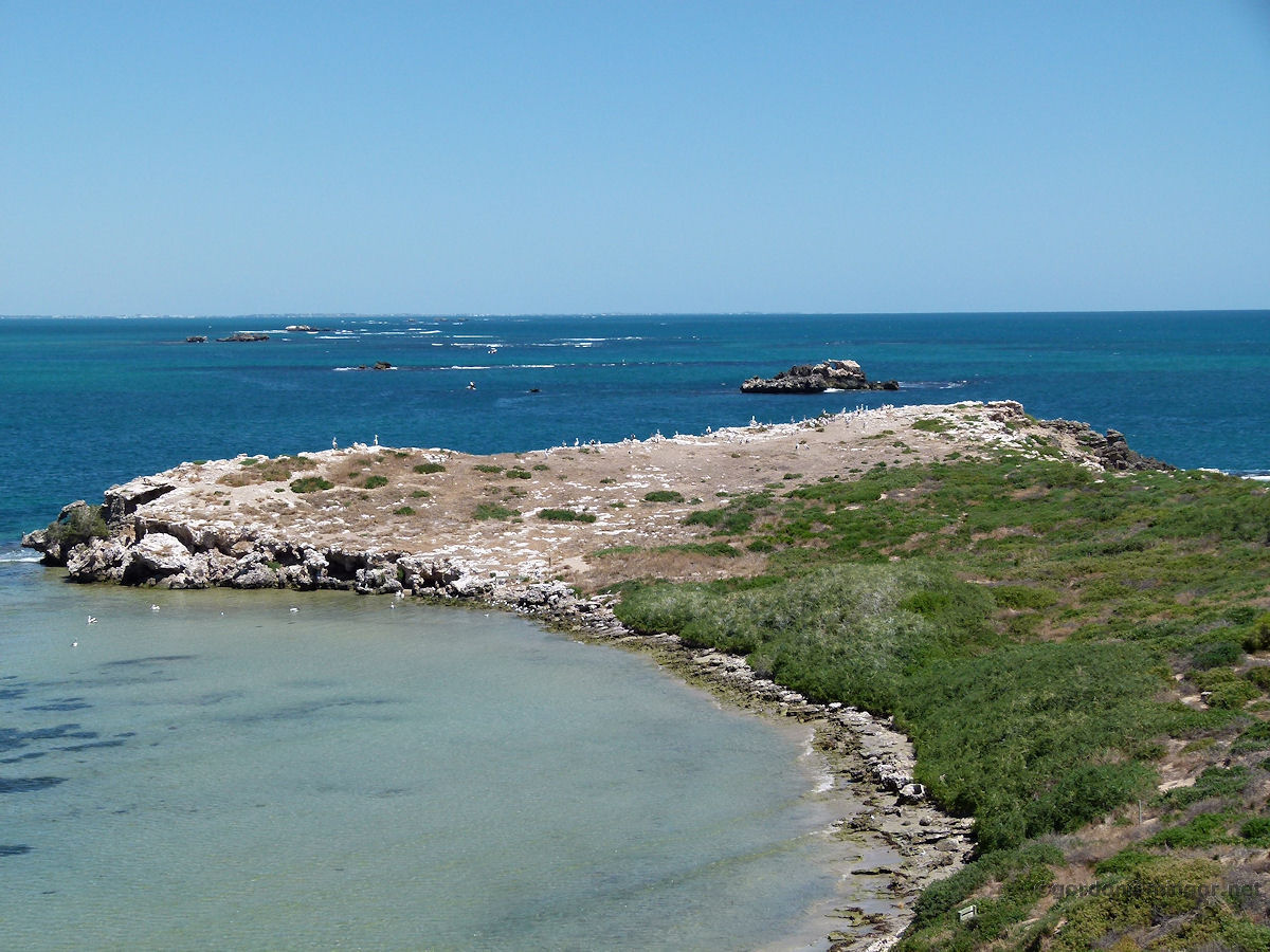 |
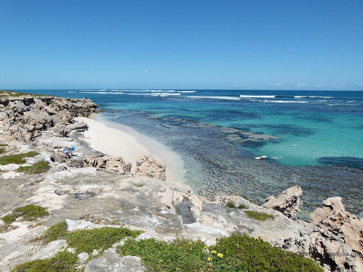
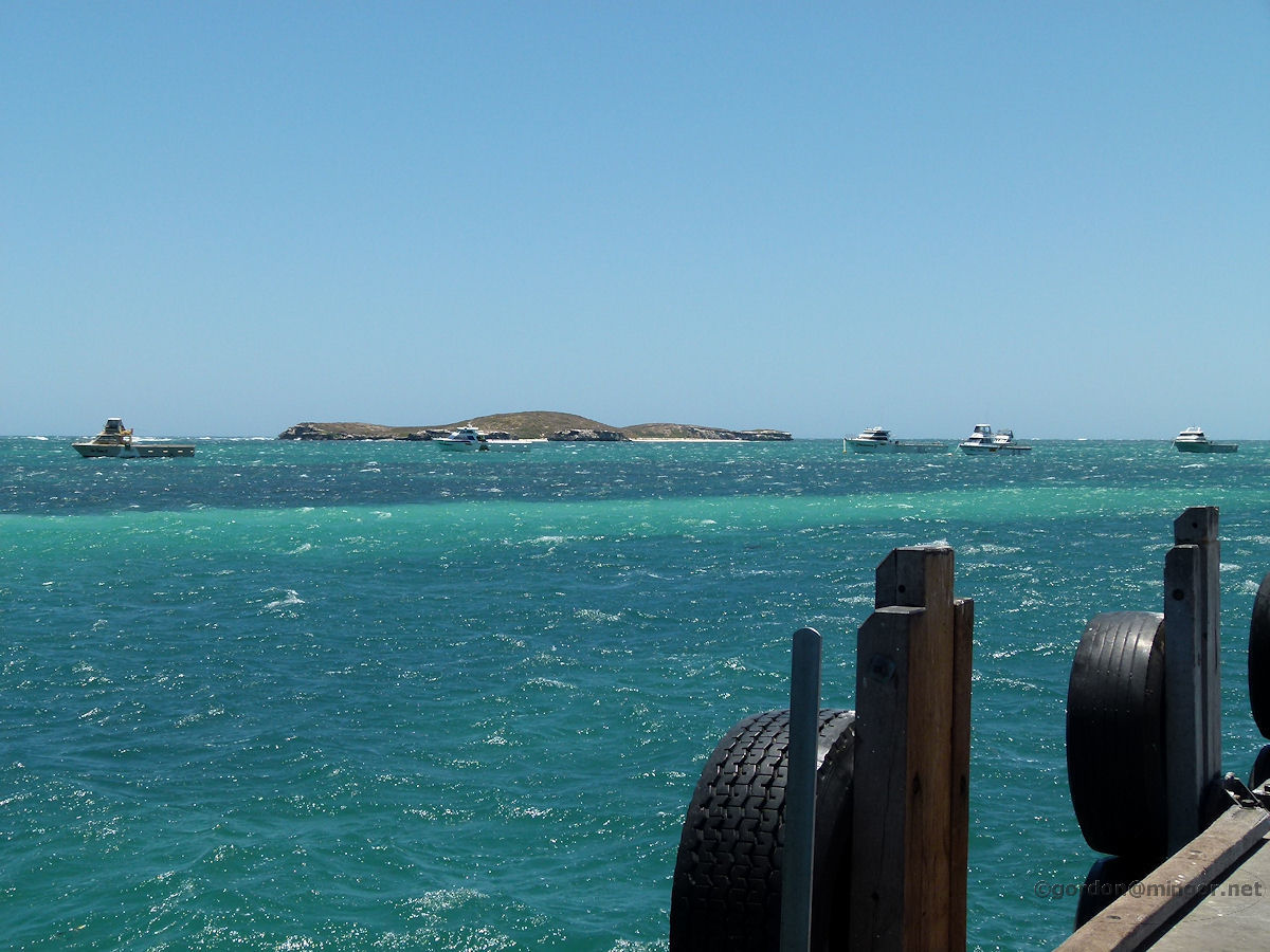
Penguin Island At the top of the Penguin Island lookout here is a fine view across the southern promontory of the island. As with its northern cousin, this headland provides a safe breeding ground for pelicans, seagulls etc. A sharp eye might glimpse Mandurah over on the horizon. Photo - February 2012 |
||
 |
Shoalwater These eagles keep a seagull eye .. noooo, that doesn't sound right .. these seagulls keep an eagle eye on the comings and goings around Warnbro Sound. Photo - August 2010 |
||
 |
Mandurah Up at Halls' Head in Mandurah, a brave windsurfer matches himself against the brisk autumn gusts that were prevailing this day. A little out to sea is a navigation marker and beacon. Photo - April 2013 |
||
 |
Dawesville A view from the ocean lookout at Dawesville. This is a view looking north along the beach. In the distance next to the breakwater is Pyramids Beach and the surf club. Photo - December 2011 |
||
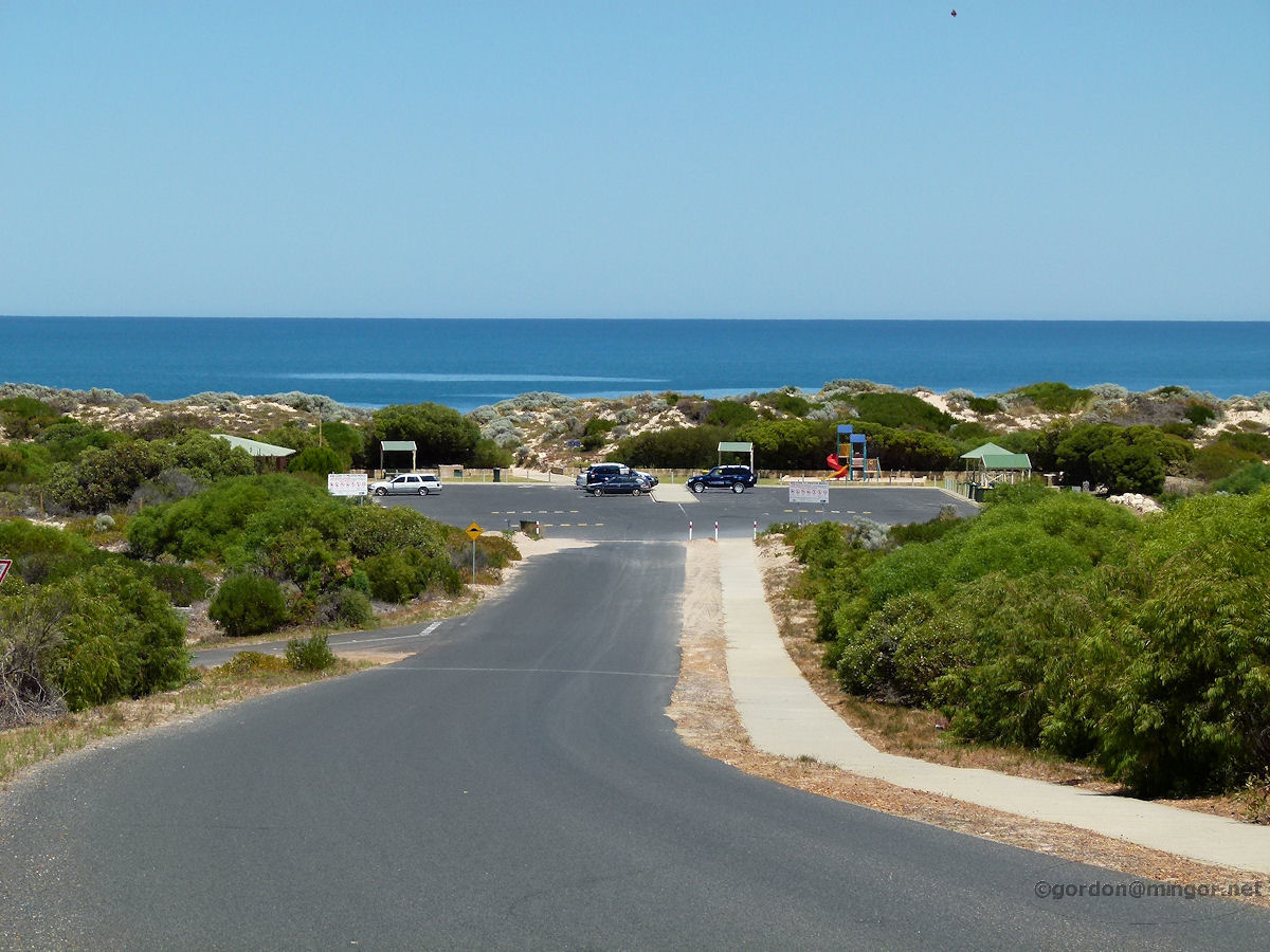 |
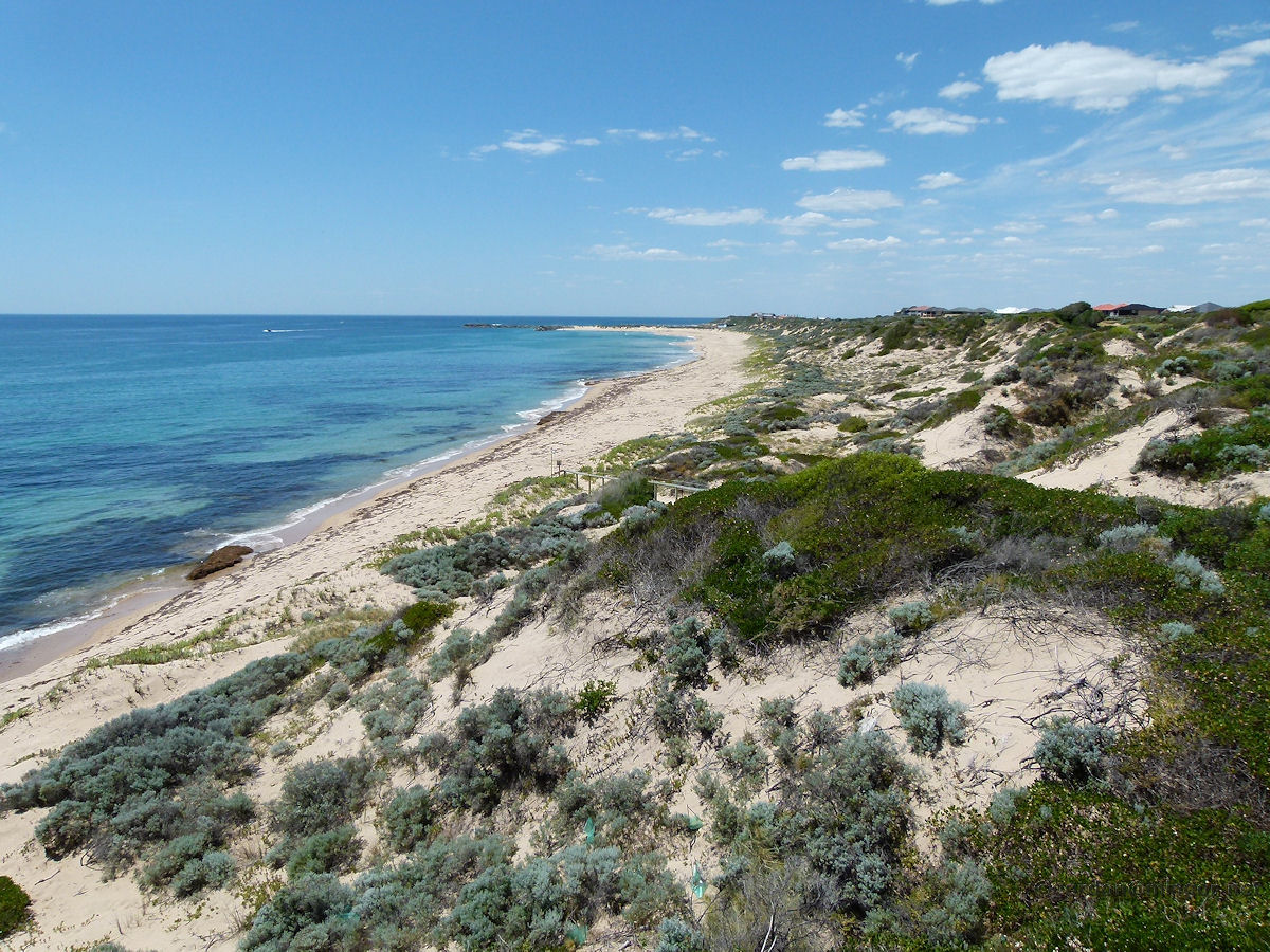
Preston Beach Here is a look at 'the end of the road'. Beyond the car park is Preston Beach and beyond that is the blue Indian Ocean. The road into Preston Beach crosses the head of Lake Preston which provides an interesting landscape. Photo - January 2012 |
||
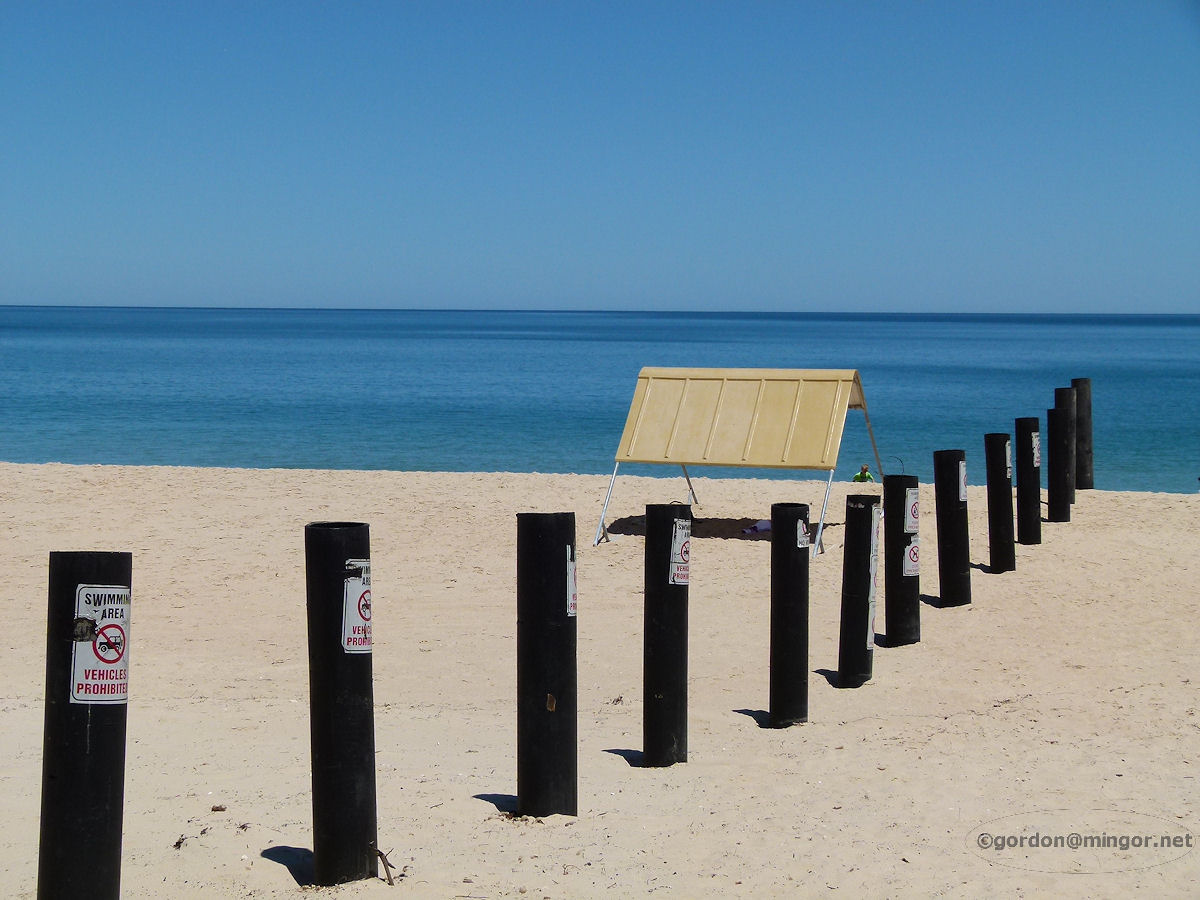 |
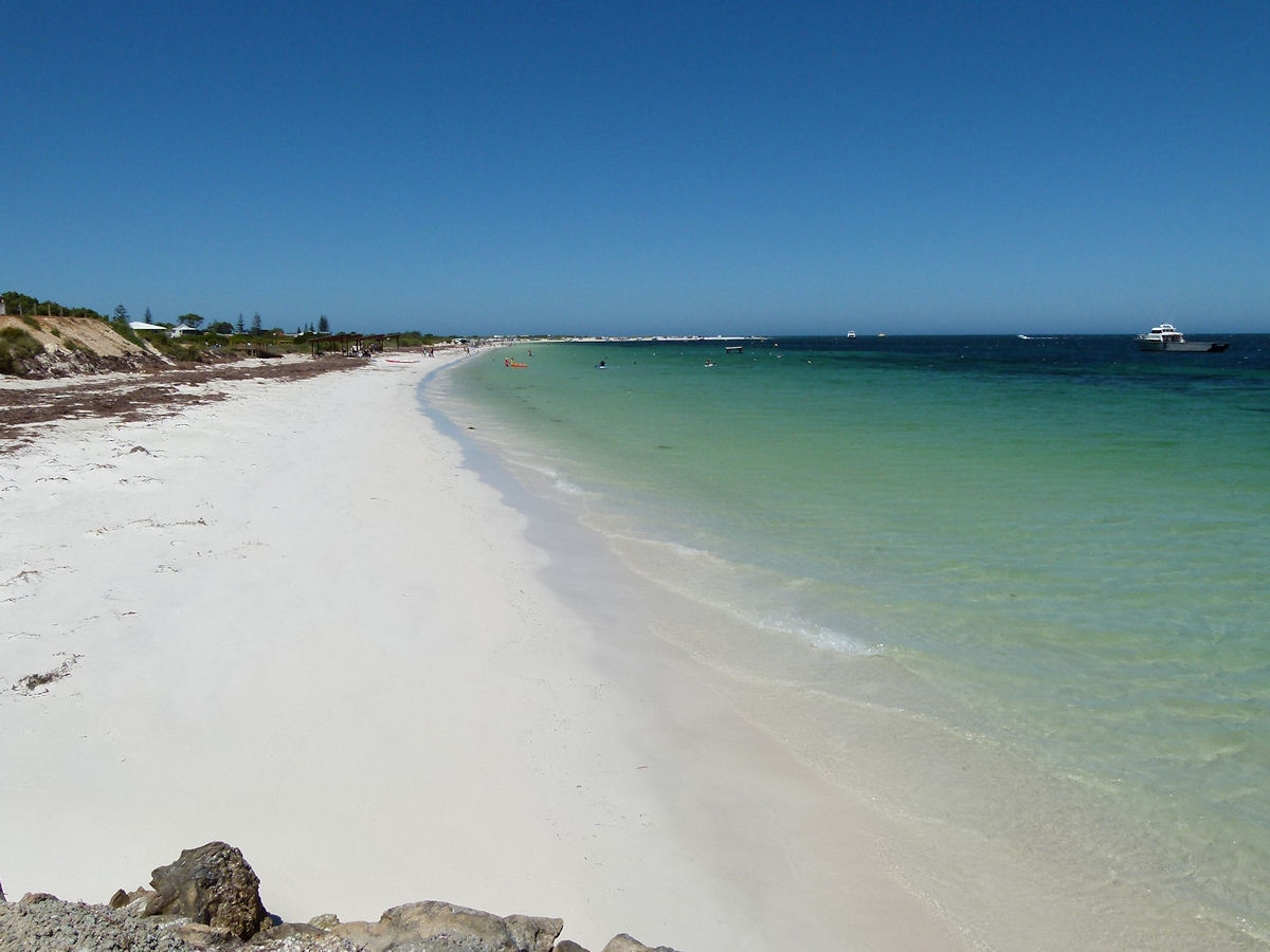
Myalup At Myalup beach, home of clean, blinding white sands and the beautifully coloured ocean. Myalup is a popular holiday destination. Photo - January 2012 |
||
 |
Binningup Binningup Beach. All the beaches along this bit of coast (in fact most West Australian coast) are clean and the water clear. Can you see Bunbury sticking up there on the horizon? Photo - January 2012 |
||
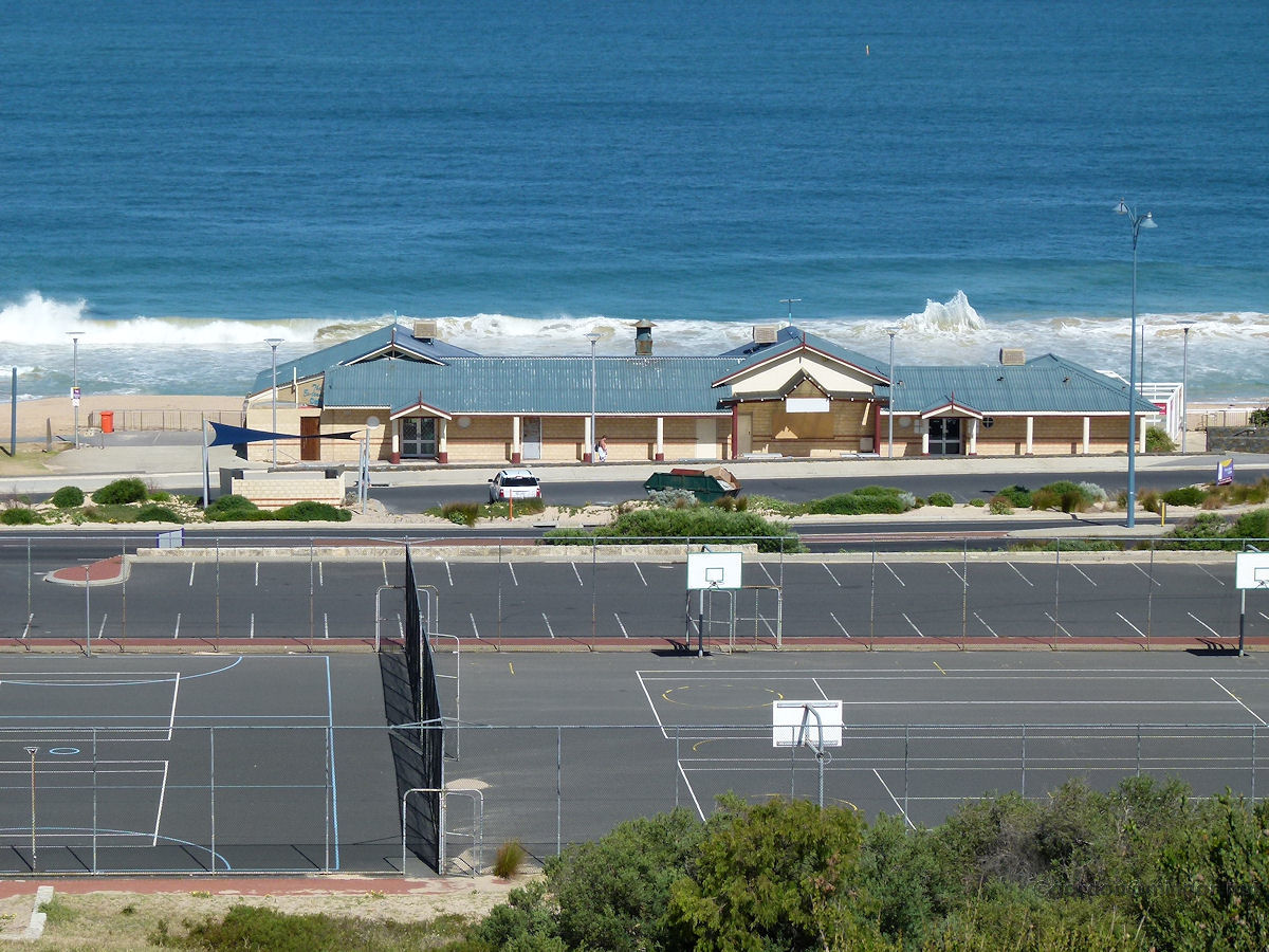 |
Bunbury Viewed from the High School, this is the Bunbury 'Back Beach'. You can see the surf club rooms. Photo - January 2013 |
||
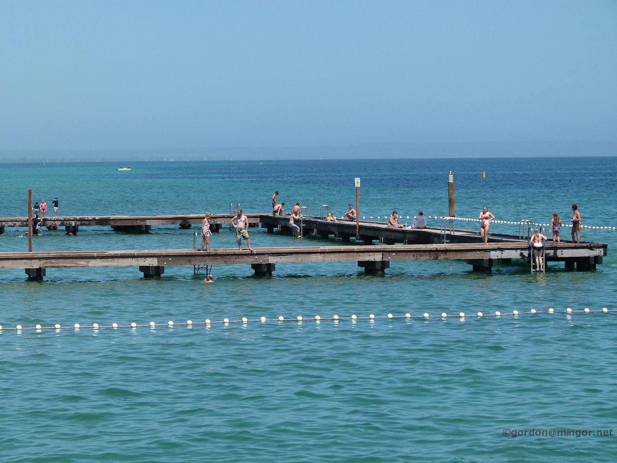 |
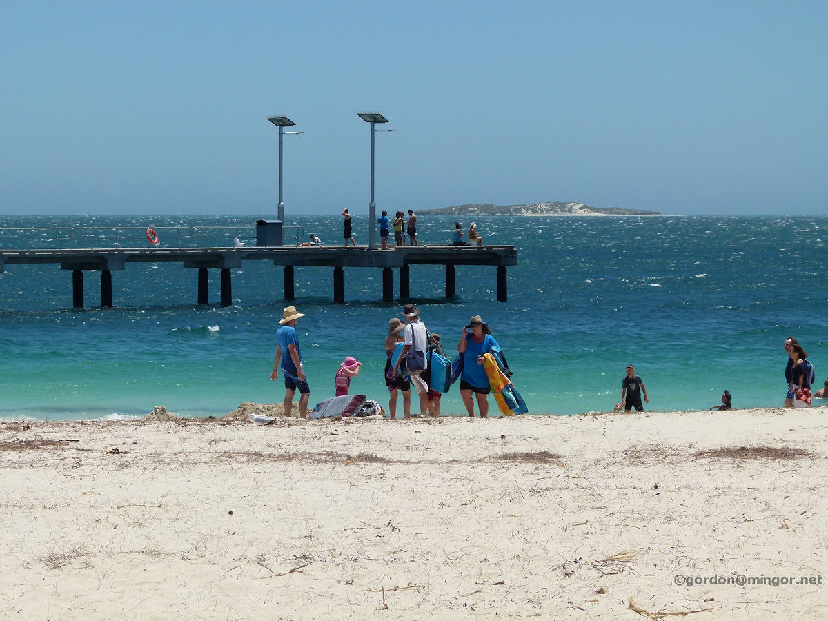
Busselton Calm, clear and shallow water of Geographe Bay makes for a great water playground. This is a view of part of the baths located alongside the Busselton jetty. Over on the horizon you can see the land sweeping around to the right, towards Cape Naturaliste. Photo - January 2013 |
||
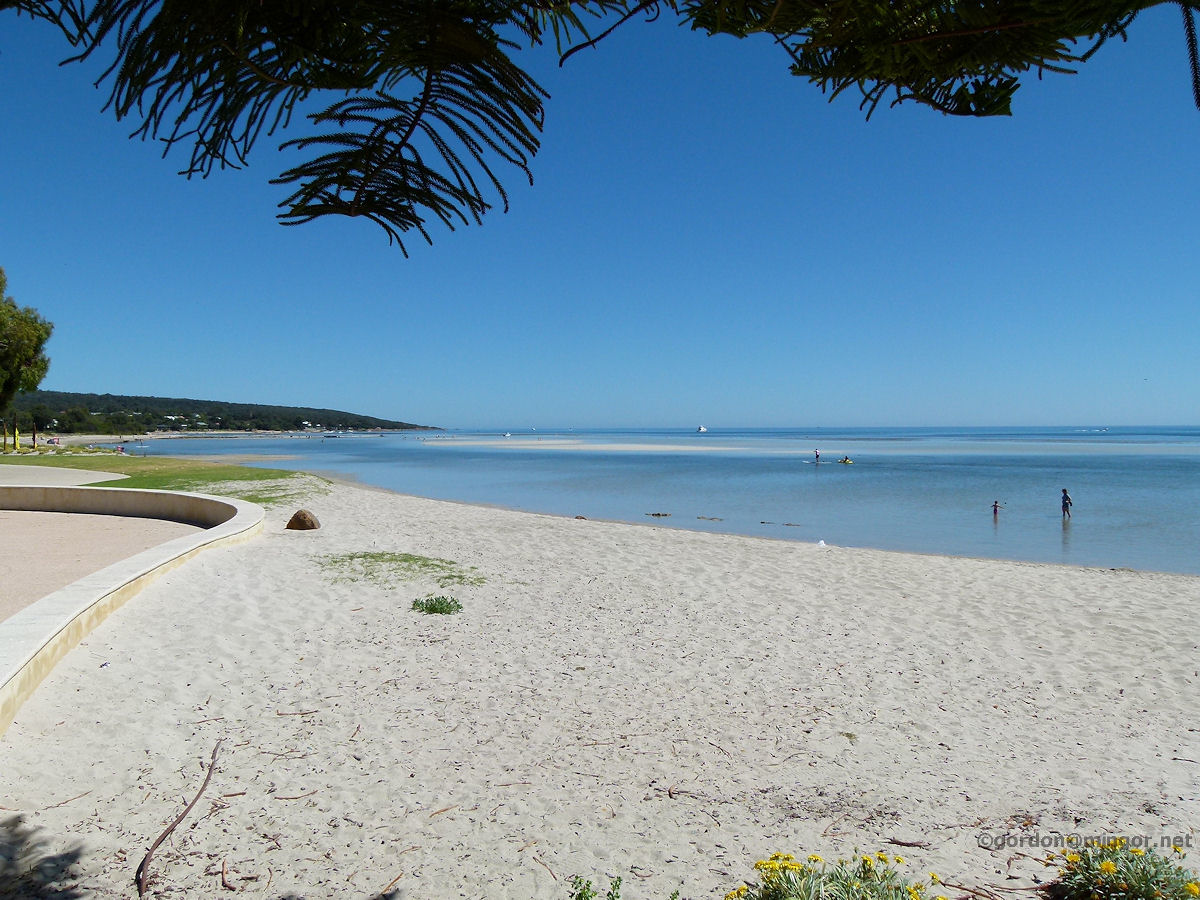 |
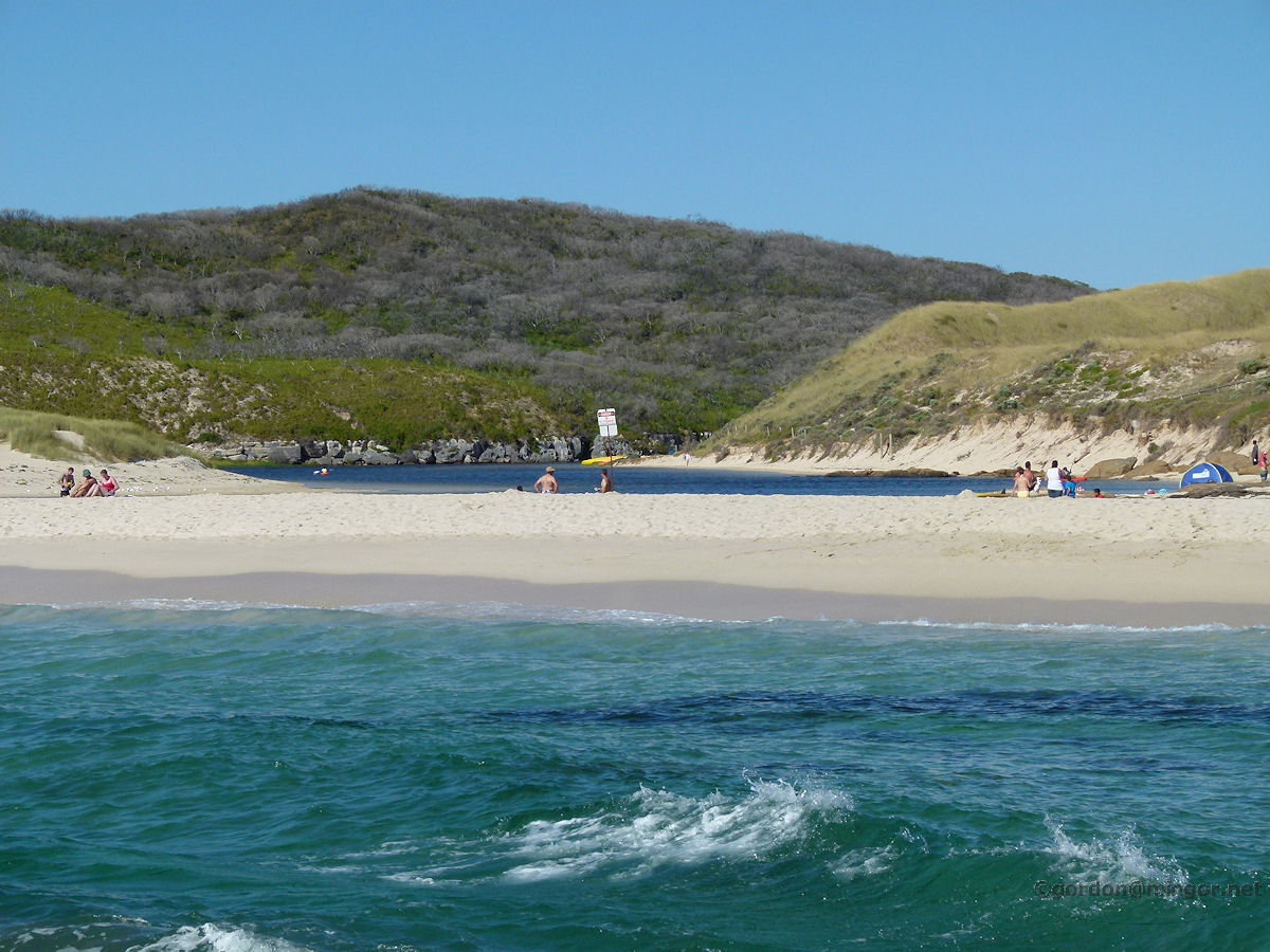
Dunsborough The safe waters of Dunsborough Beach right in town. In the distance Cape Naturaliste curves away protecting Geographe Bay. Photo - December 2013 |
||
 |
Cape Naturaliste A view down Cape Naturaliste to the south. Down that way is Yallingup. Photo - December 2013 |
||
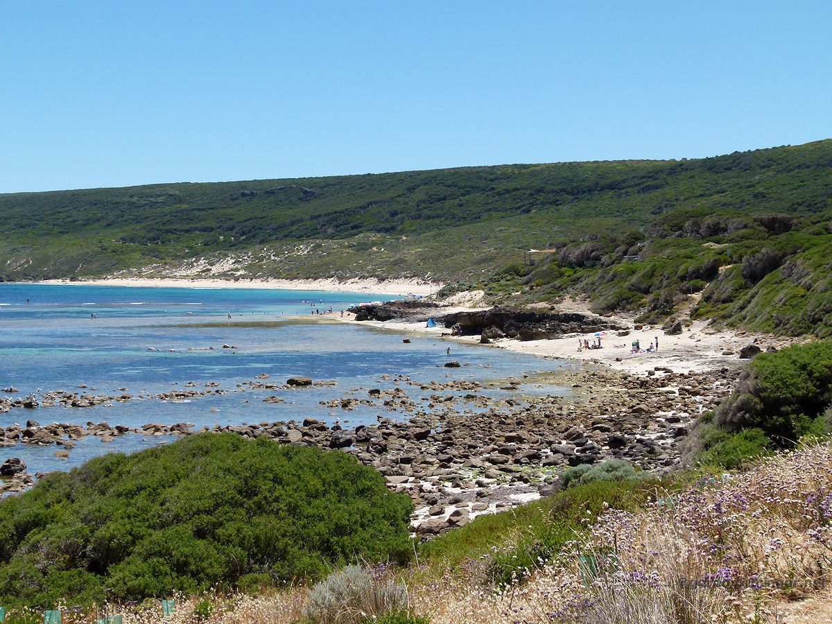 |
Yallingup This beach is the one closest to the town of Yallingup. Canal Rocks is 7-8 kilometres south of here. The bay forms a protected swimming area. Photo - December 2013 |
||
 |
Margaret River For most of the year the Margaret River mouth is blocked from the ocean by a sand bar. Here you can see a section of sea in the foreground and the Margaret River beyond the bar. The bar will break when the river rises and can produce a strong water surge into the ocean. Photo - December 2013 |
||
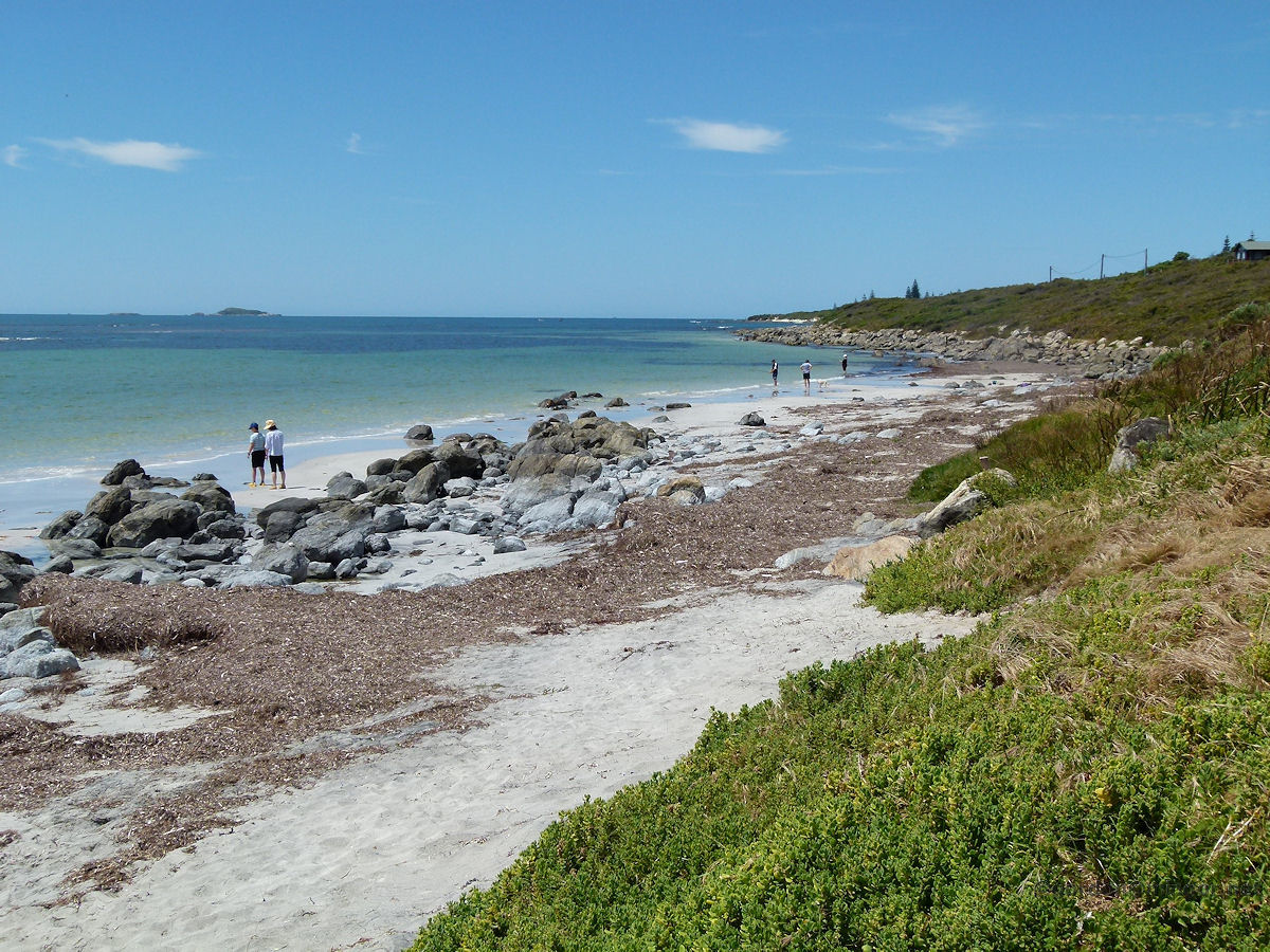 |
Augusta South of the townsite of Augusta is Flinders Bay. Here is a view looking south along the bay. This is the place where the first settlers came ashore from the Brig "Emily Taylor" on 2nd May, 1830. The Shire erected a memorial plaque here on 2nd May, 1980, 150 years later. Photo - December 2013 |
||
 |
Cape Leeuwin This is the tip of Cape Leeuwin, the most south-westerly point of Australia. On the left is the Southern Ocean and on the right is the Indian Ocean. Photo - December 2013 |
||
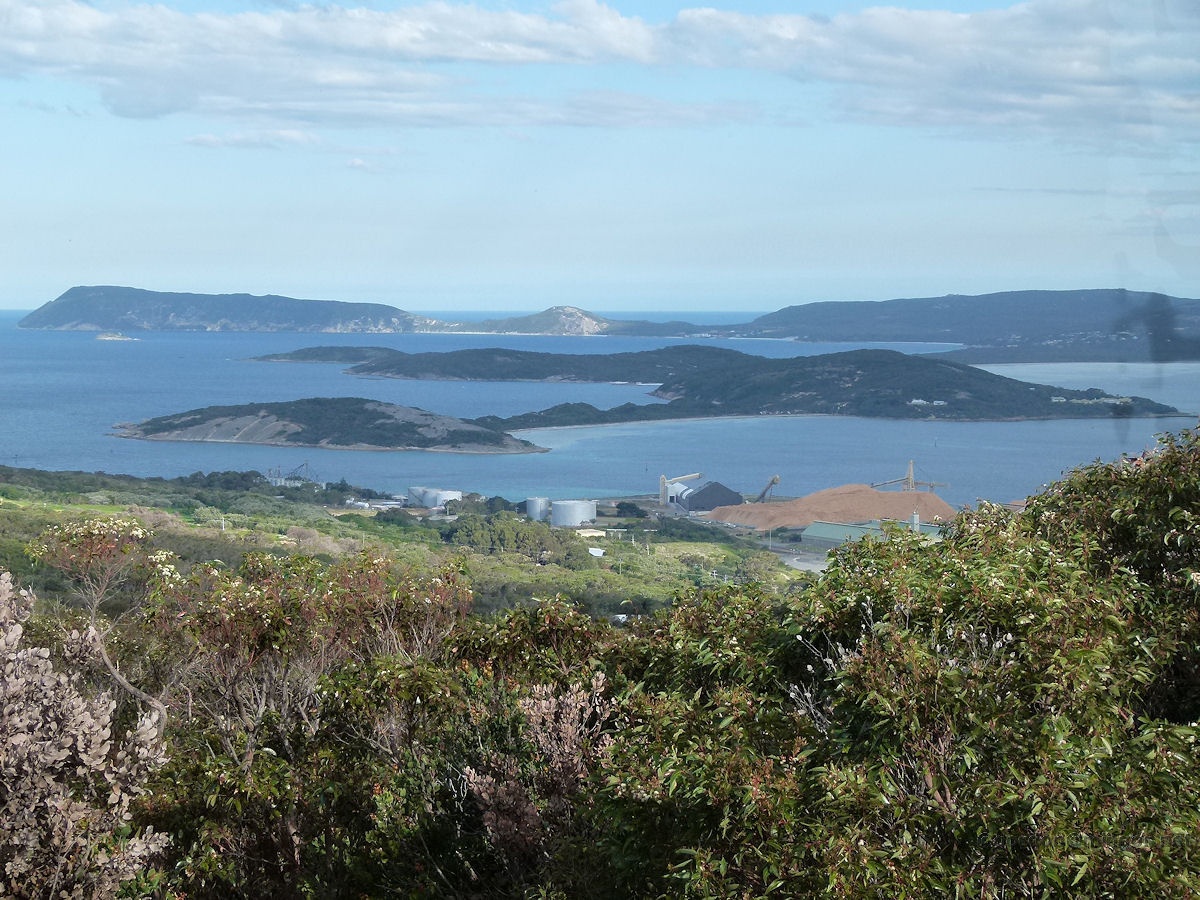 |
Albany A view across the harbour entrance channel from Mount Clarence. The channel connects King George Sound to Frenchman's Bay and Princess Royal Harbour. The channel is known as Ataturk Entrance. The land on the far side of the channel is Vancouver Peninsula. Photo - October 2014 |
||
 |
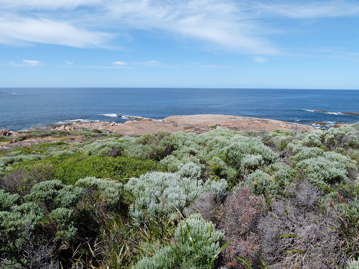
Albany Looking north from near the Natural Bridge along magnificent coastline. All of this area is within the Torndirrup National Park. Photo - October 2014 |
||
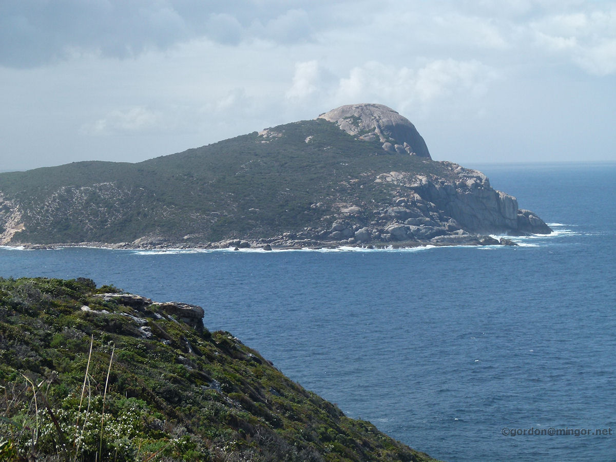 |
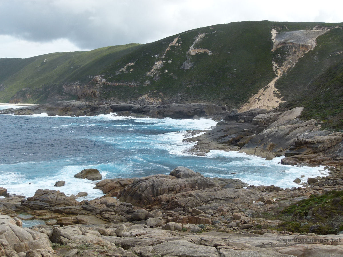
Albany A magnificent rocky knoll to the east of the blow holes on the coast south of town. The top looks like one single, very large rock. You won't find much more grand coastline than this is the south of WA. Photo - October 2014 |
||
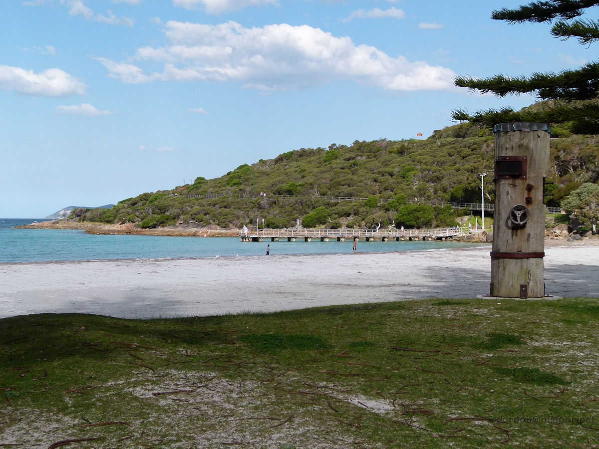 |
Albany East of the Albany town centre and at the end of Middleton Beach Road is Middleton Beach. This is at the head of King George Sound and offers a fairly safe and sheltered swimming shoreline. Photo October 2014 |
||
All images published on this website are copyright © of the webmaster. See About section for clarification and special schools permission |
|||