| Photographs of Perth, Western Australia | |||
Badgebup - Photographs of Western Australia This very small locality is situated on the Katanning - Nyabing Road. Although the town was gazetted around 1923, it never took off. The townsite was established here as a stopping point on the Katanning - Nyabing railway. First the name Badjebupp was proposed but the town was actually gazetted under its current name. The name changed to Nalabup in 1923 then back to Badgebup again later on in that same year. The town is named after a local spring. |
|||
| West to Katanning | East to Nyabing | ||
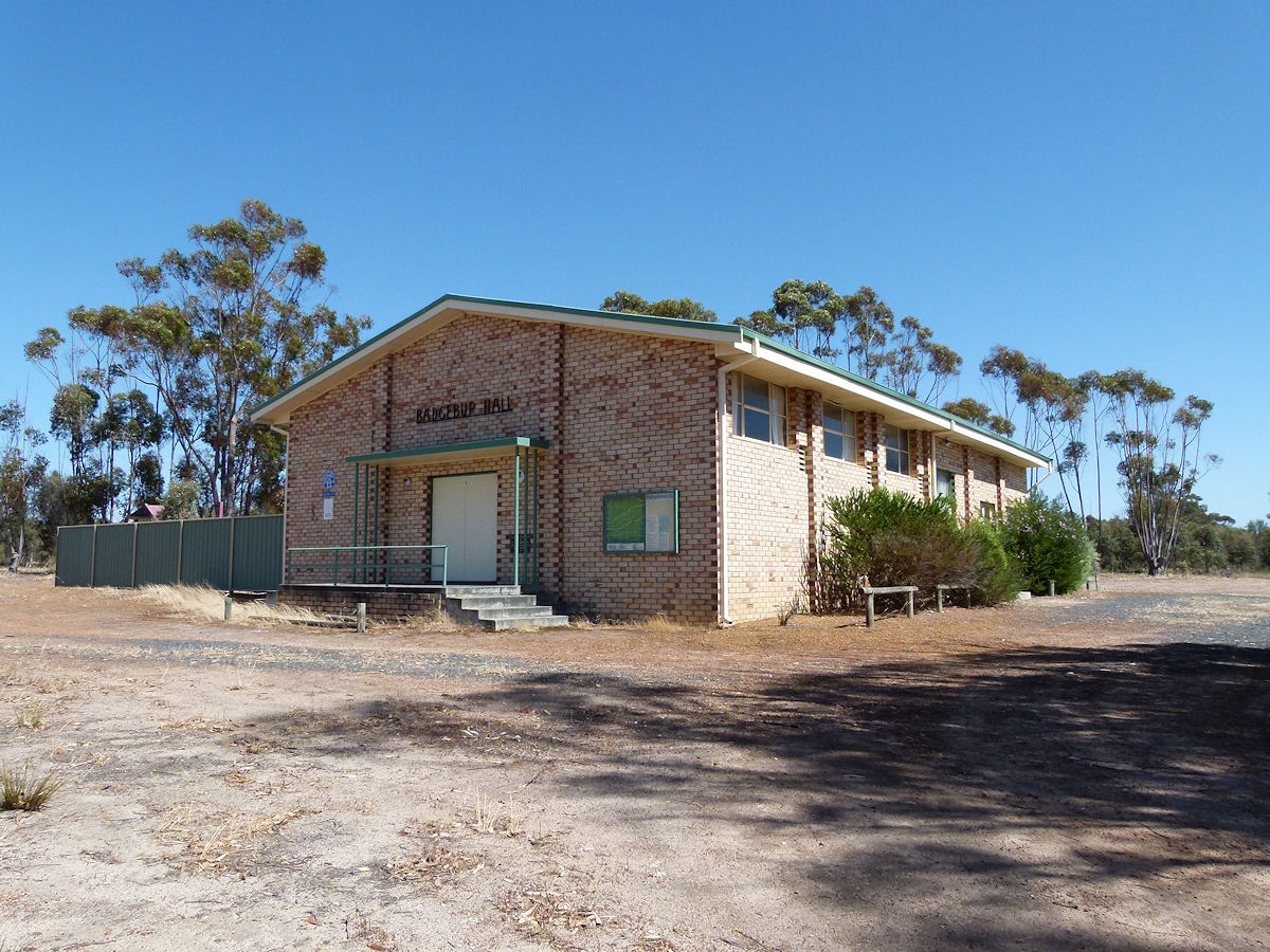 |
Badgebup - Hall The local hall which was opened by the President of the Katanning Shire Council, A. R. Kiddie Esq, in 1965. December 2016. Photos Ref: BDGP001 |
||
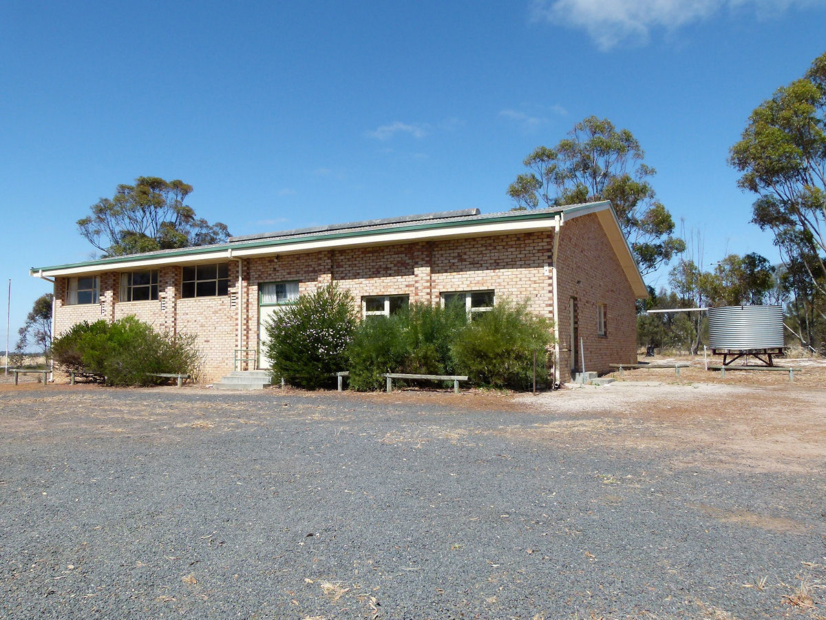 |
Badgebup - Hall This is a side and rear view of the hall. December 2016. Photos Ref: BDGP002 |
||
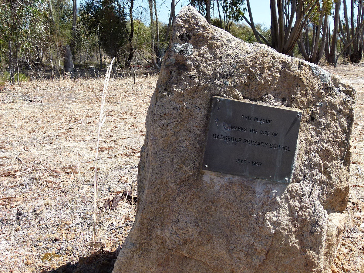 |
Badgebup - School Site To the left side of the hall, as seen from the main road, is this monument marking the location of the old primary school 1920 - 1947. December 2016. Photos Ref: BDGP003 |
||
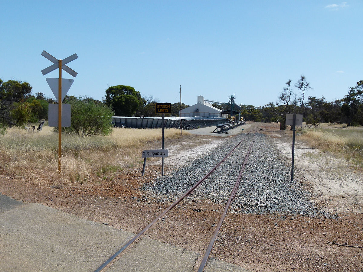 |
Badgebup - Railway The railway runs in from Katanning but it doesn't look to be in use anymore or run further east of here. December 2016. Photos Ref: BDGP004 |
||
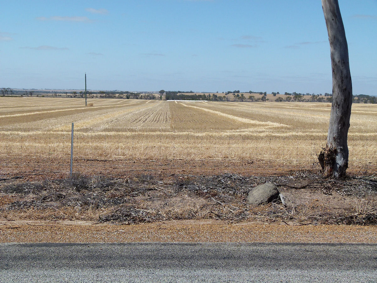 |
Badgebup - Paddock All around the district the sight is the same. Very recently harvested wheat fields. They seemingly go on forever. December 2016. Photos Ref: BDGP005 |
||
All images published on this website are copyright © of the webmaster. See About section for clarification and special schools permission |
|||