| Photographs of Perth, Western Australia | |||
Nyabing - Photographs of Western Australia The township of Nyabing is approx. 320 kilometres south-east of Perth and almost halfway between Katanning and Pingrup. The townsite emerged from a rail siding called Nampup which was established in 1911. Straight away there were complaints that the name was too similar to Nannup . The names Narrara, Wingar and Naiabing were all proposed. Naiabing was selected but the spelling was altered to Nyabing and this name was adopted in 1912 |
|||
| North to Dumbleyung | East to Pingrup | ||
| West to Badgebup | |||
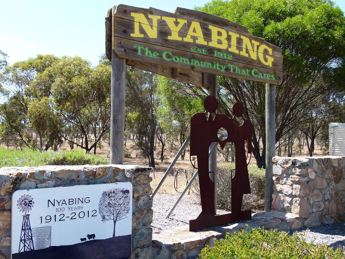 |
Nyabing - Welcome Sign Welcome to Nyabing, established 1912. The Community that Cares. December 2016. Photos Ref: NYAB001 |
||
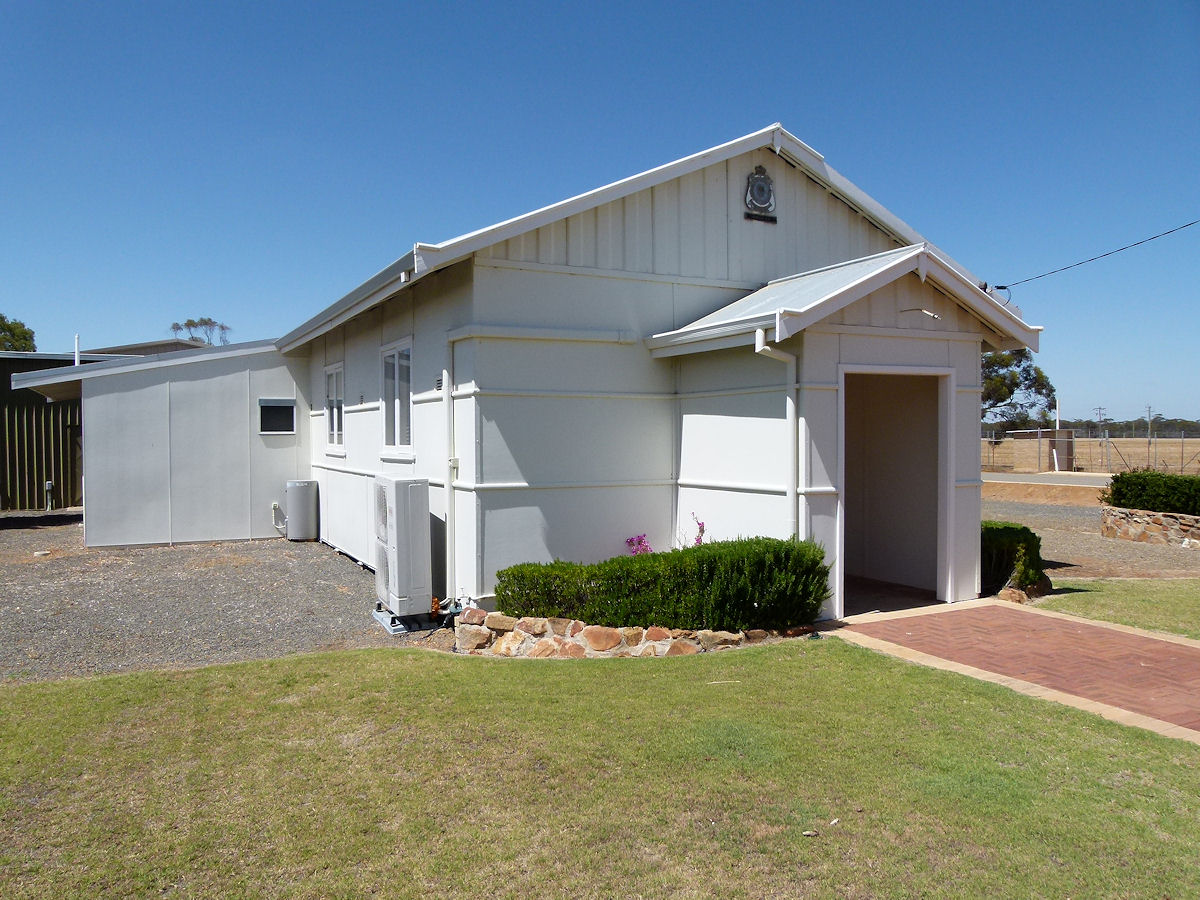 |
Nyabing - RSL Hall The very smart RSL Hall on the main street, Richmond Street. This was erected in 1965. December 2016. Photos Ref: NYAB002 |
||
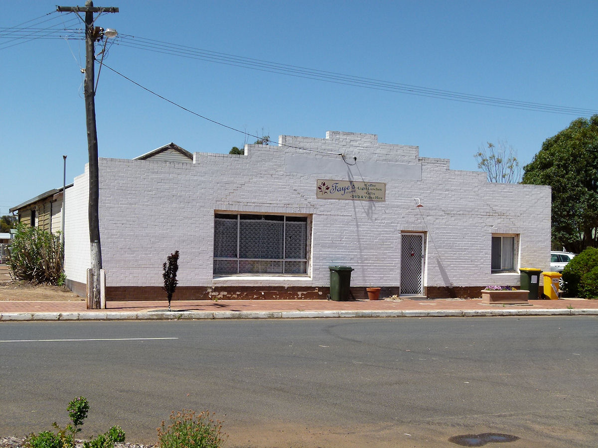 |
Nyabing - Fayes This is currently Faye's Coffee, Light Lunch and Giftware shop. By process of elimination it seems that this is the 1914 general store which was once known as Gannaway's. The brick frontage would be recent. You can see earlier structures behind the bricks. December 2016. Photos Ref: NYAB003 |
||
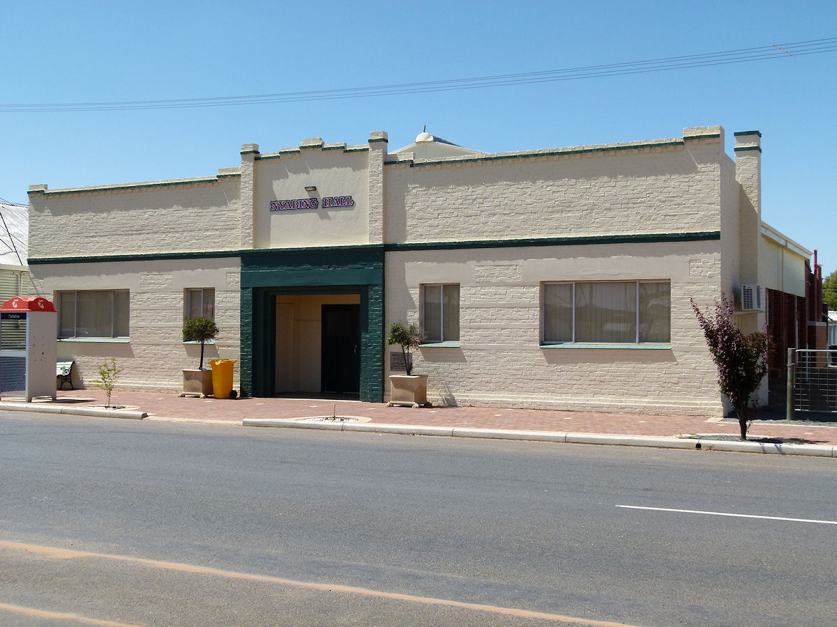 |
Nyabing - Hall This building is the third Agricultural Hall erected in 1960. Two others pre-dated this building on this site. December 2016. Photos Ref: NYAB004 |
||
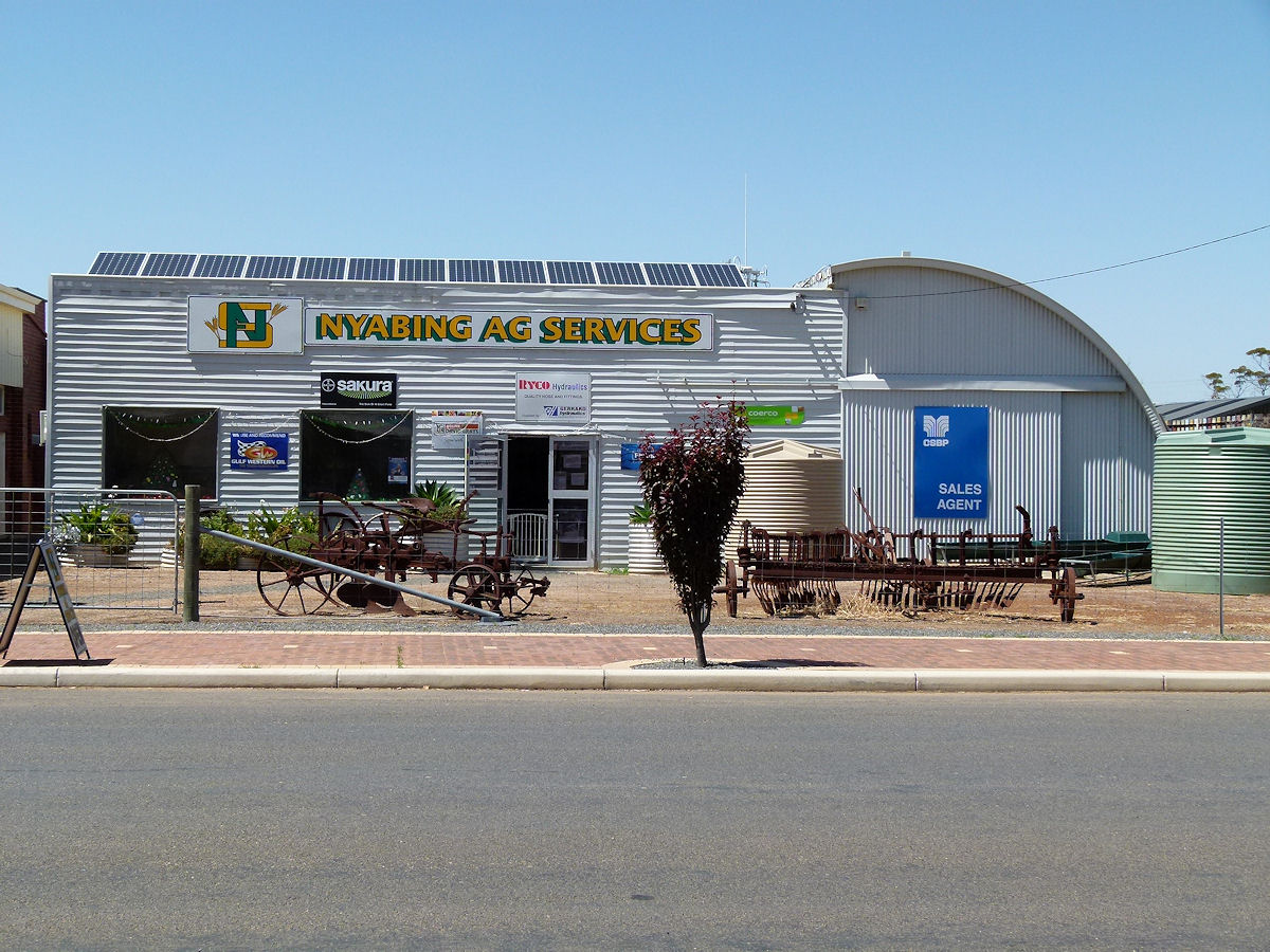 |
Nyabing - Ag Services The very neat and colourful Ag Services business on the main street. Good design lines. December 2016. Photos Ref: NYAB005 |
||
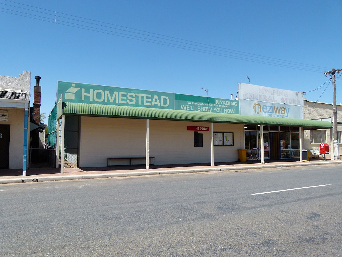 |
Nyabing - Shops The local Homestead and Eziway Store on the main street. December 2016. Photos Ref: NYAB006 |
||
 |
Nyabing - Hotel On Richmond Street next to the shops. This is the Nyabing Hotel. It was built in 1919. Part of the building was once a boarding house. December 2016. Photos Ref: NYAB007 |
||
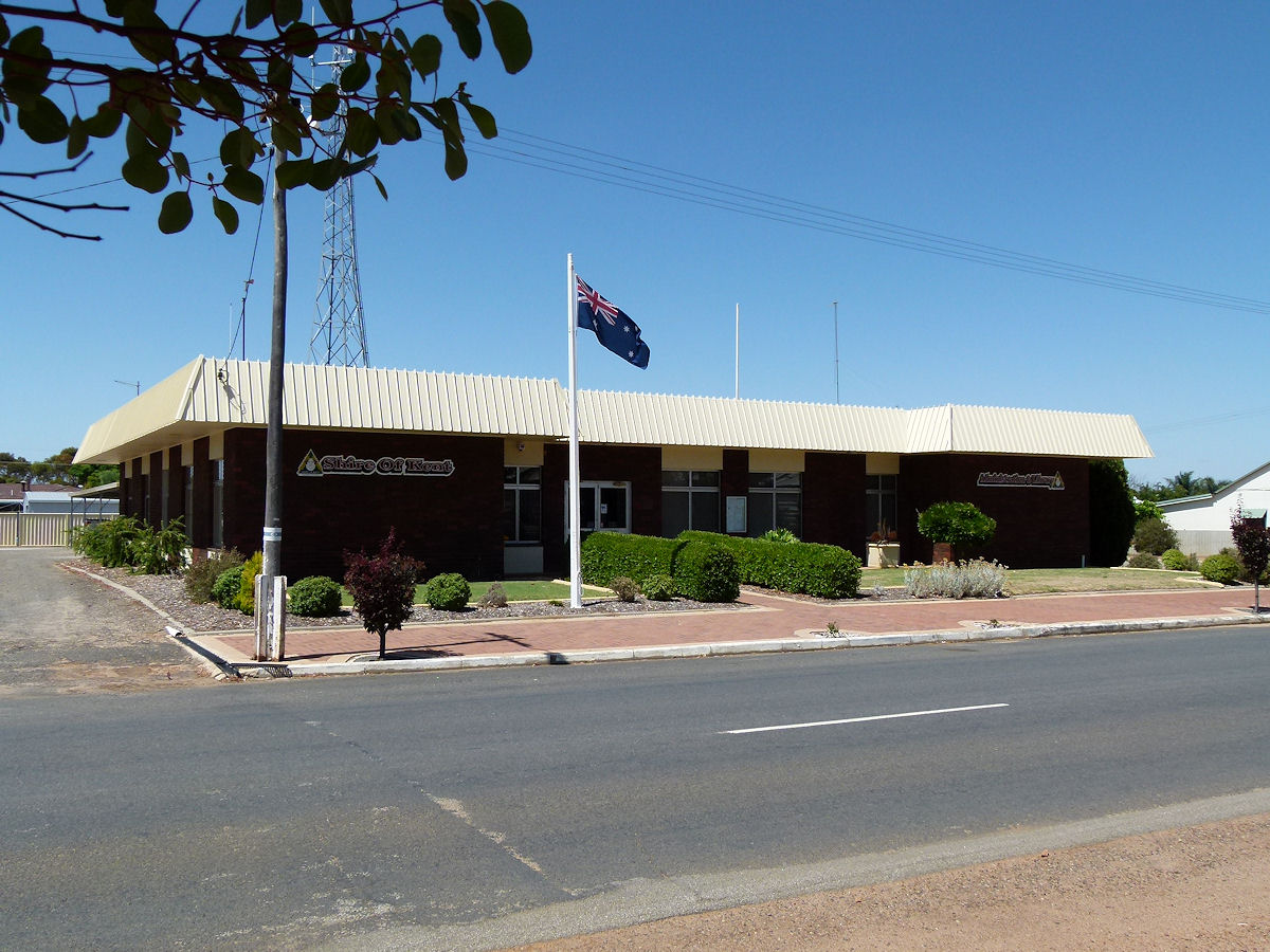 |
Nyabing - Shire of Kent The Shire of Kent administration centre on Richmond Street. December 2016. Photos Ref: NYAB008 |
||
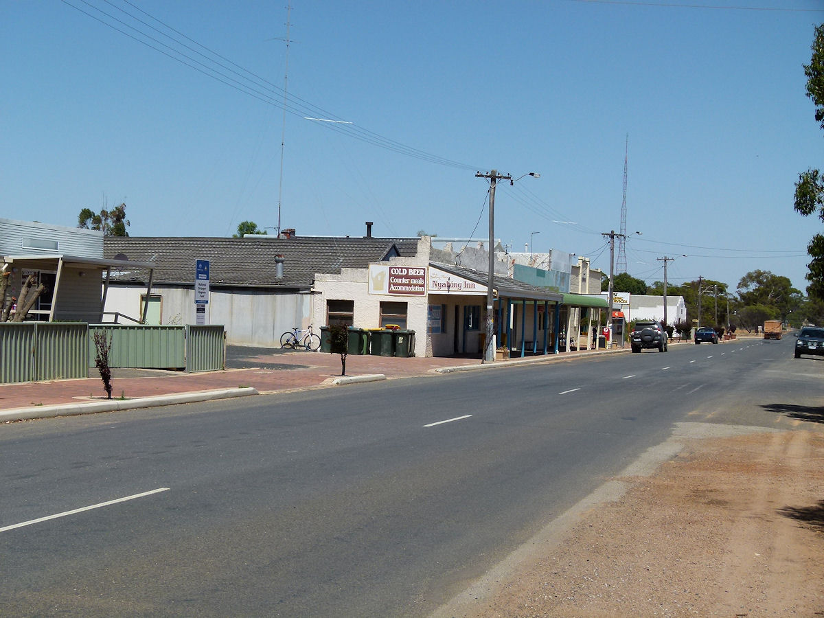 |
Nyabing - Richmond Street Looking west along Richmond Street. Closest is the hotel followed by Eziway, the hall, Ag Services and finally Fayes. The RSL Hall is just out of view beyond Faye's. December 2016. Photos Ref: NYAB009 |
||
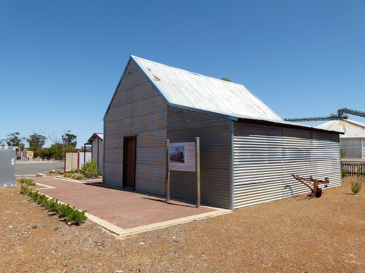 |
Nyabing - Settlers Hall On the wheat bins side of Richmond Street is the old Settlers Hall built in 1915. This was the town's school from 1915 to 1923 and then the Road Board Office. It has also been used as a Hall and Church. It was moved from its original Martin Street location to here in 2008. December 2016. Photos Ref: NYAB010 |
||
 |
Nyabing - Christian Fellowship Church The Nyabing All Saints Community Church, constructed in 1966 - 1967. December 2016. Photos Ref: NYAB011 |
||
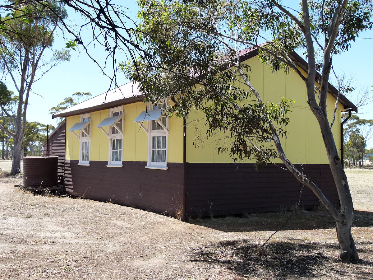 |
Nyabing - Old School The second Nyabing Primary School, 1924 - 1963, sits alongside Bourke Street. An earlier school was constructed in 1912 but this soon became too small. December 2016. Photos Ref: NYAB012 |
||
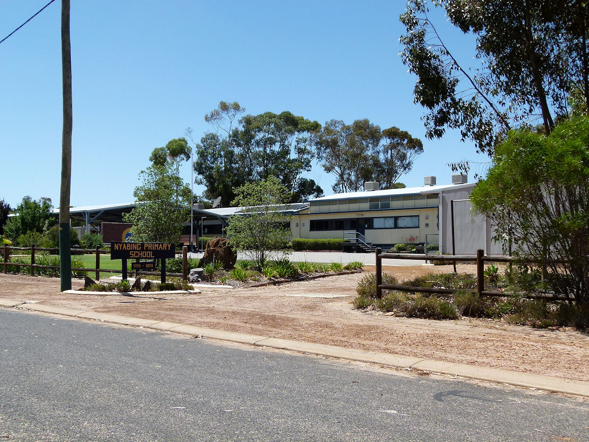 |
Nyabing - Primary School The current Nyabing Primary School looks extremely smart. The gardens are immaculate. December 2016. Photos Ref: NYAB013 |
||
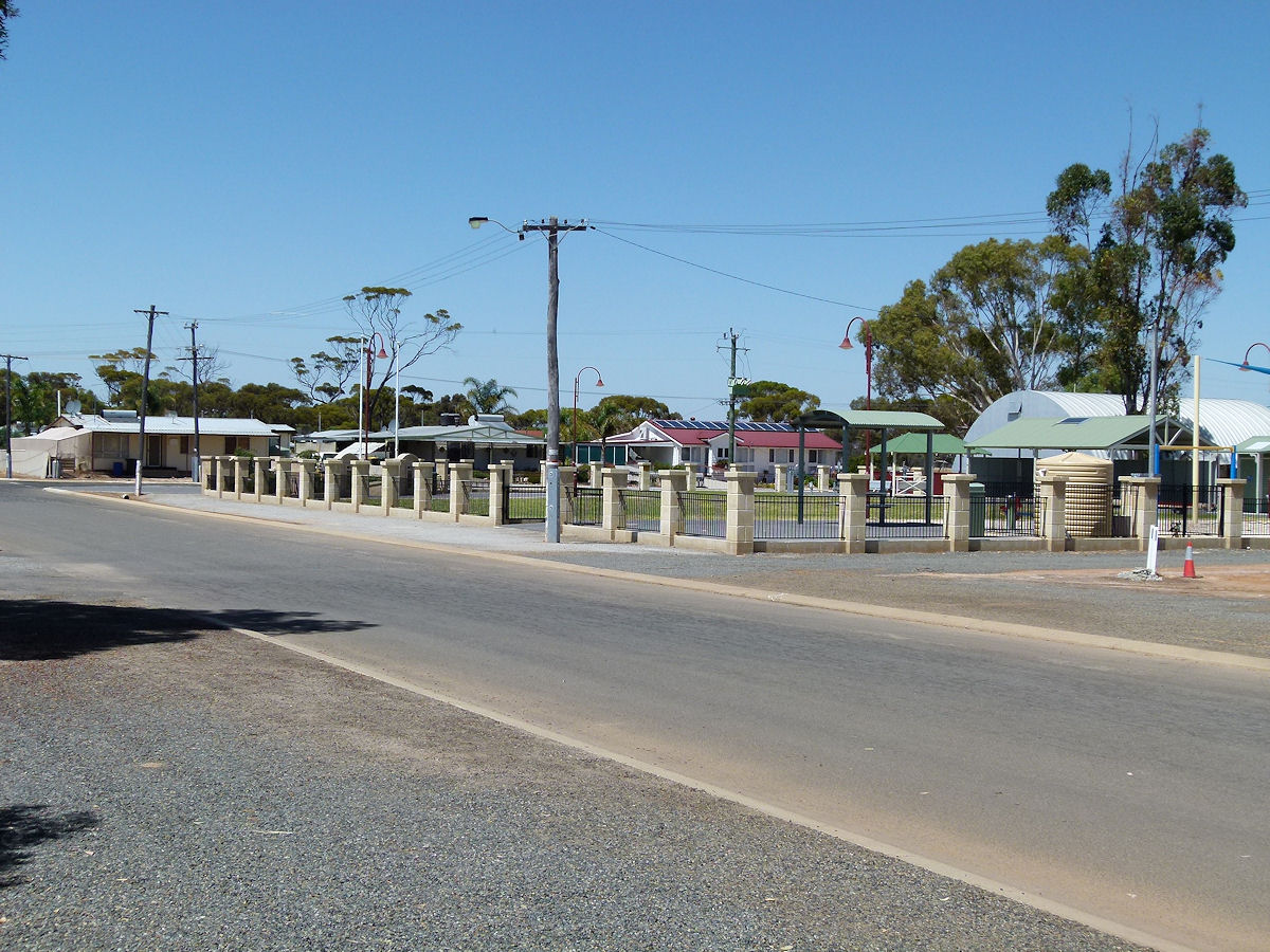 |
Nyabing - Street Scene Crisp, clean and spacious streets away from the main thoroughfare provide a fenced in park/playground and neat houses. December 2016. Photos Ref: NYAB014 |
||
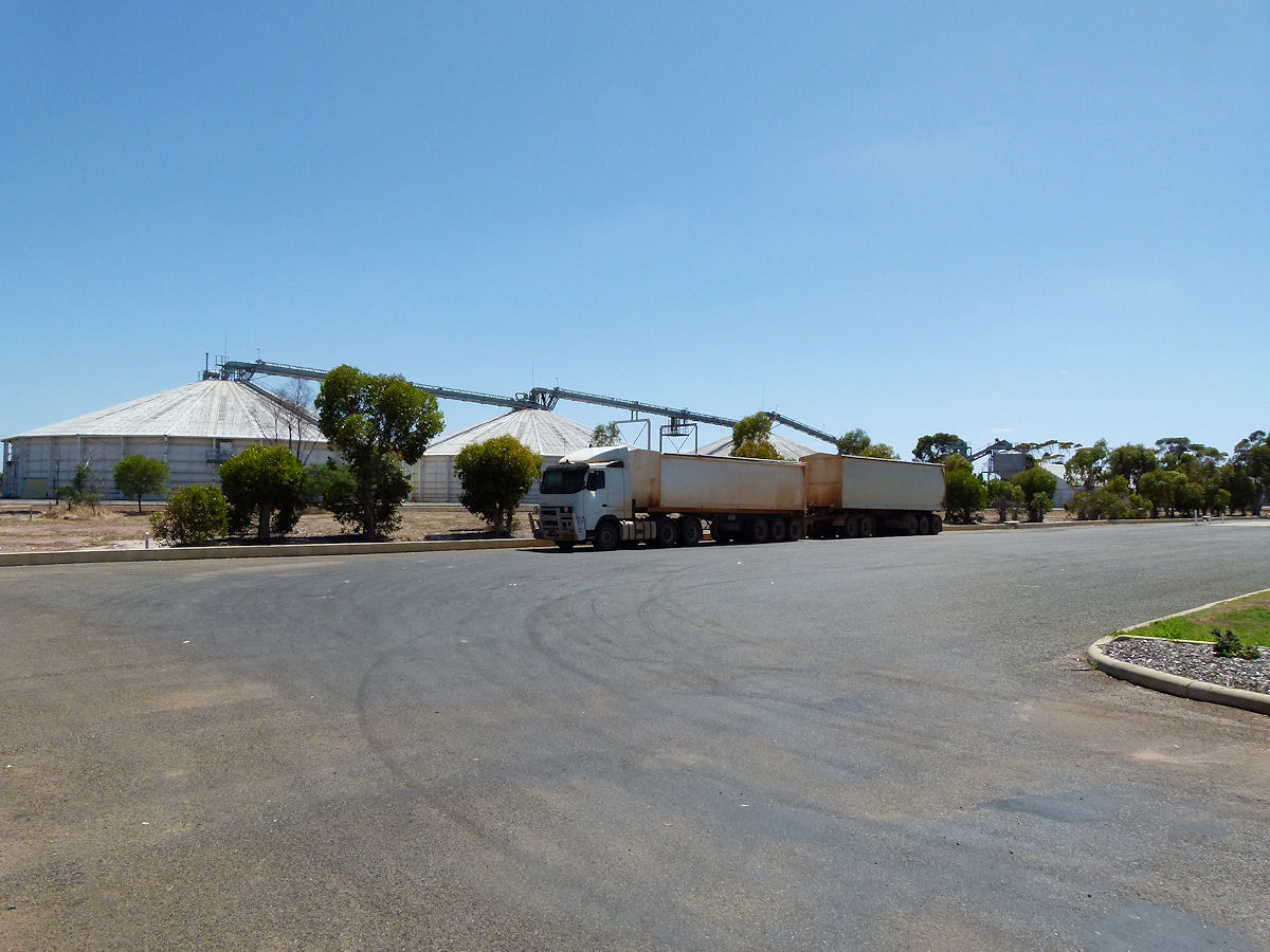 |
Nyabing - Wheat Bins This place is really busy at this time of year with endless road trains such as the one pictured carting newly harvested wheat from the farms to this storage facility. December 2016. Photos Ref: NYAB015 |
||
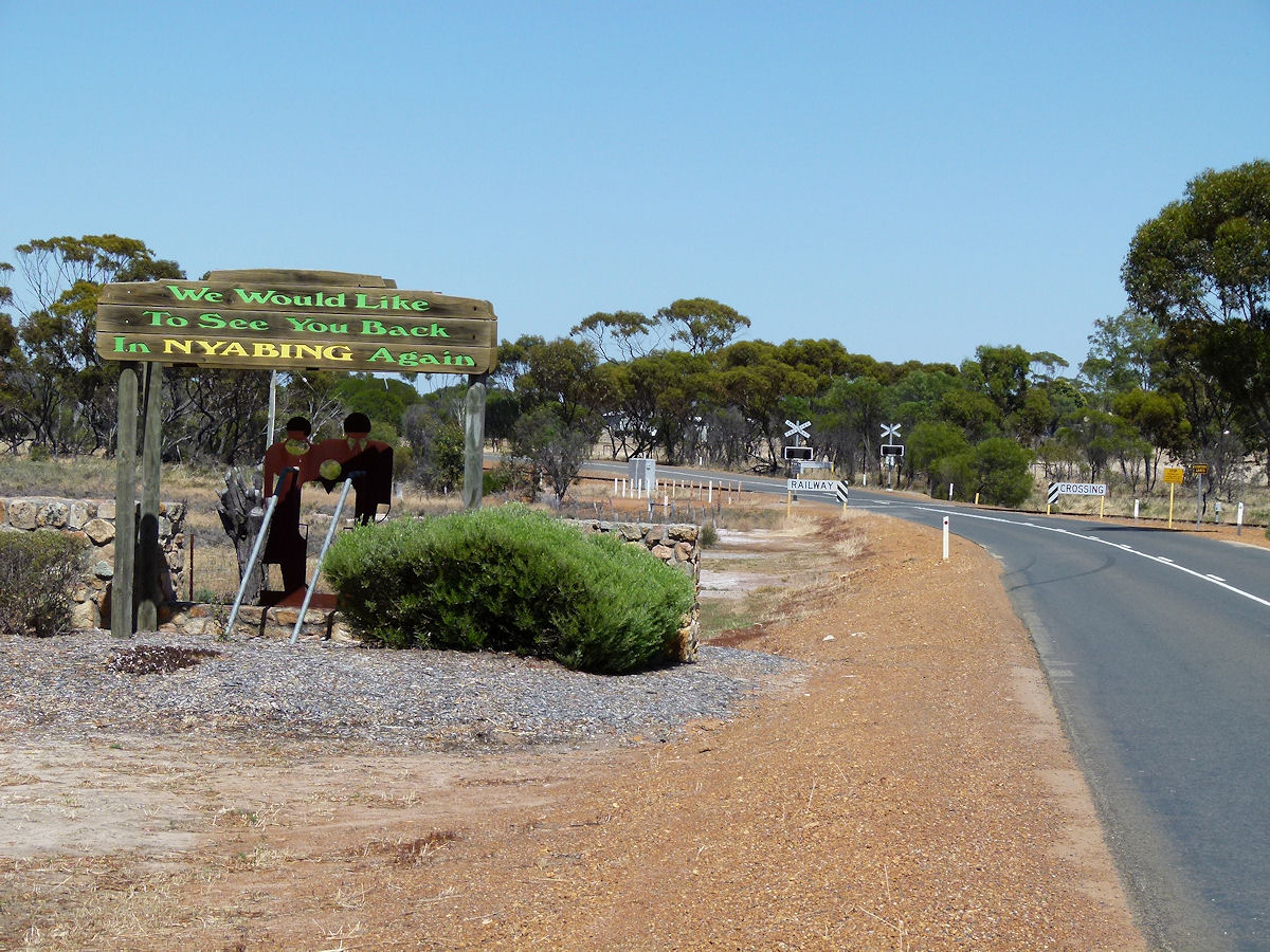 |
Nyabing - Goodbye The reverse side of the Nyabing welcome sign is worth showing. December 2016. Photos Ref: NYAB016 |
||
All images published on this website are copyright © of the webmaster. See About section for clarification and special schools permission |
|||