| Photographs of Perth, Western Australia | |||
Williams - Photographs of Western Australia At 160 kms south of Perth, this is the first major town on the Albany Highway travelling south towards Albany. Settlement commenced in the 1830's but development was slow. Convicts built the highway to Albany including the bridge over the Williams River (discovered by Bannister in 1831). Construction of the hotel and public buildings followed. The town was gazetted in 1897 and is named after King William IV (crowned 1831), by Governor Stirling |
|||
| North to Bannister | South to Arthur River | ||
| West to Quindanning | East to Narrogin | ||
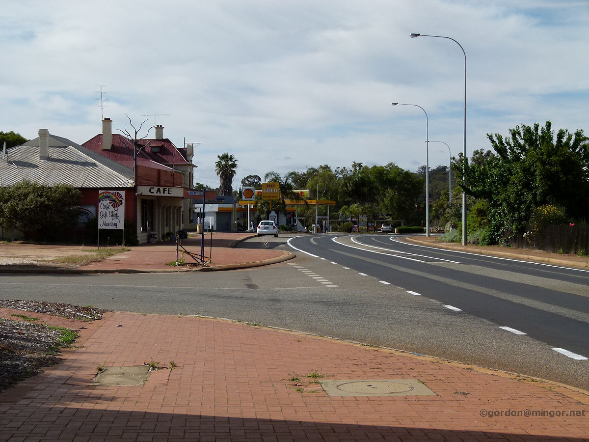 |
Williams - Albany Highway A view looking south down Albany Highway. You can see the cafe, a sliver of the hotel, and the garage. Beyond those is the Williams River and trotting track, and then on to Arthur River. November 2011. Photos Ref: WLLM001 |
||
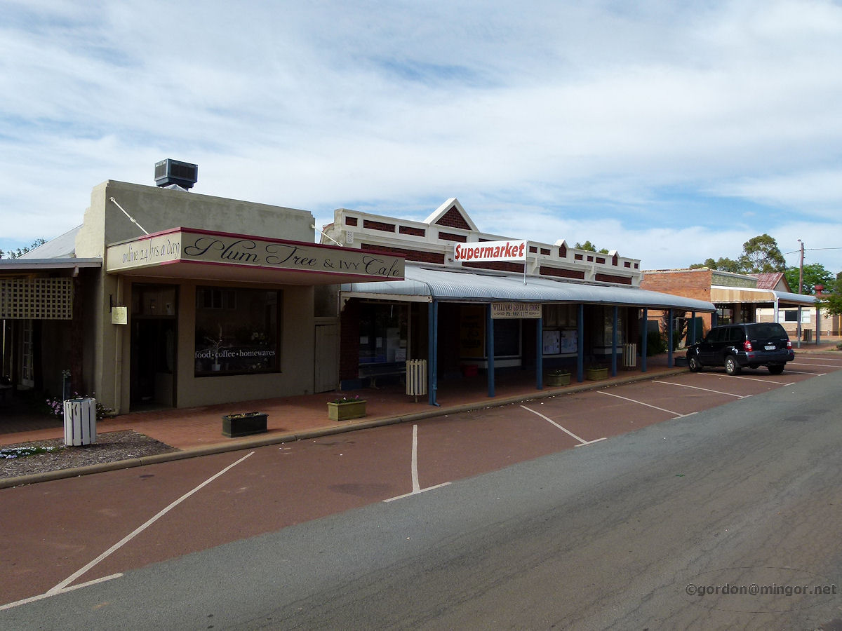 |
Williams - Shops The Plum Tree and Ivy Cafe, and next door the Williams General Store on Brooking Street. The cafe building was built in 1910 as a butcher's shop. The General Store was constructed in the same year. November 2011. Photos Ref: WLLM002 |
||
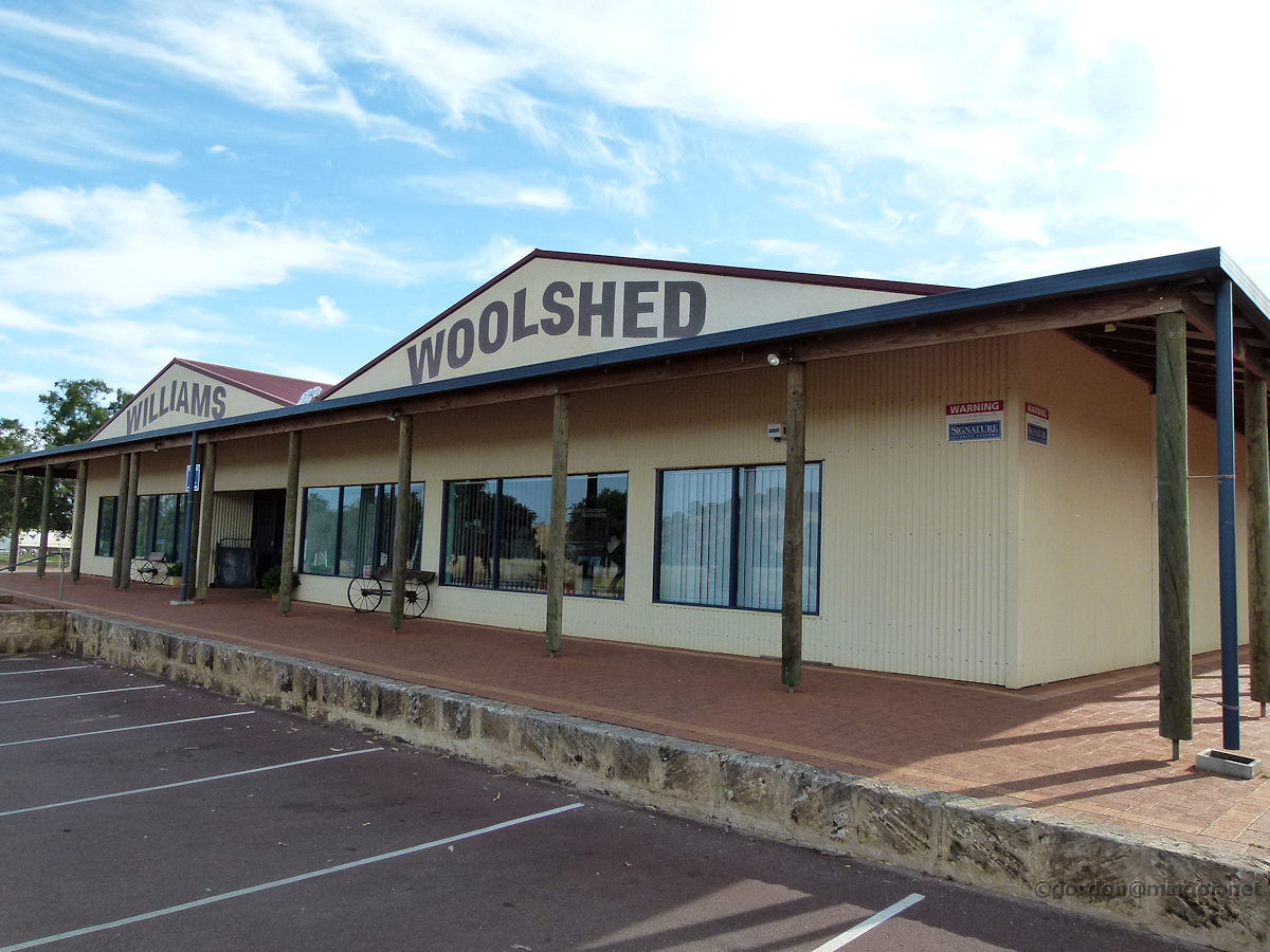 |
Williams - Woolshed The Williams Woolshed looks quite spectacular. It contains a number of tourist-style retail shops, a restaurant and an information centre and is located on Albany Highway right in the middle of town. It is almost impossible to miss if you're passing by. November 2011. Photos Ref: WLLM003 |
||
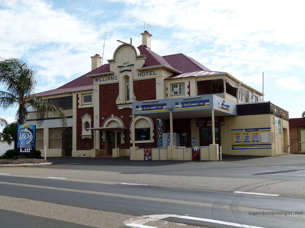 |
Williams - Hotel The Williams Hotel, established in 1850, sitting on the east side of the Albany Highway. The hotel underwent modifications in 1912 and then various other changes over the decades. November 2011. Photos Ref: WLLM004 |
||
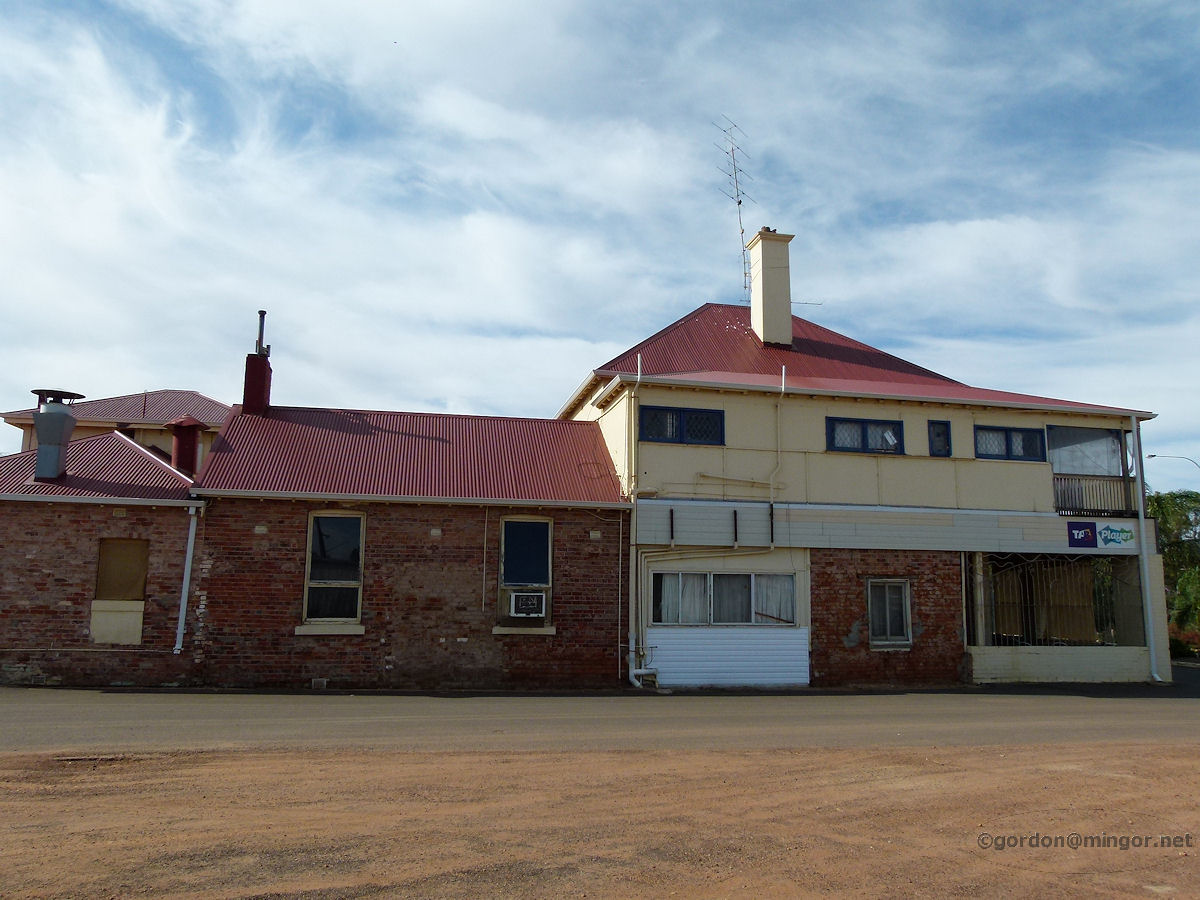 |
Williams - Hotel Another aspect of the Williams Hotel. This is the side of the building showing its northern face. November 2011. Photos Ref: WLLM005 |
||
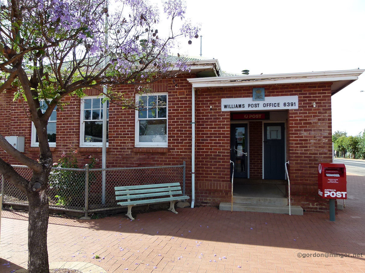 |
Williams - Post Office Post Office Williams 6391 is on the corner of Albany Highway and Brooking Street. This building dates back to 1923. November 2011. Photos Ref: WLLM006 |
||
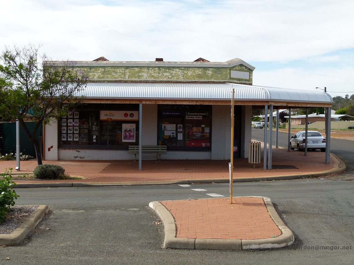 |
Williams - Shops on Brooking Street The newsagency and real estate agency on Brooking Street at the corner of Growse Street. This building was erected in 1910. November 2011. Photos Ref: WLLM007 |
||
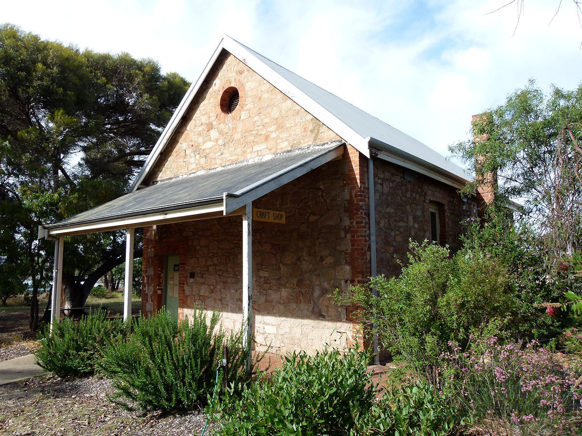 |
Williams - Agricultural Hall The Williams Agricultural Hall was opened on 22nd February 1898 by M. Quinn Esq. The hall was originally used for social events, church services, weddings, Road Board meetings and as a school. In the Second World War it was used as an aircraft spotting station. These days it is an arts and crafts centre. November 2011. Photos Ref: WLLM008 |
||
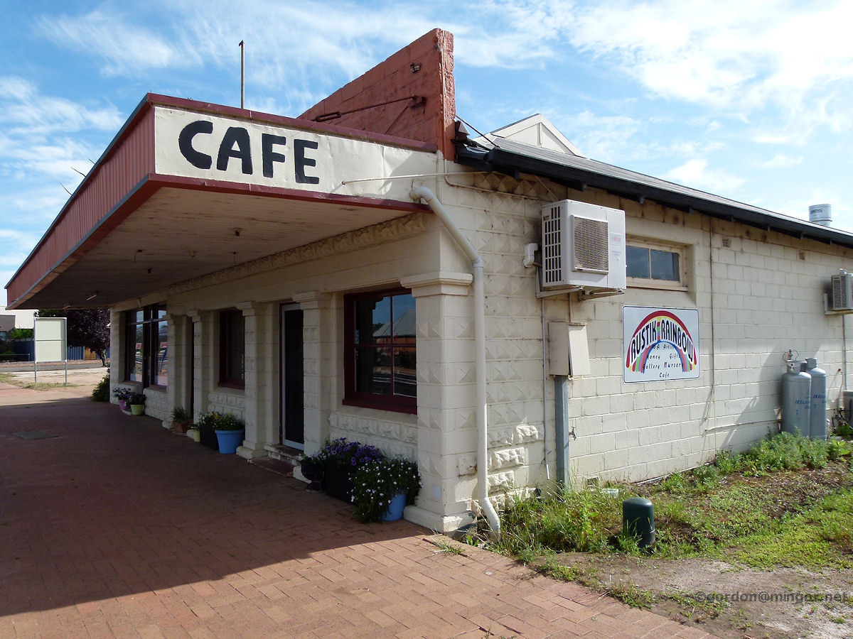 |
Williams - Rustik Rainbow Cafe The Rustik Rainbow Cafe, home of art, honey, gifts, a gallery, a nursery, and of course a cafe. November 2011. Photos Ref: WLLM009 |
||
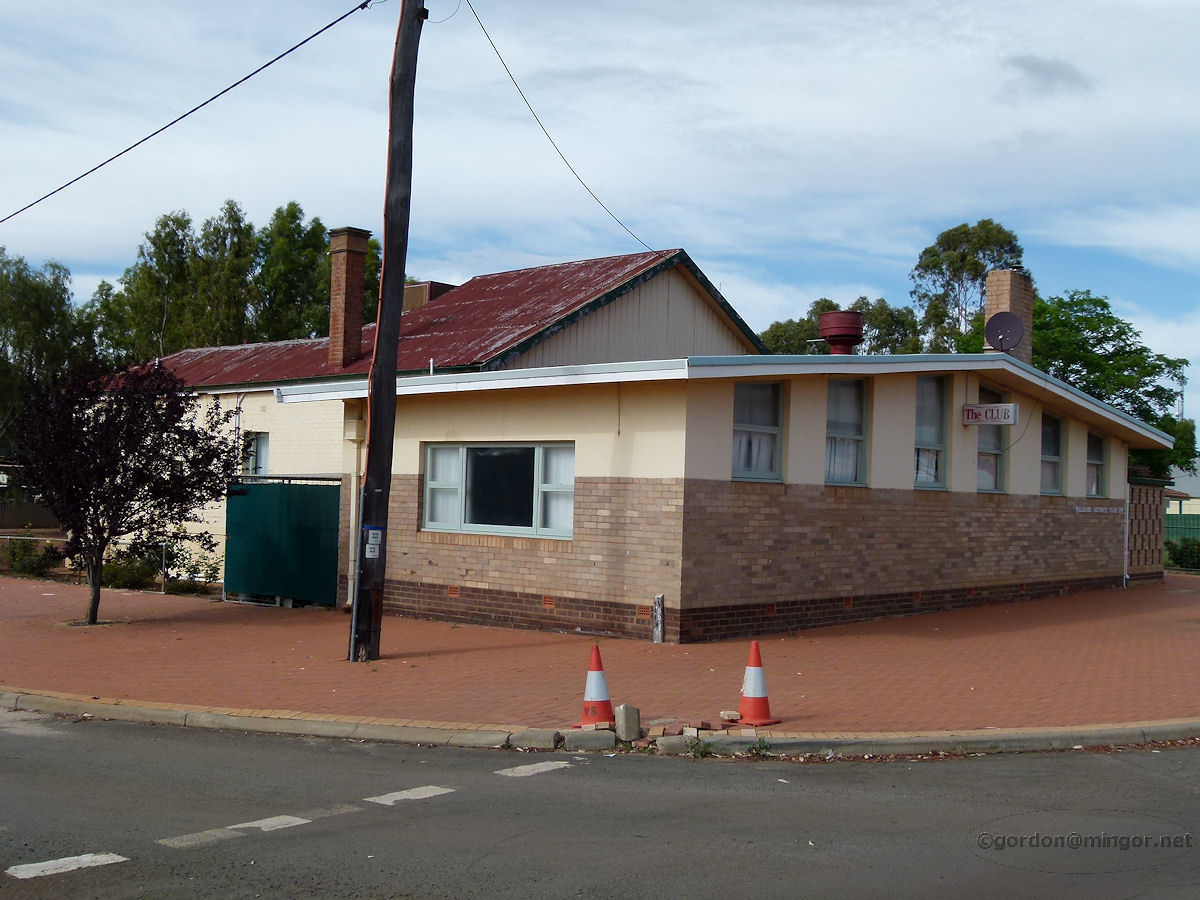 |
Williams - District Club The Williams District Club Inc. on Brooking Street. The Foundation Stone was laid on 16th December 1958 by Mr W. C. Carne, J.P and Chairman of the Williams Road Board. November 2011. Photos Ref: WLLM010 |
||
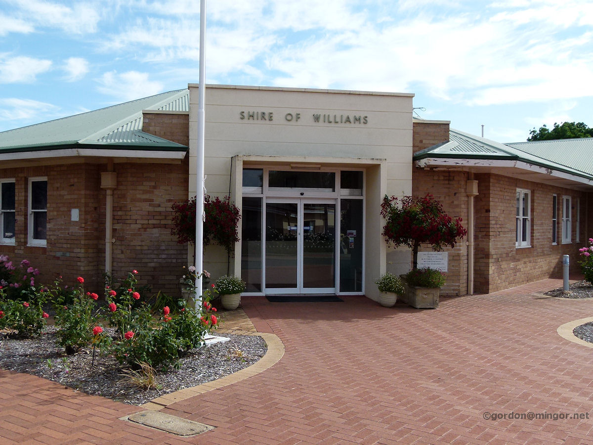 |
Williams - Shire Offices The Shire of Williams offices on Brooking Street were constructed in 1959. November 2011. Photos Ref: WLLM011 |
||
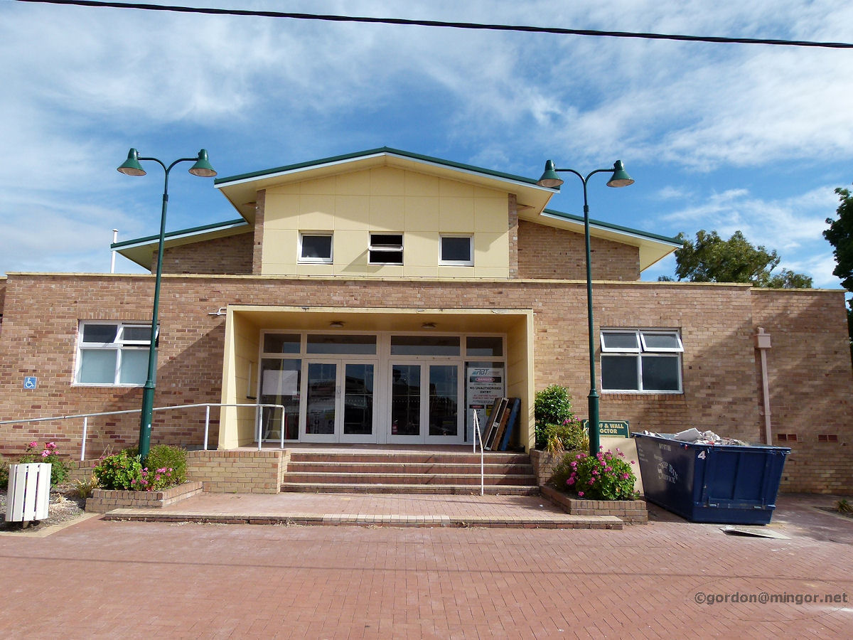 |
Williams - Community Hall Next to the Shire of Williams on Brooking Street and probably around the same vintage is what appears to be the Shire Hall. November 2011. Photos Ref: WLLM012 |
||
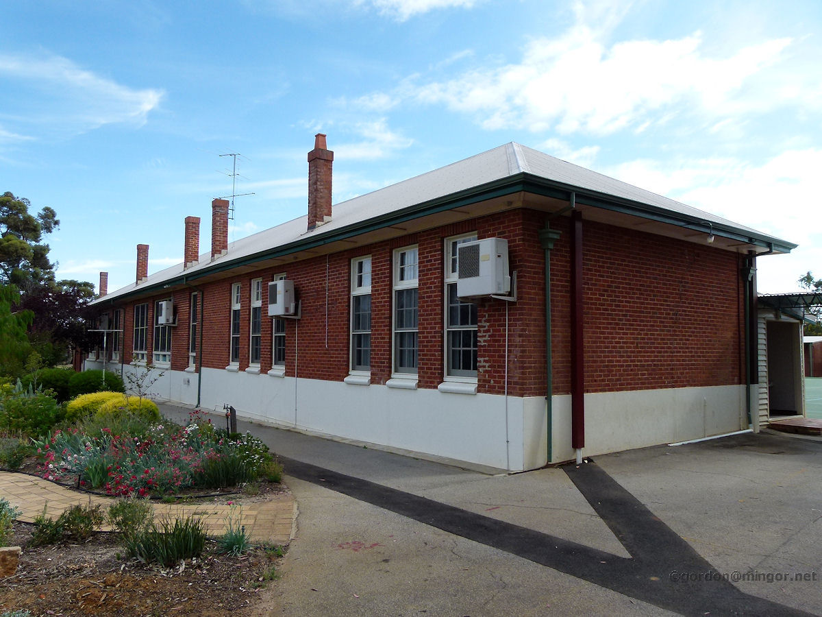 |
Williams - Primary School One wing of the Williams Primary School. Inside looks very pleasant including a large undercroft area for eating lunch and having assemblies. November 2011. Photos Ref: WLLM013 |
||
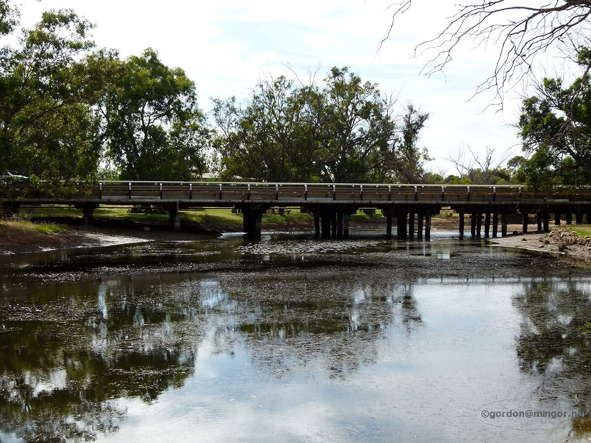 |
Williams - River The Williams River flows under the Albany Highway road bridge on the south side of town. This bridge was opened in 1936. November 2011. Photos Ref: WLLM014 |
||
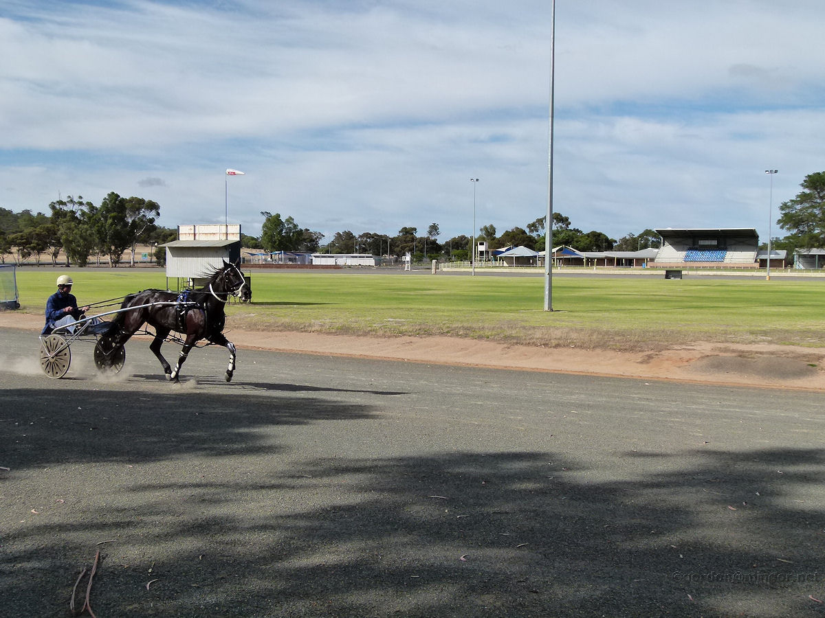 |
Williams - Trotting Track Action on the trotting track. A reinsman puts his charge through its paces early on a cool Sunday morning. November 2011. Photos Ref: WLLM015 |
||
All images published on this website are copyright © of the webmaster. See About section for clarification and special schools permission |
|||